
Conduct a GIS records search in Arkansas using our GIS records resources.
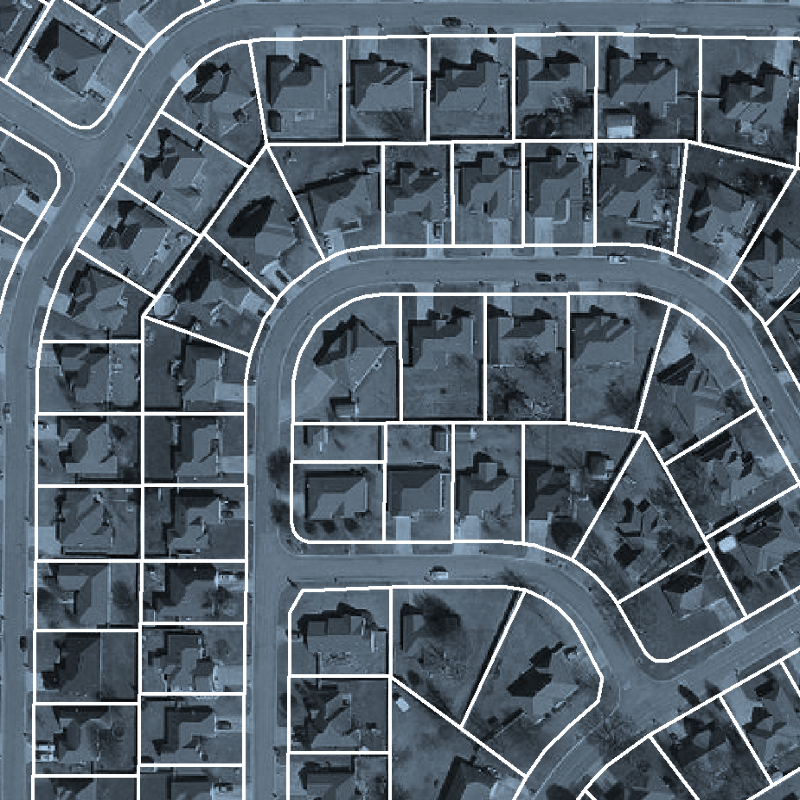
View our GIS records resources for the state of Arkansas. Use these GIS records to search for land ownership maps, cadastral maps, or property line maps. GIS records may contain GIS property search records, property ownership maps, and other public GIS record information.

| County | Resource | Details |
|---|---|---|
|
View Arkansas GIS maps including census tracts, townships, and more by county. |
||
| yell county |
View Yell County road map. |
|
| white county |
Search the Arkansas Crime Information Center's sex offender directory by name, address or county through GIS maps. |
|
| washington county |
View City of Fayetteville Police crime maps by incident type. |
|
| washington county |
View City of Fayetteville GIS maps including land use map, City-owned property map, aerial photography maps, and others. |
|
| washington county |
View Washington County voting precinct map. |
|
| van buren county |
View Van Buren County voter registration and election information including voting district maps. |
|
| sevier county |
Search the Arkansas Crime Information Center sex offender directory by name, address or county through GIS maps. |
|
| sebastian county |
View City of Fort Smith Police crime maps by incident type. |
|
| sebastian county |
View Sebastian County GIS maps including parcel search. |
|
| pulaski county |
View Pulaski County election maps including precinct maps, municipal map, school map, and other maps. |
|
| pulaski county |
View Pulaski County floodplain management information including floodplain maps. |
|
| pulaski county |
Search Pulaski County parcels through GIS maps. |
|
| pulaski county |
View Pulaski County voter and election information including voter registration forms, poll worker application, early voting location maps, and more. |
|
| greene county |
View Greene County maps including county road map, city map, ward map, and others. |
|
| garland county |
View Garland County maps including county road map, district maps, and others. |
|
| faulkner county |
View City of Conway GIS maps including zoning map, street mapbook, city council wards map, and other maps. |
|
| craighead county |
View City of Jonesboro floodplain maps. |
|
| craighead county |
View City of Jonesboro road construction map. |
|
| craighead county |
View City of Jonesboro city ward maps. |
|
| conway county |
View Conway County registered sex offenders including map. |
|
| clark county |
View Clark County district maps. |
|
| benton county |
View City of Rogers GIS maps including aerial photos. |
|
| benton county |
View Benton County GIS maps including aerial photos, school districts, voting precinct maps, flood maps, and other maps. |
|
| benton county |
Search Benton County restaurant inspections through GIS maps. |
|
| benton county |
Use interactive GIS map to search for sex offenders living in Benton County. |
The information provided on this website about U.S. States, Counties, and Cities, is compiled from publicly available sources and is made available “as is” for informational purposes only. No representations, warranties or guarantees are made as to the accuracy, adequacy, reliability, currentness, completeness, suitability or applicability of the information contained on this website for any particular purpose. All 3rd party trademarks are for reference purposes only. PublicRecords.com powered by Intelius is a privately owned website and is not a direct source of government records or services and not affiliated with any government agency.
Below, you will find a list of offices in Arkansas that may hold GIS maps. When requesting GIS records from these offices, it's important to be aware of any procedures, requirements, and fees associated with obtaining the records. Contacting the respective office directly will provide you with the most accurate and up-to-date information regarding access to GIS records in Arkansas.
| Image | Office | Address | Phone |
|---|---|---|---|
 |
501 Woodlane Street Ste G4 Little Rock, AR 72201 | (501)-682-2767 |
The information provided on this website about U.S. States, Counties, and Cities, is compiled from publicly available sources and is made available “as is” for informational purposes only. No representations, warranties or guarantees are made as to the accuracy, adequacy, reliability, currentness, completeness, suitability or applicability of the information contained on this website for any particular purpose. All 3rd party trademarks are for reference purposes only. PublicRecords.com powered by Intelius is a privately owned website and is not a direct source of government records or services and not affiliated with any government agency.
Compiled by: Chris E. | Reviewed by: Blake A. | Last update: 03/13/24
Arkansas has a variety of GIS records that are accessible to anyone. These records encompass a wide range of data allowing individuals to access and review available information online. Records can include but are not limited to, land ownership maps, property lines maps, and cadastral mapping information. We compile our resource lists from reliable government agencies to ensure ease in your search.
If you couldn't find the resource you were searching for, go to the Arkansas Property & Land Records page for other public records resources. Looking for something other than property and land tax records in Arkansas? Search the database of all public records available.
Visit our Contact Us page to report any issues.
Use the citation tool to easily create a properly formatted citation or reference. Select the format you’d like to use and copy the link from the screen below.
The information provided on this website about U.S. States, Counties, and Cities, is compiled from publicly available sources and is made available “as is” for informational purposes only. No representations, warranties or guarantees are made as to the accuracy, adequacy, reliability, currentness, completeness, suitability or applicability of the information contained on this website for any particular purpose. All 3rd party trademarks are for reference purposes only. PublicRecords.com powered by Intelius is a privately owned website and is not a direct source of government records or services and not affiliated with any government agency.
This site contains REAL public records data including criminal records, background reports, photos, court documents, address information, phone numbers, civil judgments, properties owned, social media profiles, and much more.
PublicRecords.com powered by Intelius does not provide consumer reports and is not a consumer reporting agency under the Fair Credit Reporting Act. We provide information (criminal record, address, phone number, property, civil judgment, and more) that can be used to satisfy your curiosity, protect your family, and find the truth about people in your life. To use our site you must certify below that you agree to our Privacy Policy and Terms of Use and will NOT use our site or the information we provide:


