
Conduct a GIS records search in Iowa using our GIS records resources.
View our GIS records resources for the state of Iowa. Use these GIS records to search for land ownership maps, cadastral maps, or property line maps. GIS records may contain GIS property search records, property ownership maps, and other public GIS record information.

| County | Resource | Details |
|---|---|---|
|
View Iowa election district maps including senate district map, school district maps, and other maps. |
||
|
View Iowa GIS maps provided by Iowa State University. |
||
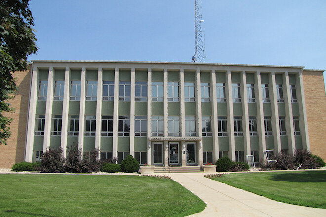
| hardin county |
Search Hardin County property assessment records by name, address, and parcel ID including GIS map. |
|
| hardin county |
View various maps of Hardin County including county election maps, incorporated and unincorporated township street maps, and more. |
|
| hardin county |
View Hardin County voter registration and election information including absentee ballot, polling locations, election maps, and candidate information. |
|
| hardin county |
View Hardin County zoning ordinances and maps by title and contents. |
|
| hardin county |
Explore Hardin County's comprehensive GIS database for detailed digital maps including parcels, municipal boundaries, and more for effective planning and analysis. |
|
| hardin county |
Explore Hardin County, Iowa's GIS maps for property information, boundaries, and geographical data through the Beacon system. |
|
| hardin county |
Explore Hardin County, Iowa's GIS portal for comprehensive property information, interactive maps, and aerial imagery. Access land records and more. |
|
| hardin county |
Hardin County Assessor's Office - Property Information & GIS Maps |
Explore Hardin County's GIS maps for property assessments, valuations, and more. The Assessor's Office provides detailed property information but does not collect or calculate taxes, set tax rates, or establish Board of Review policies. |
| dallas county |
View Dallas County floodplain information including floodplain maps. |
|
| dallas county |
View Dallas County zoning maps. |
|
| dallas county |
Discover the costs for car registration in Dallas County, IA, including title, lien, and registration fees. Learn about transferring vehicle plates and registration credits. |
|
| dallas county |
Renew your vehicle registration in Dallas County, IA. For assistance, call 18663397912. Payments can be made by mail or at the courthouse drop box on the north side. |
|
| dallas county |
Find all the information you need for car registration in Dallas County, Iowa, including how to register, pay, renew, and update your vehicle details. |
|
| dallas county |
Ensure a smooth license plate exchange in Dallas County, IA by bringing your current Iowa plates and vehicle registration. Schedule your visit today. |
|
| dallas county |
Simplify your vehicle registration process in Dallas County, IA, with our online appointment system for title transfers and specialty platesâno more long lines! |
|
| muscatine county |
View various maps of Muscatine County, including section corner ties, GPS monuments, and original surveys and plats of congressional township. |
|
| muscatine county |
View various Muscatine County zoning maps. |
|
| muscatine county |
View Muscatine County Board of Supervisors meeting minutes by month and year from 2012 to present. |
|
| clinton county |
View various maps of Clinton County, including cemetery listing, rural address, highway and transportation, and school district maps. |
|
| clinton county |
View Clinton County township zoning maps. |
|
| clinton county |
Search Clinton County property assessment and sales records by owner name, parcel number or address. |
|
| sioux county |
View Sioux County polling locations by city and physical location. |
|
| lyon county |
View Lyon County GIS maps including parcel search. |
|
| lyon county |
View Lyon County voter registration and election information, including list of current polling locations, absentee ballot, voting precinct map, and more. |
|
| lyon county |
View Lyon County current voting precinct map. |
|
| lyon county |
View Lyon County zoning ordinance, subdivision regulations, and zoning maps by date. |
|
| lyon county |
View Lyon County election results. |
|
| wright county |
View various Wright County maps including voting precincts, supervisor districts, township map, transportation, and school districts. |
|
| worth county |
Search Worth County property records through GIS mapping by parcel number, address, name, and more. |
|
| worth county |
View Worth County school election map school district names. |
|
| worth county |
View Worth County Supervisor updated districts map. |
|
| worth county |
View Worth County voting precinct map by location. |
|
| woodbury county |
Search Woodbury County section corners through GIS maps. |
|
| woodbury county |
Search Woodbury County property assessment records and GIS maps. |
|
| woodbury county |
Search the City of Sioux City crime statistics map by district number. |
|
| woodbury county |
View Woodbury County proposed future land use map. |
|
| woodbury county |
View Woodbury County voting precinct maps by precinct numbers. |
|
| winneshiek county |
Search Winneshiek County property records and parcel maps. |
|
| winneshiek county |
View Winneshiek County Supervisor districts map. |
|
| winnebago county |
Search Winnebago County property assessment records including GIS maps. |
|
| webster county |
Search Webster County property tax and assessment records by parcel number, address, city, legal description, and more through GIS maps. |
|
| webster county |
Search Webster County property records through GIS mapping by parcel number, section, and township. |
|
| washington county |
View various maps of Washington County, including 911 map book, transportation maps, road construction maps, traffic count maps, crash maps, and city maps. |
|
| washington county |
View Washington County floodplain information including floodplain maps. |
|
| washington county |
Search updated Washington County property records through GIS mapping. |
|
| washington county |
Search Washington County library databases, including genealogy, maps, magazines, books, professional journals, and newspapers. A Washington county public library card is required to access these resources. |
|
| washington county |
View Washington County voter registration and election information, including absentee ballot, polling locations, and various election maps. |
|
| warren county |
View Warren County road closings. |
|
| warren county |
Search Warren County property assessment records by name, address, and parcel number including GIS map. |
|
| union county |
Search Union County property assessment records and parcel maps by name, address, parcel number, and more including GIS maps. |
|
| taylor county |
Search Taylor County property records through GIS maps. |
|
| story county |
Search Story County section corners through GIS mapping including instructions on how to navigate through the GIS website. |
|
| story county |
View information about Story County sex offender residency restriction maps. |
|
| story county |
Search Story County property assessment records by parcel ID, address, and township section including GIS map. |
|
| story county |
View various maps of the City of Ames, including commercial and residential assessment, zoning, school district, street and census maps. |
|
| story county |
View various maps of Story County, including voting precincts, 911, and voting district maps. |
|
| shelby county |
Search Shelby County property assessment records by name, address, and parcel number including GIS maps. |
|
| scott county |
Search the City of Davenport property records through GIS mapping. |
|
| scott county |
Search current interactive GIS maps of Scott County for aerial photos, roads, property boundaries and detailed tax and appraisal information. |
|
| scott county |
View Scott County various polling precinct maps. |
|
| scott county |
View Scott County voter registration and election information including absentee ballot, polling locations, precinct maps, and more. |
|
| sac county |
Search Sac County property assessment records by name, address or parcel number including GIS maps. |
|
| poweshiek county |
Search Poweshiek County property assessment records by name, address or parcel ID including GIS maps. |
|
| polk county |
Search Polk County GPS monuments by location or control point. |
|
| polk county |
View a map that shows the 2000 ft. buffer zones around Polk County schools and daycares in which certain sex offenders are prohibited from living. |
|
| polk county |
Search the City of Des Moines crime incident map. |
|
| polk county |
Search City of West Moines Police crime maps. |
|
| polk county |
Search interactive GIS maps of the City of West Des Moines, such as digital maps, zoning, land use, parks and trails, municipal buildings, street and lane closures, crime, and general city maps, and more. |
|
| polk county |
View various static maps of the City of West Des Moines, such as digital maps, zoning, street maps, comprehensive plan land use map, and more. |
|
| polk county |
View Polk County legislative and election district maps. |
|
| polk county |
View Polk County subdivision ordinance, zoning ordinance, and zoning map. |
|
| pocahontas county |
Search Pocahontas County property assessment records by name, address or parcel id including GIS maps. |
|
| page county |
Search Page County property assessment records by name, address or parcel ID including GIS maps. |
|
| osceola county |
View Osceola County voting precinct map and polling locations. |
|
| obrien county |
View O'Brien County maps including drainage district map, supervisor districts map, voting districts map, and other maps. |
|
| montgomery county |
Search Montgomery County property assessment records by name, address, map ID, and parcel ID including GIS maps. |
|
| montgomery county |
View maps of conservation areas in Montgomery County such as hunting map. |
|
| montgomery county |
View various maps of Montgomery County, including aerial imagery, enterprise zones, public hunting, and railroad overhead bridge detour maps. |
|
| montgomery county |
View current Montgomery County voting precinct map. |
|
| monroe county |
View Monroe County zoning maps. |
|
| mitchell county |
Search interactive Mitchell County GIS map for property tax and assessment records by parcel number, address, or owner name. |
|
| mitchell county |
View Mitchell County voting precinct map. |
|
| mills county |
Search Mills County property assessment records by owner name, address, township, or parcel ID, including GIS maps. |
|
| marion county |
Search Marion County property assessment records by name, address, parcel ID, and more including GIS maps. |
|
| marion county |
View Marion County cemetery listing by township trustees or clerks including cemetery records search by name. |
|
| marion county |
View various maps of Marion County, including highways, rural roads and streets, county, town and villages, cemetery maps, and more. |
|
| marion county |
View Marion County voting precincts and polling locations map. |
|
| mahaska county |
Search Mahaska County property assessment records and parcel maps by name, address, and parcel ID. |
|
| mahaska county |
View various maps of Mahaska County, including rural address map, cemetery, school district map, voting precincts maps, and more. |
|
| louisa county |
Search Louisa County property assessment records by name, address, parcel ID, and more including GIS maps. |
|
| linn county |
View the City of Cedar Rapids traffic maps, such as volume and crash data, truck routes, street closures, including capital improvement projects. |
|
| linn county |
View Linn County voting precinct and district maps or purchase maps through the Election Services office. |
|
| linn county |
View Linn County voter registration and election information, including absentee ballot, precinct location, election maps, and more. |
|
| lee county |
Search Lee County property assessment records through GIS maps. |
|
| kossuth county |
Search Kossuth County property records through GIS mapping. |
|
| keokuk county |
Search Keokuk County property assessment records and parcel maps by name, address, parcel ID, and more. |
|
| jones county |
Search Jones County property assessment records including GIS maps. |
|
| jones county |
View Jones County transportation maps, construction projects maps, traffic count map, and other maps. |
|
| jones county |
View Jones County polling locations and precinct address and location including boundary maps. |
|
| jones county |
View Jones County voter registration and election information, including voting locations and district maps, absentee ballot, and various elections results from 2003 to present. |
|
| johnson county |
Search Johnson County property assessment records and parcel maps by name, address, parcel ID, and more. |
|
| jasper county |
Search Jasper County property tax and assessment records by name, address, township and parcel ID including GIS map. |
|
| jackson county |
Search Jackson County property assessment records and parcel maps by name, address, parcel number, and township including GIS map. |
|
| iowa county |
Search Iowa County property assessment records through GIS map. |
|
| howard county |
View maps of conservation areas in Howard County such as recreation, education, projects, donations, and more. |
|
| henry county |
Search Henry County property assessment records and parcel maps by name, address, township, and parcel ID including GIS map. |
|
| henry county |
View current Henry County voting precinct map. |
|
| harrison county |
Search Harrison County property assessment records and parcel search by name, address, township and parcel ID including GIS map. |
|
| hancock county |
View Hancock County current drainage maps by township. |
|
| hancock county |
View Hancock County zoning maps by township. |
|
| hamilton county |
View static maps of Hamilton County, including voting district, school district, conservation, cemetery, and street maps. |
|
| guthrie county |
Search Guthrie County property records through GIS mapping. |
|
| grundy county |
Search Grundy County property assessment records by name, address, and parcel ID including GIS maps. |
|
| grundy county |
Search Grundy County cemetery records by deceased name, death year, or cemetery through GIS mapping. |
|
| grundy county |
View a map of Grundy County embargoed roads. |
|
| grundy county |
View Grundy County voting precinct map. |
|
| greene county |
View Greene County highway and transportation map, county map, and topographic maps. |
|
| greene county |
Search Greene County property assessment records through GIS map. |
|
| fremont county |
View various maps of Fremont County, including road, zoning, and school bus routes map. |
|
| franklin county |
Search Franklin County property assessment records by name, address, and parcel ID including GIS maps. |
|
| franklin county |
View various maps of Franklin County, including election, legislative, zoning, floodplain, town street maps, and unincorporated areas street maps. |
|
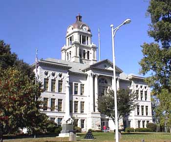
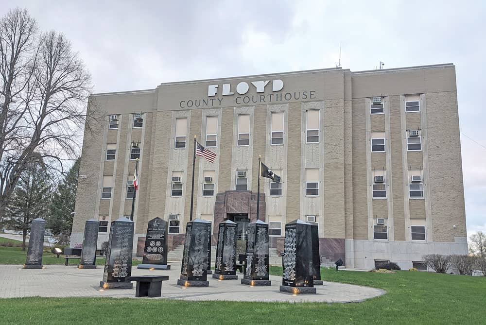
| floyd county |
Search Floyd County property assessment records by name, address, township, and parcel ID including GIS map. |
|
| fayette county |
Search Fayette County property assessment records name, address, house number, township, and parcel ID including GIS map. |
|
| fayette county |
View various maps of Fayette County including address, road, cemetery maps, and more. |
|
| emmet county |
Search Emmet County property assessment records by name, address, and parcel ID including GIS maps. |
|
| dubuque county |
View information about maps of the City of Dubuque, including voting precincts, wards, park locations, and neighborhood associations. |
|
| dubuque county |
View Dubuque County GIS maps, including interactive parcel map with property records, and static maps such as roads, election precincts, and fire districts. |
|
| dickinson county |
View various maps of Dickinson County including city, parks, road, cemetery, voting precincts and district maps. |
|
| dickinson county |
Search Dickinson County property records through GIS mapping. |
|
| dickinson county |
View Dickinson County veterans paver map. |
|
| des moines county |
Search Des Moines County property tax and assessment records through GIS mapping. |
|
| delaware county |
Search Delaware County property assessment records and parcel maps. |
|
| davis county |
Search Davis County property assessment records and parcel maps. |
|
| davis county |
View Davis County polling locations and precinct maps. |
|
| davis county |
View Davis County voter registration and election information including absentee ballot, polling locations and election results. |
|
| crawford county |
Search Crawford County property records through interactive mapping. |
|
| crawford county |
View Crawford County road and bridge maps including level B & C Road map. |
|
| clayton county |
Search Clayton County property assessment records by name, address, parcel ID, and more including GIS maps. |
|
| clayton county |
View Clayton County road map. |
|
| clay county |
View various maps of Clay County, including voting precinct, school district, aerial, township, cemetery maps, fire districts, and more. |
|
| clay county |
Search Clay County property records through interactive GIS mapping. |
|
| clarke county |
Search Clarke County property tax and assessment records through GIS mapping. |
|
| chickasaw county |
Search Chickasaw County property assessment records and parcel maps by name search, address, parcel ID, township, and more. |
|
| chickasaw county |
View Chickasaw County supervisor districts map, including voting precincts. |
|
| cherokee county |
View Cherokee County cemetery listing and map by township, address, phone number, and more. |
|
| cerro gordo county |
Search Cerro Gordo County property tax and assessment records by address, name or parcel number including GIS maps. |
|
| cedar county |
View Cedar County GIS maps, including interactive parcel maps with property records, and static maps, such as forests, aerial, topography, township reference, and floodplain maps. |
|
| cass county |
Search Cass County property tax and assessment records by name, address, parcel ID, or township including GIS maps. |
|
| cass county |
View Cass County voter registration and election information including voting precincts map. |
|
| calhoun county |
View Calhoun County GIS maps including parcel search by address or parcel number. |
|
| butler county |
Search Butler County property assessment records through interactive GIS mapping. |
|
| butler county |
View Butler County current voting precinct map. |
|
| buena vista county |
View Buena Vista County Board of Supervisors district maps. |
|
| bremer county |
Search Bremer County property assessment records and parcel maps by name, address, and parcel ID and more. |
|
| boone county |
Search Boone County property tax and assessment records through GIS mapping. |
|
| boone county |
View Boone County Engineering maps, such as bridge load limits, level B roads, and GPS control network maps and more. |
|
| black hawk county |
Search Black Hawk County property assessments and zoning information through GIS mapping. |
|
| black hawk county |
View Black Hawk County zoning map. |
|
| benton county |
Search Benton County property assessment records and parcel map by name, address, parcel ID, and more. |
|
| audubon county |
Search Audubon County property assessment records by name, address, and parcel ID including parcel maps. |
|
| allamakee county |
Search Allamakee County property assessment records and parcel maps by name, house number, township, parcel ID and more. |
The information provided on this website about U.S. States, Counties, and Cities, is compiled from publicly available sources and is made available “as is” for informational purposes only. No representations, warranties or guarantees are made as to the accuracy, adequacy, reliability, currentness, completeness, suitability or applicability of the information contained on this website for any particular purpose. All 3rd party trademarks are for reference purposes only. PublicRecords.com powered by Intelius is a privately owned website and is not a direct source of government records or services and not affiliated with any government agency.
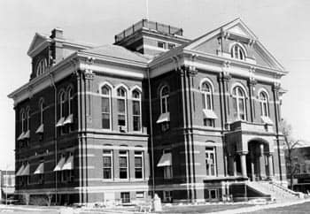
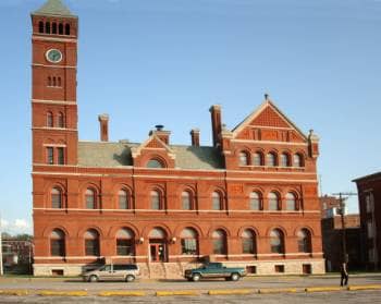
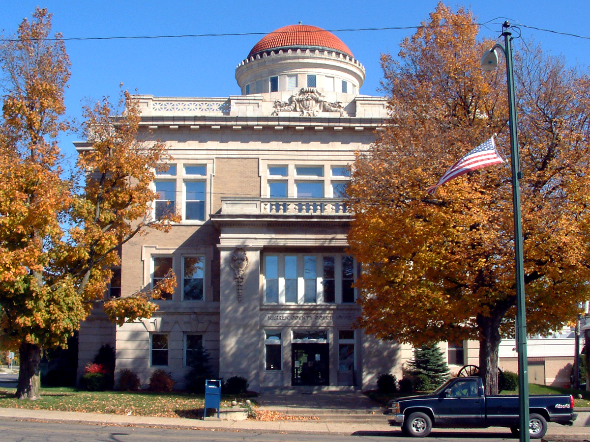
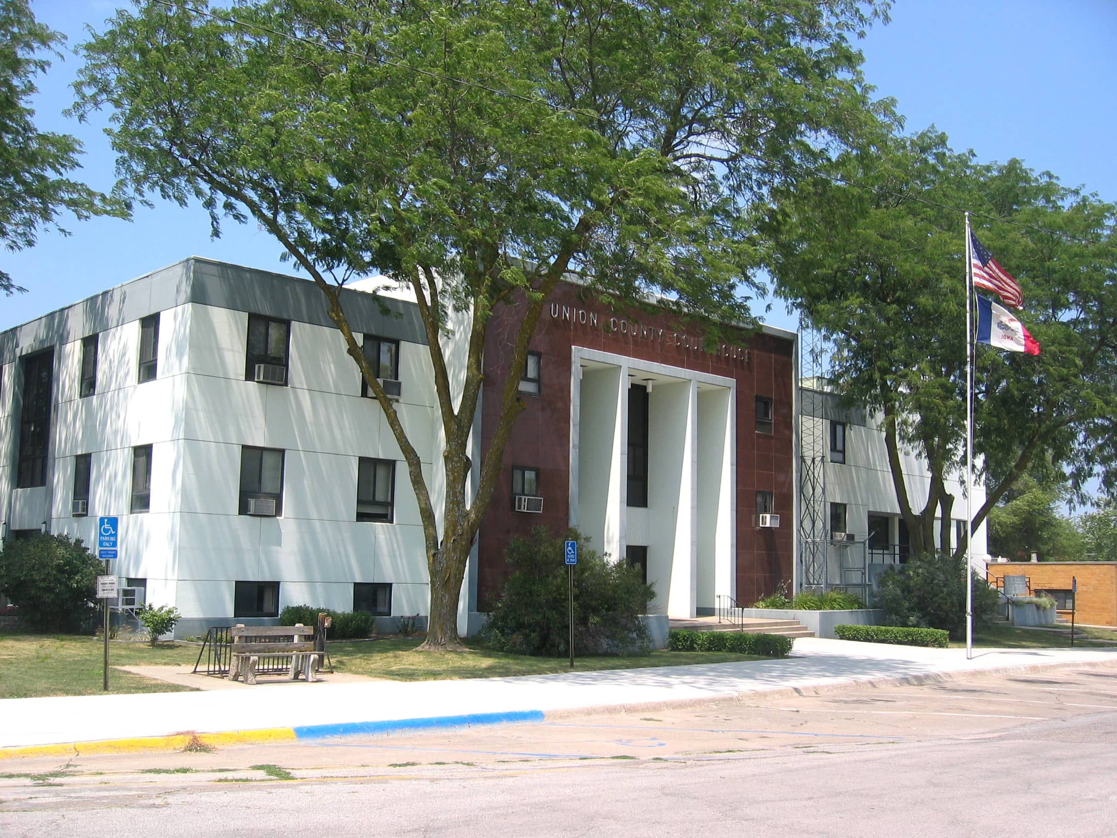
Below, you will find a list of offices in Iowa that may hold GIS maps. When requesting GIS records from these offices, it's important to be aware of any procedures, requirements, and fees associated with obtaining the records. Contacting the respective office directly will provide you with the most accurate and up-to-date information regarding access to GIS records in Iowa.
| Image | Office | Address | Phone |
|---|---|---|---|
 |
112 E Main Street, Clarinda, IA 51632 | (712)-542-2516 | |
 |
25 North 7th, Keokuk, IA 52632 | (319)-524-1375 | |
 |
207 North Main St., Leon, IA 50144 | (641)-446-4314 | |
 |
301 North Buxton St., Suite 108, Indianola, IA 50125 | (515)-961-1010 | |
 |
300 N Pine Street, Suite 8, Creston, IA 50801 | (641)-782-1735 | |
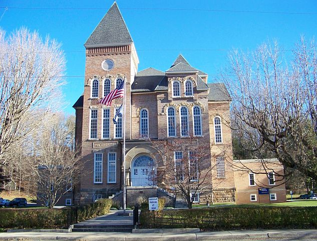 |
99 Court Square, Suite 2, Pocahontas, IA 50574 | (712)-335-5016 | |
 |
105 East Coolbaugh St., Red Oak, IA 51566 | (712)-623-4171 | |
 |
201 West Platt St., Maquoketa, IA 52060 | (563)-652-4935 | |
 |
1215 Edgington Ave #2, Eldora, IA 50627 | (641)-939-8100 | |
 |
706 G Avenue, Grundy Center, IA 50638 | (319)-824-6216 | |
 |
100 Courthouse Square, Bloomfield, IA 52537 | (641)-664-3101 | |
 |
201 State St., Boone, IA 50036 | (515)-433-0508 | |
 |
111 East Fourth St., Vinton, IA 52349 | (319)-472-5211 | |
 |
620 Douglas Street. Sioux City, Iowa 51101 | (712)-279-6535 | |
 |
900 6th St., Nevada, IA 50201 | (515)-382-7320 | |
 |
515 Clark Ave., Ames, IA 50010 | (515)-239-5370 | |
 |
414 E Third St., Suite 202, Muscatine, IA 52761 | (563)-263-7061 | |
 |
101 S Main St., Suite 207, Charles City, IA 50616 | (641)-257-6152 | |
 |
114 North Vine Street, West Union, IA 52175 | (563)-422-3397 | |
 |
Clayton County Courthouse 111 High St. NE, Elkader, IA 52043 | (563)-245-2533 | |
 |
609 1st Avenue North Suite #2. Estherville, IA 51334 | (712)-362-2609 | |
 |
201 W Main St., Decorah, IA 52101 | (563)-382-5356 | |
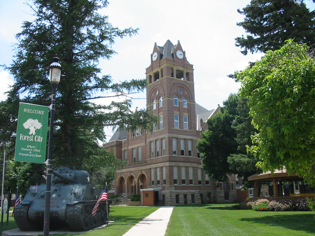 |
126 S Clark, Forest City, IA 50436 | (641)-585-2163 | |
 |
405 Jefferson St., Suite 5, Bedford, IA 50833 | (712)-523-2444 | |
 |
117 Plaza Lane, Osage, IA 50461 | (641)-832-3945 | |
 |
214 E Main St #10, Knoxville, IA 50138 | (641)-828-2215 | |
 |
106 South 1st St., Oskaloosa, IA 52577 | (641)-673-5805 | |
 |
101 South Main St., Sigourney, IA 52591 | (641)-622-2760 | |
 |
500 W Main St, Anamosa, IA 52205 | (319)-462-2671 | |
 |
Henry County Courthouse 100 E. Washington St., Suite 102, Mt. Pleasant, IA 52641 | (319)-385-0750 | |
 |
Franklin County Courthouse 12-1st Ave. NW, Hampton, IA 50441 | (641)-456-5118 | |
 |
Des Moines County Assessor Des Moines County Courthouse, Second Floor |
Des Moines County Courthouse, Second Floor 513 North Main St., Burlington, IA 52601 | (319)-753-8224 |
 |
8 East Prospect, New Hampton, IA 50659 | (641)-394-2813 | |
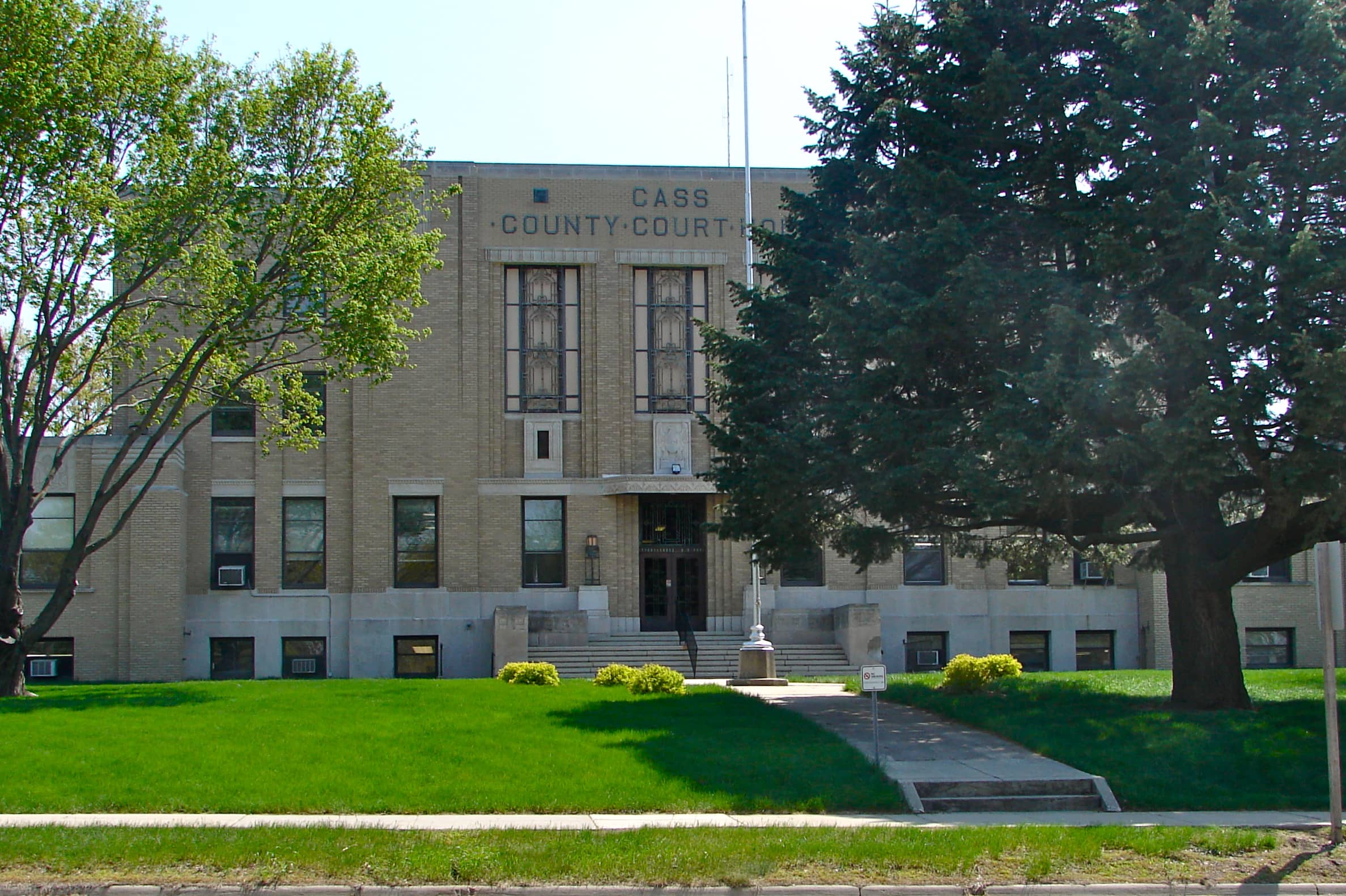 |
Cass County Courthouse 5 West 7th St., Atlantic, IA 50022 | (712)-243-2005 | |
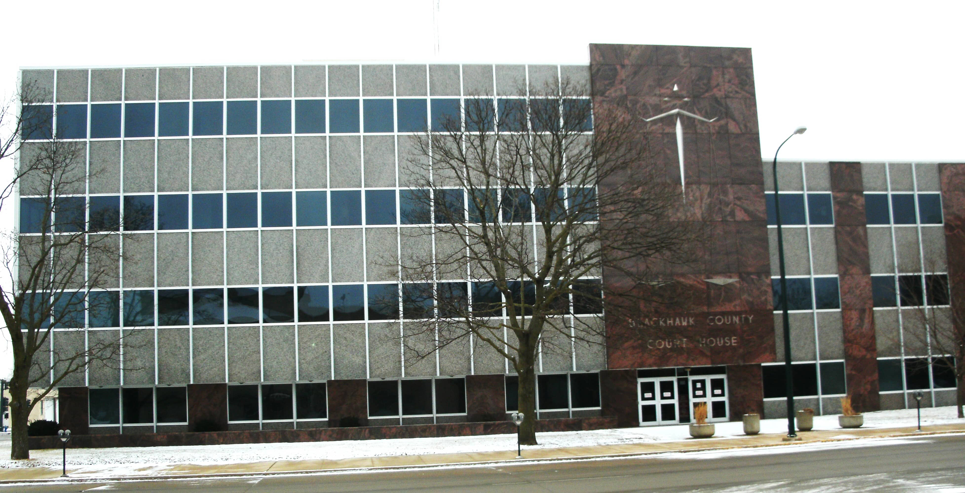 |
316 East 5th St., Room 209, Waterloo, IA 50703 | (319)-833-3006 | |
 |
110 Allamakee St, Waukon, IA 52172 | (563)-568-3145 |
The information provided on this website about U.S. States, Counties, and Cities, is compiled from publicly available sources and is made available “as is” for informational purposes only. No representations, warranties or guarantees are made as to the accuracy, adequacy, reliability, currentness, completeness, suitability or applicability of the information contained on this website for any particular purpose. All 3rd party trademarks are for reference purposes only. PublicRecords.com powered by Intelius is a privately owned website and is not a direct source of government records or services and not affiliated with any government agency.
Compiled by: Chris E. | Reviewed by: Blake A. | Last update: 03/13/24
Iowa has a variety of GIS records that are accessible to anyone. These records encompass a wide range of data allowing individuals to access and review available information online. Records can include but are not limited to, land ownership maps, property lines maps, and cadastral mapping information. We compile our resource lists from reliable government agencies to ensure ease in your search.
If you couldn't find the resource you were searching for, go to the Iowa Property & Land Records page for other public records resources. Looking for something other than property and land tax records in Iowa? Search the database of all public records available.
Visit our Contact Us page to report any issues.
Use the citation tool to easily create a properly formatted citation or reference. Select the format you’d like to use and copy the link from the screen below.
The information provided on this website about U.S. States, Counties, and Cities, is compiled from publicly available sources and is made available “as is” for informational purposes only. No representations, warranties or guarantees are made as to the accuracy, adequacy, reliability, currentness, completeness, suitability or applicability of the information contained on this website for any particular purpose. All 3rd party trademarks are for reference purposes only. PublicRecords.com powered by Intelius is a privately owned website and is not a direct source of government records or services and not affiliated with any government agency.
This site contains REAL public records data including criminal records, background reports, photos, court documents, address information, phone numbers, civil judgments, properties owned, social media profiles, and much more.
PublicRecords.com powered by Intelius does not provide consumer reports and is not a consumer reporting agency under the Fair Credit Reporting Act. We provide information (criminal record, address, phone number, property, civil judgment, and more) that can be used to satisfy your curiosity, protect your family, and find the truth about people in your life. To use our site you must certify below that you agree to our Privacy Policy and Terms of Use and will NOT use our site or the information we provide:


