
Conduct a permit lookup or inspections records search in New Hampshire using our permits and inspections records resources.
View our permits and inspections records resources for the state of New Hampshire. Use these permits and inspections records to conduct a permit search, view a permit status, or to search inspection information. Permits and inspections records may contain building permit status, permit history by address, construction status, plumbing inspections, and other public permit and inspections record information.

| County | Resource | Details |
|---|---|---|
|
Search for environmental information and data compiled by New Hampshire Department of Environmental Services including underground storage tanks, superfund sites, fuel storage leaks, surface water quality reports, GIS data, environmental monitoring data, and permit statuses. |
||
|
Search for environmental information and data compiled by New Hampshire Department of Environmental Services including underground storage tanks, superfund sites, fuel storage leaks, surface water quality reports, GIS data, environmental monitoring data, and permit statuses. |
||
| hillsborough county |
View various maps of the City of Nashua, including city-owned parcels, voting wards, historic districts, parks, streets and zoning districts. |
|
| hillsborough county |
View various Town of Amherst maps including property tax, streets, zoning, conservation lands and environmental features, historic districts, wetlands, and color aerial maps. |
|
| hillsborough county |
Search the Town of Antrim GIS map for property sales and assessment records. Search by owner name, address, or parcel ID. Map also provides conservation lands, areas of interest, zoning districts, and wetlands. |
|
| hillsborough county |
Search the Town of Bedford interactive GIS map for property sales and assessment records. Search by address, owner name, or parcel ID. Map also includes zoning districts, wetlands, aerial photos, and flood zones. |
|
| hillsborough county |
View various maps of the Town of Hollis including streets, zoning districts, trails, and historic districts. |
|
| hillsborough county |
View various maps of the Town of Pelham including zoning designations, streets, trails, and tax maps. |
|
| hillsborough county |
View various maps of the Town of Peterborough including tax, floodplains, zoning districts, and streets. |
|
| hillsborough county |
View the Town of Hancock water quality reports from 2009 to present. |
|
| hillsborough county |
View the Town of Hillsborough annual water quality reports. |
|
| hillsborough county |
View the City of Manchester restaurant inspection scores from 2006 to present. |
|
| hillsborough county |
View Town of Bennington annual water quality reports. |
|
| hillsborough county |
View decisions of the Town of Wilton Zoning Board since 1997, sorted by date. |
|
| hillsborough county |
View the Town of Peterborough 2012 water quality report. |
|
| sullivan county |
Search the Town of Grantham GIS map for property sales and assessment records by owner name, address, or parcel ID. Map also provides flood plains, zoning districts, and wetlands. |
|
| sullivan county |
View the Town of Newport annual water quality report. |
|
| sullivan county |
View the Town of Grantham issued building permit reports from 2009 to present. |
|
| rockingham county |
View various maps of the City of Portsmouth including zoning, voting wards, historic districts, trash and recycling route, and tax maps. |
|
| rockingham county |
Search the Town of Derry interactive GIS map for property sales and assessment records. Search by address, owner name, or parcel ID. Map also provides zoning districts, floodplains, wetlands, political districts, soils, and topography. |
|
| rockingham county |
View the Town of Candia GIS maps including flood hazard areas, zoning districts, roads, and tax maps. |
|
| rockingham county |
Search the Town of Exeter interactive GIS map for property sales and assessment records. Search by address or owner name. Map also includes historic photos, flood zones, conservation areas, flood zones, aerial photos, and wetlands. |
|
| rockingham county |
Search the Town of Fremont interactive GIS map for property sales and assessment records. Search by owner name, address, or parcel ID. Map also provides flood plains, zoning districts, and wetlands. |
|
| rockingham county |
Search the Town of Hampton interactive GIS map for property sales and assessment records. Search by owner name, address, or parcel ID. Map also provides conservation and public lands, zoning districts, floodplains, soils, and wetlands. |
|
| rockingham county |
Search and view the Town of Londonderry GIS maps including property parcels, aerial photography, zoning districts, conservation lands, and tax maps. |
|
| rockingham county |
Search and the Town of Windham GIS map for property sales and assessment records. Search by owner name, address, or parcel ID. Zoning, flood plains, street, and tax maps are also provided. |
|
| rockingham county |
View the City of Portsmouth water quality reports from 1999 to present. |
|
| rockingham county |
View the Town of Derry current water quality report from 2015 to present. |
|
| rockingham county |
View the Town of Exeter annual water quality reports. |
|
| rockingham county |
View the Town of Newmarket annual water quality report. |
|
| rockingham county |
View the Town of Seabrook annual water quality reports from 2009 to present. |
|
| rockingham county |
View the Town of Exeter monthly issued building permit reports. |
|
| merrimack county |
Search the City of Concord interactive GIS map for property sales and assessment records. Search by owner name, parcel ID, or address. Map also provides polling locations, schools, zoning districts, and aerial photos. |
|
| merrimack county |
Search the Town of Henniker GIS map for property sales and assessment records. Search by owner name, address, or parcel ID. Map also provides contours, flood zones, zoning districts, and wetlands. |
|
| merrimack county |
Search Town of Hopkinton interactive GIS map for property sales and assessment records. Search by owner name, address, or parcel ID. Map also provides zoning districts, contours, and wetlands. |
|
| merrimack county |
View various maps of the Town of Northfield including assessing, flood, zoning, and conservation area maps. |
|
| merrimack county |
View the City of Concord 2016 water quality report. |
|
| merrimack county |
Search for the City of Concord building permit records by permit number or address. |
|
| merrimack county |
View the Town of Dunbarton building permit logs from 2010 to present. |
|
| cheshire county |
View various GIS maps of the City of Keene including aquifer protection areas, trails, streets, zoning, and historic districts. |
|
| cheshire county |
View the City of Keene water quality reports from 2002 to present. |
|
| cheshire county |
View Town of Hinsdale annual water quality report. |
|
| cheshire county |
Search the City of Keene building permit inspection status by address. |
|
| strafford county |
Search the Town of Barrington GIS map for property sales and assessment records. Search by owner name, address, or parcel ID. Map also provides flood plains, zoning districts, and wetlands. |
|
| strafford county |
View the City of Dover annual water quality reports from 2004 to present. |
|
| strafford county |
View the City of Rochester annual water quality reports from 2008 to present. |
|
| grafton county |
Search the Town of Holderness interactive GIS map for property sales and assessment records. Search by address, owner name, or parcel ID. Map also includes aerial photos, topography, wetlands, and zoning districts. |
|
| grafton county |
Search the Town of Littleton GIS map for property sales and assessment records. Search by owner name, address, or parcel ID. Map also provides areas of interest, wetlands and zoning districts. |
|
| grafton county |
Search the Town of Plymouth GIS map for property sales and assessment records. Search by owner name, address, or parcel ID. Map also provides schools, flood zones, wetlands, and zoning districts. |
|
| grafton county |
View the City of Lebanon water quality reports for current and prior years. |
|
| grafton county |
View the Town of Bristol annual water quality reports. |
|
| grafton county |
View the Town of Lincoln annual water quality report. |
|
| grafton county |
View the Town of Littleton 2012 water quality report. |
|
| grafton county |
View the Town of Waterville Valley annual water quality reports. |
|
| coos county |
Search the City of Berlin interactive GIS map for property assessment records. Search by address, owner name, or parcel ID. Map also includes topography, voting precincts, watersheds, soils, and zoning districts. |
|
| coos county |
View Town of Northumberland annual water quality reports. |
|
| belknap county |
Search the City of Laconia GIS map for property sales and assessment records. Search by owner name, address, or parcel ID. Map also provides landmarks, zoning districts, wetlands, natural resources, and political wards. |
|
| belknap county |
Search the Town of Belmont GIS map for property sales and assessment records. Search by owner name, address, or parcel ID. Map also provides landmarks, zoning districts, wetlands and aquifer protection districts. |
|
| belknap county |
Search the Town of Gilford interactive GIS map for property sales and assessment records. Search by address, owner name, or parcel ID. Map also includes highways, boundaries, water bodies, aerial photos, and zoning districts. |
|
| belknap county |
Search the Town of Gilmanton GIS map for property sales and assessment records. Search by owner name, address, or parcel ID. Map also provides contours, zoning districts, and wetlands. |
|
| belknap county |
Search the Town of Sanbornton property records including search by map and lot number, address, or owner name. |
|
| belknap county |
View Town of Alton annual water quality report. |
|
| carroll county |
Search the Town of Wakefield GIS map for property sales and assessment records. Search by owner name, address, or parcel ID. Map also provides conservation lands, zoning districts, flood plains, watersheds, and aquifer protection districts. |
|
| carroll county |
Search the Town of Wolfeboro GIS map for property sales and assessment records. Search by owner name, address, or parcel ID. Map also provides contours, geology, conservation lands, wetlands, soils and zoning districts. |
The information provided on this website about U.S. States, Counties, and Cities, is compiled from publicly available sources and is made available “as is” for informational purposes only. No representations, warranties or guarantees are made as to the accuracy, adequacy, reliability, currentness, completeness, suitability or applicability of the information contained on this website for any particular purpose. All 3rd party trademarks are for reference purposes only. PublicRecords.com powered by Intelius is a privately owned website and is not a direct source of government records or services and not affiliated with any government agency.
Below, you will find a list of offices in New Hampshire that may hold permits and inspections records. When requesting permits and inspections records from these offices, it's important to be aware of any procedures, requirements, and fees associated with obtaining the records. Contacting the respective office directly will provide you with the most accurate and up-to-date information regarding access to permits and inspections records in New Hampshire.
| Image | Office | Address | Phone |
|---|---|---|---|
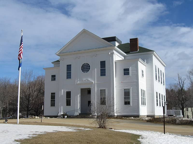 |
503 Province Road, Gilmanton, NH 03237 | (603)-267-6700 | |
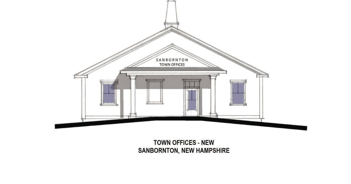 |
PO Box 124, Sanbornton, NH 03269 | (603)-729-8005 | |
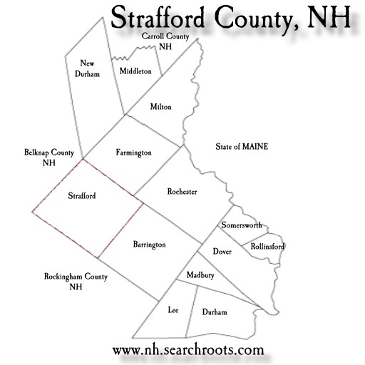 |
333 Calef Highway, Barrington, NH 03825 | (603)-664-9007 | |
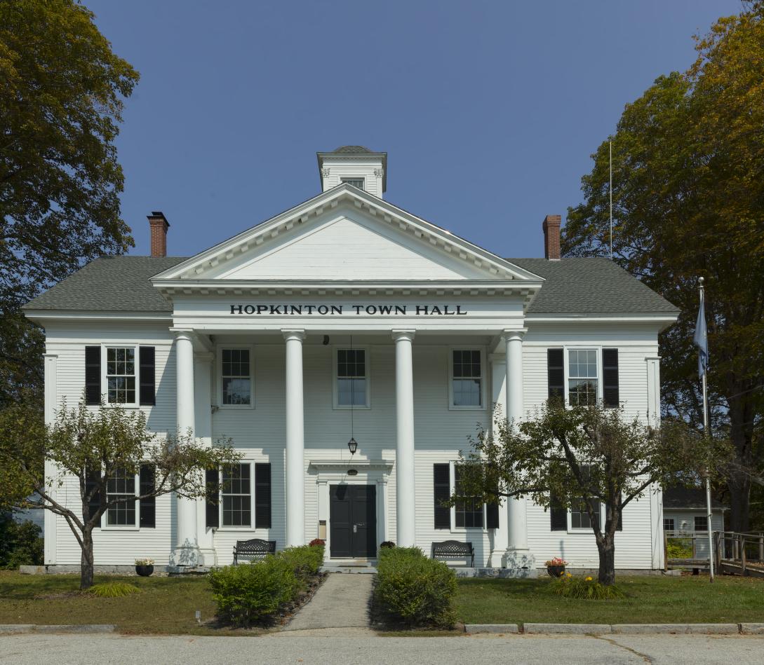 |
330 Main St., Hopkinton, NH 03229 | (603)-746-1005 | |
 |
Town of Plymouth Assessing Department Office of The Selectboard |
6 Post Office Square, Plymouth, NH 0326 | (603)-536-1731 |
The information provided on this website about U.S. States, Counties, and Cities, is compiled from publicly available sources and is made available “as is” for informational purposes only. No representations, warranties or guarantees are made as to the accuracy, adequacy, reliability, currentness, completeness, suitability or applicability of the information contained on this website for any particular purpose. All 3rd party trademarks are for reference purposes only. PublicRecords.com powered by Intelius is a privately owned website and is not a direct source of government records or services and not affiliated with any government agency.
Compiled by: Chris E. | Reviewed by: Blake A. | Last update: 03/13/24
New Hampshire has a variety of permits and inspections records that are accessible to anyone. These records encompass a wide range of data allowing individuals to access and review available information online. Records can include but are not limited to, permit status, building permits by address, and other building permit database information. We compile our resource lists from reliable government agencies to ensure ease in your search.
If you couldn't find the resource you were searching for, go to the New Hampshire Legal and Government Records page for other public records resources. Looking for something other than legal and governement records in New Hampshire? Search the database of all public records available.
Visit our Contact Us page to report any issues.
Use the citation tool to easily create a properly formatted citation or reference. Select the format you’d like to use and copy the link from the screen below.
The information provided on this website about U.S. States, Counties, and Cities, is compiled from publicly available sources and is made available “as is” for informational purposes only. No representations, warranties or guarantees are made as to the accuracy, adequacy, reliability, currentness, completeness, suitability or applicability of the information contained on this website for any particular purpose. All 3rd party trademarks are for reference purposes only. PublicRecords.com powered by Intelius is a privately owned website and is not a direct source of government records or services and not affiliated with any government agency.
This site contains REAL public records data including criminal records, background reports, photos, court documents, address information, phone numbers, civil judgments, properties owned, social media profiles, and much more.
PublicRecords.com powered by Intelius does not provide consumer reports and is not a consumer reporting agency under the Fair Credit Reporting Act. We provide information (criminal record, address, phone number, property, civil judgment, and more) that can be used to satisfy your curiosity, protect your family, and find the truth about people in your life. To use our site you must certify below that you agree to our Privacy Policy and Terms of Use and will NOT use our site or the information we provide:


