
Conduct a GIS records search in North Dakota using our GIS records resources.
View our GIS records resources for the state of North Dakota. Use these GIS records to search for land ownership maps, cadastral maps, or property line maps. GIS records may contain GIS property search records, property ownership maps, and other public GIS record information.

| County | Resource | Details |
|---|---|---|
|
Search and browse interactive and static maps of North Dakota including historical imagery, floodplains, traffic, Legislative districts, boundaries, weed infestations, water permits, oil fields, rig locations, and wells. |
||
| mountrail county |
View Mountrail County GIS maps including parcel search by owner name, address or parcel number. |
|
| mountrail county |
Explore interactive GIS maps of Mountrail County, ND, for detailed property and land-use information, provided by the North Dakota State Parcel Program. |
|
| mountrail county |
Dive into Mountrail County's GIS data through our ArcGIS Online platform. Utilize our comprehensive datasets and tools to create your own analyses and insights. |
|
| mountrail county |
Explore Mountrail County's GIS maps for detailed property and tax equalization information. Access the North Dakota State Parcel Program and other resources. |
|
| mountrail county |
Explore Mountrail County's GIS resources for up-to-date parcel and property owner information. Access maps, applications, and county-related documents. |
|
| mckenzie county |
Explore and download GIS data for McKenzie County, ND. Contact Bonnie Foster, GIS Coordinator, at 701-444-7177 for assistance with specialized geographic information systems. |
|
| mckenzie county |
Discover the enhanced mapping capabilities and new features of McKenzie County's GIS department, providing the public with advanced tools for geographic information and analysis. |
|
| mckenzie county |
Explore the McKenzie County Interactive GIS Map for detailed information on roads, infrastructure, and more. Stay updated as the City collaborates with the County to enhance map features. |
|
| mckenzie county |
Explore McKenzie County, ND GIS plat maps for detailed property and land ownership information, including parcel numbers and acreage. Access is free and online. |
|
| mckenzie county |
Explore detailed property boundaries and GIS data for McKenzie County, ND, with Regrid.com. Ideal for developers, government, and community projects. |
|
| williams county |
View Williams County maps including voter precincts, school districts, fire districts, zoning, and road maps. |
|
| ward county |
View Ward County flood maps by flood gauge location area. |
|
| ward county |
View various maps of Ward County including school, fire, and ambulance district maps. |
|
| walsh county |
View Walsh County voter and election information including voting district and precinct maps. |
|
| traill county |
Search Traill County property tax and assessment records using interactive mapping application. Search by parcel number, address, or owner name. |
|
| stark county |
View Stark County current voting precinct maps |
|
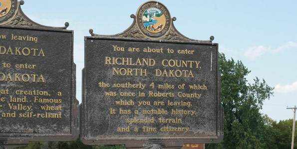
| richland county |
Search Richland County property tax and assessment records using interactive GIS mapping application. Search by owner name, address, or parcel ID. |
|
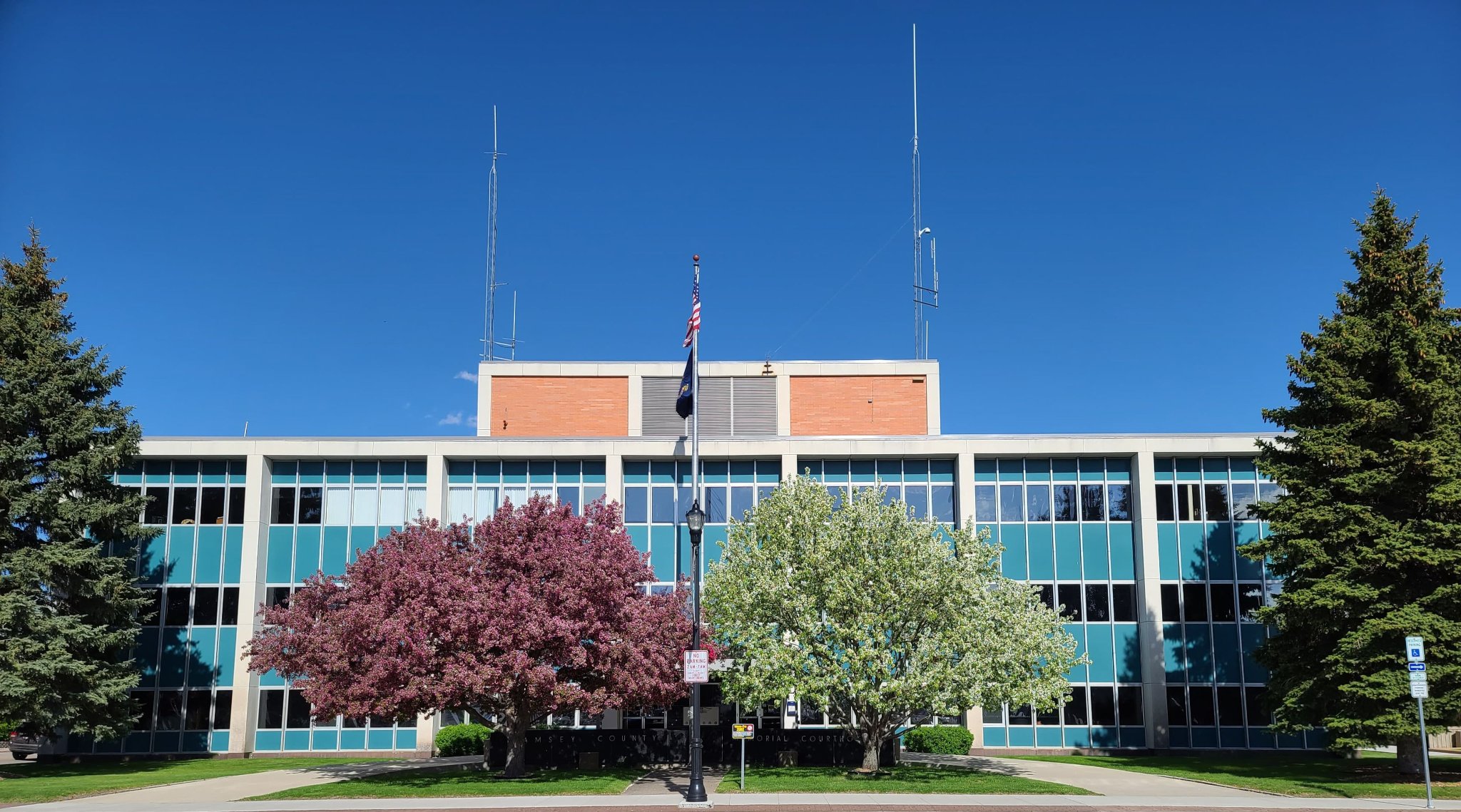
| ramsey county |
Search Ramsey County property tax and assessment records using GIS mapping application by parcel ID, owner name, or subdivision. |
|
| morton county |
View Morton County GIS maps such as voting precincts, floodplains, school districts, elevations, zoning districts, and survey monuments, including interactive map for property tax and assessment records. |
|
| morton county |
View a map of Morton County voting precincts. |
|
| mchenry county |
View McHenry County maps including county road system map, bridge inspection map and county load restrictions map. |
|
| griggs county |
View interactive aerial map of Griggs County townships. |
|
| grand forks county |
Search and view the City of Grand Forks GIS maps including interactive, static, and data files such as flood plains, zoning, voting precincts, schools, aerial photos, and more. |
|
| golden valley county |
View Golden Valley County GIS maps including parcel search. |
|
| dunn county |
View maps of Dunn County voting precincts and district maps. |
|
| cavalier county |
View Cavalier County GIS maps including parcel search by owner name or parcel number. |
|
| cass county |
Search interactive GIS map of the City of Fargo for property information, schools, FEMA flood information, and aerial photographs. Search by PIN, subdivision name, or address. |
|
| cass county |
Search and view Cass County recorded subdivision plats by plat name including Auditor's lot search. |
|
| burleigh county |
View a gallery of the City of Bismarck maps including flood zones, streets, zoning, trails, and voting precincts. |
|
| burleigh county |
Search the City of Bismarck library databases including archived newspapers and magazines, consumer health, historical photos, maps, and genealogy resources. A Bismarck Public Library card number and PIN are required to access these databases. |
|
| burleigh county |
View the City of Bismarck survey and property information including GPS survey control data and benchmark book. |
|
| burke county |
View Burke County GIS maps including parcel search by owner name, address or parcel number. |
The information provided on this website about U.S. States, Counties, and Cities, is compiled from publicly available sources and is made available “as is” for informational purposes only. No representations, warranties or guarantees are made as to the accuracy, adequacy, reliability, currentness, completeness, suitability or applicability of the information contained on this website for any particular purpose. All 3rd party trademarks are for reference purposes only. PublicRecords.com powered by Intelius is a privately owned website and is not a direct source of government records or services and not affiliated with any government agency.
Below, you will find a list of offices in North Dakota that may hold GIS maps. When requesting GIS records from these offices, it's important to be aware of any procedures, requirements, and fees associated with obtaining the records. Contacting the respective office directly will provide you with the most accurate and up-to-date information regarding access to GIS records in North Dakota.
| Image | Office | Address | Phone |
|---|---|---|---|
 |
114 W Caledonia, PO Box 745, Hillsboro, ND 58045 | (701)-636-5950 | |
 |
418 2nd Ave. North, Wahpeton ND 58075 | (701)-642-7700 | |
 |
524 4th Avenue NE Unit 7, 1st Floor Devils Lake, ND 58301 | (701)-662-7012 |
The information provided on this website about U.S. States, Counties, and Cities, is compiled from publicly available sources and is made available “as is” for informational purposes only. No representations, warranties or guarantees are made as to the accuracy, adequacy, reliability, currentness, completeness, suitability or applicability of the information contained on this website for any particular purpose. All 3rd party trademarks are for reference purposes only. PublicRecords.com powered by Intelius is a privately owned website and is not a direct source of government records or services and not affiliated with any government agency.
Compiled by: Chris E. | Reviewed by: Blake A. | Last update: 03/13/24
North Dakota has a variety of GIS records that are accessible to anyone. These records encompass a wide range of data allowing individuals to access and review available information online. Records can include but are not limited to, land ownership maps, property lines maps, and cadastral mapping information. We compile our resource lists from reliable government agencies to ensure ease in your search.
If you couldn't find the resource you were searching for, go to the North Dakota Property & Land Records page for other public records resources. Looking for something other than property and land tax records in North Dakota? Search the database of all public records available.
Visit our Contact Us page to report any issues.
Use the citation tool to easily create a properly formatted citation or reference. Select the format you’d like to use and copy the link from the screen below.
The information provided on this website about U.S. States, Counties, and Cities, is compiled from publicly available sources and is made available “as is” for informational purposes only. No representations, warranties or guarantees are made as to the accuracy, adequacy, reliability, currentness, completeness, suitability or applicability of the information contained on this website for any particular purpose. All 3rd party trademarks are for reference purposes only. PublicRecords.com powered by Intelius is a privately owned website and is not a direct source of government records or services and not affiliated with any government agency.
This site contains REAL public records data including criminal records, background reports, photos, court documents, address information, phone numbers, civil judgments, properties owned, social media profiles, and much more.
PublicRecords.com powered by Intelius does not provide consumer reports and is not a consumer reporting agency under the Fair Credit Reporting Act. We provide information (criminal record, address, phone number, property, civil judgment, and more) that can be used to satisfy your curiosity, protect your family, and find the truth about people in your life. To use our site you must certify below that you agree to our Privacy Policy and Terms of Use and will NOT use our site or the information we provide:


