
Conduct a GIS records search in Rhode Island using our GIS records resources.
View our GIS records resources for the state of Rhode Island. Use these GIS records to search for land ownership maps, cadastral maps, or property line maps. GIS records may contain GIS property search records, property ownership maps, and other public GIS record information.

| County | Resource | Details |
|---|---|---|
|
View Rhode Island GIS maps including political boundaries, environmental maps, aerial photography, water features, and other maps. |
||
| washington county |
View the Town of Narragansett GIS maps including land use, zoning, flood hazards, soil, wetlands and Tax Assessor's plat maps. |
|
| washington county |
View Town of South Kingstown maps including aerial photos, voting districts, open space, zoning districts, and FEMA flood zones. |
|
| washington county |
View the Town of Charlestown FEMA flood maps and floodplain information. |
|
| washington county |
View Town of Narragansett voter and election information including town voting district map with polling places. |
|
| washington county |
View Town of Richmond GIS maps including aerial photo layer, zoning layer, wetland layers, and other layers. |
|
| washington county |
View Town of Richmond maps including historical maps and plat zoning maps, |
|
| washington county |
View Town of South Kingstown link to voter and election information including map of Town of South Kingstown voting district and list of current polling locations. |
|
| washington county |
View the Town of Westerly flood insurance maps by map number. |
|
| washington county |
View the Town of Charlestown voter and election information including voting district map and list of current polling locations. |
|
| providence county |
View the City of Central Falls plat and lot maps. |
|
| providence county |
Search the City of Cranston crime incident map by address and date range. |
|
| providence county |
Search the City of Cranston GIS map for property assessment records. Search by property ID, owner name, or address. |
|
| providence county |
Search the City of Cranston library databases including genealogy resources, magazine and journal articles, newspapers, local news and events, maps, consumer information, and general reference materials. A Cranston Public Library card is required to access these resources. |
|
| providence county |
View the City of Cranston 2015 tax roll and 2015 tax maps by plat and section. |
|
| providence county |
View maps of the City of Cranston voting wards and districts, and locate elected officials and various city maps. |
|
| providence county |
View City of East Providence GIS maps including aerial maps. |
|
| providence county |
Search the City of Woonsocket library databases including genealogy resources, archived newspapers, digital Sanborn maps, local news and events, and general reference materials. A Woonsocket Harris Public Library card is required to access these resources. |
|
| providence county |
View the City of Woonsocket voting district map and information about voter registration, voter ID requirements, sample ballot, and upcoming elections. |
|
| providence county |
View Town of Cumberland GIS maps |
|
| providence county |
View the Town of Glocester GIS plat maps by map number. |
|
| providence county |
View Town of Johnston GIS maps. |
|
| providence county |
View the Town of Johnston plat maps by number. |
|
| providence county |
View Town of North Providence GIS maps including tax plat maps, zoning maps, voting district map, and other maps. |
|
| providence county |
View the Town of North Providence plat map listing by number. |
|
| newport county |
View City of Newport floodplain information including floodplain maps. |
|
| newport county |
View City of Newport plat maps including plat and lot numbers by street. |
|
| newport county |
View the Town of Portsmouth plat maps by number by map number. |
|
| newport county |
View Town of Portsmouth voter and election information including precinct map and polling locations. |
|
| newport county |
Search the Town of Tiverton property plat maps by map number. |
|
| kent county |
View the Town of Coventry GIS maps including voting districts, polling locations, zoning, census and evacuation routes. |
|
| kent county |
Search the Town of Coventry GIS map for property sale and assessment records. Search by owner name, address, or parcel ID. Map also provides zoning districts, political boundaries, and wetlands. |
|
| kent county |
View various maps of the Town of West Warwick including street index, zoning, voting districts, and voting wards. |
|
| kent county |
View various maps of City of Warwick including FEMA flood maps, district maps, traffic maps, plat maps, ward maps, and other maps. |
|
| kent county |
View Town of West Greenwich floodplain information including floodplain maps. |
|
| kent county |
View Town of West Greenwich Assessor's plat maps by map number. |
|
| kent county |
Search the Town of West Warwick crime incident map by address. |
|
| bristol county |
View various maps of the Town of Bristol, including wetlands and floodplains, planning, open space, and evacuation maps. |
|
| bristol county |
View various maps of the Town of Warren, including plat, zoning, FEMA flood, tax, and voting district maps. |
The information provided on this website about U.S. States, Counties, and Cities, is compiled from publicly available sources and is made available “as is” for informational purposes only. No representations, warranties or guarantees are made as to the accuracy, adequacy, reliability, currentness, completeness, suitability or applicability of the information contained on this website for any particular purpose. All 3rd party trademarks are for reference purposes only. PublicRecords.com powered by Intelius is a privately owned website and is not a direct source of government records or services and not affiliated with any government agency.
Below, you will find a list of offices in Rhode Island that may hold GIS maps. When requesting GIS records from these offices, it's important to be aware of any procedures, requirements, and fees associated with obtaining the records. Contacting the respective office directly will provide you with the most accurate and up-to-date information regarding access to GIS records in Rhode Island.
| Image | Office | Address | Phone |
|---|---|---|---|
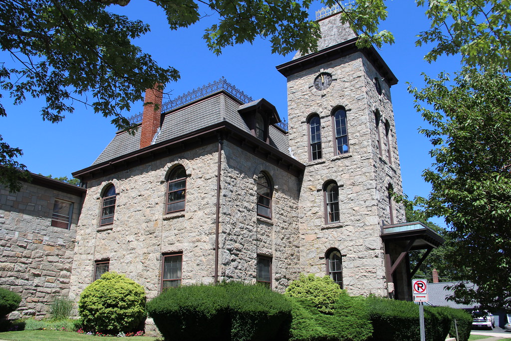 |
Town of South Kingstown Town Clerk South Kingstown Town Hall |
180 High Street, Wakefield, RI 02879 | (401)-789-9331 |
The information provided on this website about U.S. States, Counties, and Cities, is compiled from publicly available sources and is made available “as is” for informational purposes only. No representations, warranties or guarantees are made as to the accuracy, adequacy, reliability, currentness, completeness, suitability or applicability of the information contained on this website for any particular purpose. All 3rd party trademarks are for reference purposes only. PublicRecords.com powered by Intelius is a privately owned website and is not a direct source of government records or services and not affiliated with any government agency.
Compiled by: Chris E. | Reviewed by: Blake A. | Last update: 03/13/24
Rhode Island has a variety of GIS records that are accessible to anyone. These records encompass a wide range of data allowing individuals to access and review available information online. Records can include but are not limited to, land ownership maps, property lines maps, and cadastral mapping information. We compile our resource lists from reliable government agencies to ensure ease in your search.
If you couldn't find the resource you were searching for, go to the Rhode Island Property & Land Records page for other public records resources. Looking for something other than property and land tax records in Rhode Island? Search the database of all public records available.
Visit our Contact Us page to report any issues.
Use the citation tool to easily create a properly formatted citation or reference. Select the format you’d like to use and copy the link from the screen below.
The information provided on this website about U.S. States, Counties, and Cities, is compiled from publicly available sources and is made available “as is” for informational purposes only. No representations, warranties or guarantees are made as to the accuracy, adequacy, reliability, currentness, completeness, suitability or applicability of the information contained on this website for any particular purpose. All 3rd party trademarks are for reference purposes only. PublicRecords.com powered by Intelius is a privately owned website and is not a direct source of government records or services and not affiliated with any government agency.
This site contains REAL public records data including criminal records, background reports, photos, court documents, address information, phone numbers, civil judgments, properties owned, social media profiles, and much more.
PublicRecords.com powered by Intelius does not provide consumer reports and is not a consumer reporting agency under the Fair Credit Reporting Act. We provide information (criminal record, address, phone number, property, civil judgment, and more) that can be used to satisfy your curiosity, protect your family, and find the truth about people in your life. To use our site you must certify below that you agree to our Privacy Policy and Terms of Use and will NOT use our site or the information we provide:


