
Conduct a GIS records search in South Carolina using our GIS records resources.
View our GIS records resources for the state of South Carolina. Use these GIS records to search for land ownership maps, cadastral maps, or property line maps. GIS records may contain GIS property search records, property ownership maps, and other public GIS record information.

| County | Resource | Details |
|---|---|---|
|
Search for registered South Carolina underground storage tanks and facilities. |
||
| darlington county |
Search Darlington County property sales, assessments, and interactive parcel map by owner name, parcel number or address. |
|
| darlington county |
Explore interactive GIS maps of Darlington County, South Carolina, for detailed property and geographical information. |
|
| darlington county |
Darlington County GIS Maps - Property & Ordinance Information |
Explore Darlington County's GIS maps for detailed property information and local ordinances to ensure compliance before initiating land-based projects in South Carolina. |
| darlington county |
Explore Darlington County's comprehensive GIS maps and data layers, including detailed road networks and address points, managed by the Planning Department for effective county development and planning. |
|
| darlington county |
Darlington County GIS Maps - Property Information & Resources |
Explore Darlington County's GIS maps for detailed property information, including boundaries, zoning, and more. Access maps, application forms, and valuable property data provided by the Darlington County Assessor's Office. |
| darlington county |
Darlington County GIS Maps - South Carolina Mapping & GIS Resources |
Explore Darlington County's property records with NETROnline's GIS Mapping Application, offering an intuitive interface for accessing both contemporary and historical land data in a geographic context. |
| darlington county |
Explore comprehensive land parcel data in Darlington County, SC. Our interactive GIS map provides full property boundaries and detailed information for each parcel. |
|
| darlington county |
Discover the roles and services provided by the Register of Deeds in Darlington, SC. Contact information: Phone: 843-398-4100, Fax: 843-393-8539. Office hours: 8:30 AM to 5:00 PM. |
|
| darlington county |
Explore Darlington County's Register of Deeds for property records and other legal documents. Ensure accurate and up-to-date information for your searches. |
|
| darlington county |
Explore Darlington County's official resources including Register of Deeds, property tax payments, council meeting minutes, job openings, and more. |
|
| darlington county |
Discover how to record real estate documents in Darlington County, SC, and find all necessary information at the Register of Deeds office. |
|
| darlington county |
Explore Darlington County's official records for property taxes, deeds, and other public documents. Start your search with Darlington County's comprehensive public records database. |
|
| oconee county |
Search Oconee County recorded documents, including deeds, mortgages, tax liens, and plats by name, document type or date range. |
|
| oconee county |
Oconee County Register of Deeds - Property Records & Services |
Explore Oconee County's Register of Deeds for property records, deed indexes, and more. Access online services for tax payments, job searches, and permit applications. |
| oconee county |
Explore Oconee County's official records for property information. Conduct searches by location address or owner name through the Register of Deeds. |
|
| oconee county |
Oconee County SC Register of Deeds - Recording & Public Records |
Discover how the Oconee County Register of Deeds in South Carolina efficiently records and maintains legal documents, ensuring they are part of the public record for property and real estate transactions. |
| oconee county |
Explore the Oconee County Register of Deeds for property records, deeds, and legal documents. Find resources including the ROD manual, solicitors, and public defenders. |
|
| hampton county |
Search Hampton County property assessment records by owner name, parcel number or address including property sales history and parcel maps available with a paid subscription. |
|
| hampton county |
Hampton County Register of Deeds | Land Records & Transactions |
Explore Hampton County's official Register of Deeds for all land-related documents, including deeds, titles, mortgages, and satisfactions. |
| hampton county |
Hampton County Register of Deeds | Official Records & Public Index |
Explore Hampton County's Register of Deeds for public records, access the public index, and find essential contact information for inquiries. |
| hampton county |
Hampton County SC Register of Deeds | Official Records Access |
Explore Hampton County's Register of Deeds for property and land records in South Carolina. Access judicial records and other public documents through our official portal. |
| hampton county |
Hampton County, SC Register of Deeds - Property Records Search |
Search for recorded real estate documents in Hampton County, SC, including deeds, mortgages, and land records, through the official county register. |
| hampton county |
Hampton County Register of Deeds | Land Records Services - SC |
The Hampton County Register of Deeds Office in South Carolina ensures the proper recording and preservation of documents related to land transactions. Contact us at 29924 Phone: 803-914-2100, Fax: 803-914-2107 for assistance. |
| hampton county |
Hampton County SC Register of Deeds - Property Records & Info |
Explore Hampton County, SC property records, access property tax information, and connect with the Register of Deeds for official documents. Call 803-914-2250 or visit online. |
| hampton county |
Explore Hampton County's GIS Mapping Web Site for detailed property information, and learn about the Assessor's role in real property assessments for legal residence and agricultural benefits. |
|
| hampton county |
Explore Hampton County SC GIS data with instant downloads of parcel geometries and associated records. Test features in the API Sandbox for comprehensive mapping solutions. |
|
| hampton county |
Hampton County SC GIS - Property Information & Assessor's Office |
Explore GIS data and property information in Hampton County, SC, through the official portal provided by the Tax Assessor's Office. Contact Assessor Randy Waite for assistance. |
| hampton county |
Explore Hampton County SC GIS for detailed parcel data and maps. Managed by Adam DeMars, SC State GIS Coordinator, and hosted on ESRI's platform. |
|
| cherokee county |
Search parcels and interactive GIS maps of Cherokee County. |
|
| cherokee county |
Visit the Cherokee County Register of Deeds for property records and legal documents. Located at 110 Railroad Ave, Gaffney, SC. Open Mon-Fri, 8:30 AM - 5 PM. Contact us at 864-487-2575 or email Chris Parker, Register of Deeds. |
|
| cherokee county |
Ensure your documents meet Cherokee County's recording criteria. Complete all sections, excluding book and page, and include recording date and prior grantor's name. |
|
| cherokee county |
Cherokee County SC Register of Deeds - Official Records & Documents |
Explore the Cherokee County Register of Deeds for property records, deeds, and other official documents. Find resources including a site map, alphabetical list, county map, and contact information for related offices. |
| cherokee county |
Explore the Cherokee County Register of Deeds for eRecording services, fee schedules, document indexing, forms, and more. Ensure secure transactions with official records in South Carolina. |
|
| cherokee county |
Cherokee County SC Register of Deeds â Land & Vital Records |
The Cherokee County Register of Deeds in SC is responsible for recording land records and maintaining vital records. Office hours are from 8:00 AM to 4:30 PM. Find directions, quick links, and remote access information on the official website. |
| cherokee county |
Cherokee County SC Register of Deeds - Recording Services & Fees |
Find the latest recording fees and document services provided by the Cherokee County Register of Deeds in South Carolina, including deeds, agreements, easements, leases, mortgages, and more. |
| york county |
View the City of Rock Hill crime incident map and crime analysis report. |
|
| york county |
Search York County property tax and assessment records through GIS mapping. |
|
| york county |
View City of Rock Hill floodplain management information including flood zone map search. |
|
| horry county |
Search and view interactive and static GIS maps of Horry County, including real property, street, Council districts, and voting precincts. |
|
| horry county |
View Horry County voting precinct maps. |
|
| horry county |
View Horry County Police Department's 48 hour crime analysis map. |
|
| horry county |
Search for Horry County historical cemeteries through interactive GIS mapping. |
|
| horry county |
View Horry County maps including land use maps, future land use maps, and other maps. |
|
| greenville county |
View various static maps of the City of Greenville, including annexation, street index, Council districts, future land use, zoning, police beats, and cemetery index maps. |
|
| greenville county |
View Greenville County Council redistricting map. |
|
| greenville county |
Search interactive GIS maps of the City of Greenville, including historic aerial photography, addresses, property and zoning information, Capital Improvement Program, and cemetery burial records with subscription. |
|
| greenville county |
View Greenville County flood plain information including flood maps. |
|
| greenville county |
View the City of Greenville neighborhood maps by name of neighborhood. |
|
| greenville county |
View Greenville County historical maps by year and sheet number. |
|
| barnwell county |
Search Barnwell County property tax and assessment records by name, parcel number, or address. Property sales and map searches are available with a paid subscription. |
|
| barnwell county |
View Barnwell County zoning maps, land development regulations, and zoning ordinances. |
|
| williamsburg county |
Search Williamsburg County property records through GIS mapping. |
|
| union county |
View various GIS maps of Union County, including Council districts, school districts, and voting precincts. |
|
| union county |
View Union County voter registration and election information including voting district maps. |
|
| union county |
Search Union County property tax and assessment records by owner name, parcel number or address including sales search and parcel maps. |
|
| spartanburg county |
Search Spartanburg County crime incident map by date range and keywords. |
|
| spartanburg county |
Search Spartanburg County property assessments by owner name, parcel number, account number or address including sales records search and parcel maps. |
|
| saluda county |
Search Saluda County property tax records by tax map number through GIS maps. |
|
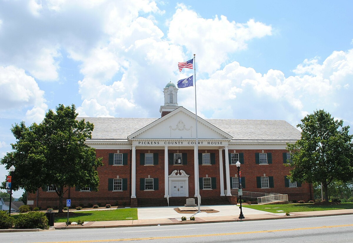
| pickens county |
View various static maps of Pickens County, including road, Council districts, and recycling maps. |
|
| pickens county |
Search Pickens County property assessments, sales history, and parcel maps. |
|
| orangeburg county |
View Orangeburg County voting precincts and polling locations including maps. |
|
| orangeburg county |
Search Orangeburg County property tax records through GIS mapping. |
|
| newberry county |
View Newberry County voter registration and election information including maps and absentee voting information. |
|
| newberry county |
Search Newberry County property sales and assessment records by owner name, parcel number, account number or address including sales search and GIS maps. |
|
| mccormick county |
Search McCormick County property tax and assessment records through GIS mapping. |
|
| lee county |
Search Lee County property assessment records by name, parcel number or address including sales history search and parcel maps with paid subscription. |
|
| laurens county |
Search Laurens County property tax and assessment records through GIS mapping. |
|
| lancaster county |
Search Lancaster County property assessments by owner name, parcel number, account number or address including sales history search and parcel maps. |
|
| kershaw county |
View various static GIS maps of Kershaw County, including census, Council district, FEMA flood, and voting precinct maps. |
|
| kershaw county |
Search Kershaw County property assessments through GIS maps. |
|
| jasper county |
Search Jasper County property assessment records by owner name, parcel number or address including sales history and parcel maps with a paid subscription. |
|
| greenwood county |
Search Greenwood County property assessment, tax, and deed records through GIS mapping. |
|
| georgetown county |
Search Georgetown County real property records by owner name, parcel number, address or account number including sales search and GIS maps. |
|
| fairfield county |
Search Fairfield County property tax assessments by owner name, parcel number, address or GIS map including sales search. |
|
| colleton county |
Search interactive Colleton County GIS map for property tax and assessment records. Search by TMS number or address. Map also provides soils, wetlands, aerial imagery, topography, and points of interest. |
|
| calhoun county |
Search Calhoun County property assessment records by parcel number, owner name, or parcel address through GIS maps. |
|
| aiken county |
Search Aiken County property assessment records and parcel maps by address or parcel number. Comparable sales and property cards are also available with a free subscription. |
|
| abbeville county |
Search Abbeville County property tax parcels through GIS mapping. |
|
| richland county |
View the City of Columbia Council District maps. |
|
| marion county |
View Marion County Council district and precinct map. |
|
| edgefield county |
View redistricting map for Edgefield County Council seats. |
|
| charleston county |
View various GIS maps of the City of Charleston, including census, interactive parking, Council, city limits, redistricting, and zoning maps. |
|
| charleston county |
View Charleston County Council redistricting maps. |
|
| charleston county |
View Charleston County voting precincts and polling locations through GIS maps. |
The information provided on this website about U.S. States, Counties, and Cities, is compiled from publicly available sources and is made available “as is” for informational purposes only. No representations, warranties or guarantees are made as to the accuracy, adequacy, reliability, currentness, completeness, suitability or applicability of the information contained on this website for any particular purpose. All 3rd party trademarks are for reference purposes only. PublicRecords.com powered by Intelius is a privately owned website and is not a direct source of government records or services and not affiliated with any government agency.
Below, you will find a list of offices in South Carolina that may hold GIS maps. When requesting GIS records from these offices, it's important to be aware of any procedures, requirements, and fees associated with obtaining the records. Contacting the respective office directly will provide you with the most accurate and up-to-date information regarding access to GIS records in South Carolina.
| Image | Office | Address | Phone |
|---|---|---|---|
 |
101 N. Main St., Lancaster, SC 29720 | (803)-285-6964 | |
 |
203 North Herndon, Union, SC 29379 | (864)-429-1650 | |
 |
222 McDaniel Avenue, B-8, Pickens, SC 29671 | (864)-898-5871 | |
 |
901 West Greenwood St., Suite 2200, Abbeville, SC 29620 | (864)-366-5312 | |
 |
1512 Martin Street, Newberry, SC 29108 | (803)-321-2125 | |
 |
133 South Mine St., Room 201, McCormick, SC 29835 | (864)-852-2931 | |
 |
123 South Main Street, Bishopville, SC 29010 | (803)-484-5341 | |
 |
Kershaw County Assessor Kershaw County Government Center, Room |
515 Walnut St., Camden, SC 29020 | (803)-425-1523 |
 |
201 Jackson Avenue West, Hampton, SC 29924 | (803)-914-2090 | |
 |
129 Screven St., Georgetown, SC 29442 | (843)-545-3017 | |
 |
Barnwell County Assessor Barnwell County Administration Building |
57 Wall St # 221, Barnwell, SC 29812 | (803)-541-1011 |
The information provided on this website about U.S. States, Counties, and Cities, is compiled from publicly available sources and is made available “as is” for informational purposes only. No representations, warranties or guarantees are made as to the accuracy, adequacy, reliability, currentness, completeness, suitability or applicability of the information contained on this website for any particular purpose. All 3rd party trademarks are for reference purposes only. PublicRecords.com powered by Intelius is a privately owned website and is not a direct source of government records or services and not affiliated with any government agency.
Compiled by: Chris E. | Reviewed by: Blake A. | Last update: 03/13/24
South Carolina has a variety of GIS records that are accessible to anyone. These records encompass a wide range of data allowing individuals to access and review available information online. Records can include but are not limited to, land ownership maps, property lines maps, and cadastral mapping information. We compile our resource lists from reliable government agencies to ensure ease in your search.
If you couldn't find the resource you were searching for, go to the South Carolina Property & Land Records page for other public records resources. Looking for something other than property and land tax records in South Carolina? Search the database of all public records available.
Visit our Contact Us page to report any issues.
Use the citation tool to easily create a properly formatted citation or reference. Select the format you’d like to use and copy the link from the screen below.
The information provided on this website about U.S. States, Counties, and Cities, is compiled from publicly available sources and is made available “as is” for informational purposes only. No representations, warranties or guarantees are made as to the accuracy, adequacy, reliability, currentness, completeness, suitability or applicability of the information contained on this website for any particular purpose. All 3rd party trademarks are for reference purposes only. PublicRecords.com powered by Intelius is a privately owned website and is not a direct source of government records or services and not affiliated with any government agency.
This site contains REAL public records data including criminal records, background reports, photos, court documents, address information, phone numbers, civil judgments, properties owned, social media profiles, and much more.
PublicRecords.com powered by Intelius does not provide consumer reports and is not a consumer reporting agency under the Fair Credit Reporting Act. We provide information (criminal record, address, phone number, property, civil judgment, and more) that can be used to satisfy your curiosity, protect your family, and find the truth about people in your life. To use our site you must certify below that you agree to our Privacy Policy and Terms of Use and will NOT use our site or the information we provide:


