
Conduct a GIS records search in South Dakota using our GIS records resources.
View our GIS records resources for the state of South Dakota. Use these GIS records to search for land ownership maps, cadastral maps, or property line maps. GIS records may contain GIS property search records, property ownership maps, and other public GIS record information.

| County | Resource | Details |
|---|---|---|
|
Search for South Dakota legislators by district, county, and city, or by using interactive map. |
||
|
Search South Dakota State Library databases including genealogy, historic maps, magazines, journals, newspapers, and general reference materials. |
||
|
Search for registered sex offenders living in South Dakota by name, county, city, or neighborhood. A map search by name and location is also available. |
||
| spink county |
Search Spink County property tax and assessment records by name, address, parcel ID, or search parcel map. |
|
| spink county |
Search for registered sex offenders living in South Dakota by name, county, city, or neighborhood. A map search by name and location is also available. |
|
| spink county |
Spink County Register of Deeds Office - Redfield, SD Official Services |
The Spink County Register of Deeds in Redfield, SD, is responsible for recording real estate transactions, maintaining vital records such as birth, death, and marriage certificates, issuing marriage licenses, and filing liens and mechanics' notices. |
| spink county |
Find contact information for Spink County Register of Deeds in South Dakota, including addresses and phone numbers for property record services. |
|
| spink county |
Spink County Register of Deeds Contact Information - Redfield, SD |
Find contact information for Spink County's Register of Deeds, Sonja Muellenberg, including address, phone number, and fax for property records and deeds in Redfield, SD. |
| spink county |
Spink County Recorder of Deeds - South Dakota Official Services |
Find Spink County, SD Recorder Office details, including deed and mortgage recording fees, transfer fees, and document handling specifics. Ensure your property records are officially filed. |
| spink county |
Locate the Spink County Register of Deeds office in South Dakota for property records, vital records, and other official public documents. |
|
| lawrence county |
Explore interactive maps and data with Lawrence County's GIS system, designed to provide detailed geographic information for residents and visitors. |
|
| lawrence county |
Explore Lawrence County, SD through interactive GIS mapping. Access detailed property parcel information and local geographic data. |
|
| lawrence county |
Explore Lawrence County's GIS maps and data with ease. Access a wealth of geographic information for planning, analysis, and decision-making. |
|
| lawrence county |
Lawrence County GIS Portal - Interactive Mapping & Property Info |
Explore interactive maps and access property information with the Lawrence County GIS Beacon portal provided by The Schneider Corporation. |
| lawrence county |
Lawrence County GIS Map | Explore Property Data in Spearfish, SD |
Explore Lawrence County's GIS map for detailed property information, including parcels and ownership data, in both Lawrence County and the City of Spearfish, SD. |
| lawrence county |
Explore interactive maps and find detailed information with the Lawrence County SD Geographic Information System (GIS). Access a wealth of spatial data for planning, analysis, and decision-making. |
|
| mccook county |
Search McCook County property tax and assessment records by name, address, or parcel ID, or search parcel map. |
|
| mccook county |
McCook County GIS Mapping - Beacon by The Schneider Corporation |
Explore McCook County's geographic information system (GIS) for detailed property maps, land records, and spatial data analysis provided by The Schneider Corporation's Beacon platform. |
| mccook county |
McCook County's GIS services provide detailed property assessments, ensuring accuracy and fairness in taxation, with staff certified by the South Dakota Department of Revenue. |
|
| mccook county |
Explore McCook County with our interactive GIS map, offering detailed property parcel information, various features, and a user-friendly quick search for residents. |
|
| mccook county |
Explore McCook County, SD with our detailed GIS plat map. Discover property boundaries, land ownership details, parcel numbers, and acreage data for free. |
|
| mccook county |
Explore McCook County with our detailed GIS maps. Find important calendar events and get up-to-date contact information for county services. |
|
| turner county |
Explore the Turner County Register of Deeds office in South Dakota for property records, vital records, and other official documents. Find office hours, location, FAQs, and fee information. |
|
| turner county |
Turner County SD Register of Deeds - Property Tax & Document Services |
For property tax information and document registration in Turner County, SD, schedule your appointment online or call (605) 773-6883. Visit the Register of Deeds for comprehensive services. |
| turner county |
Turner County Register of Deeds, SD - Property Records & Filing Info |
Find property record details, document filing instructions, and recording fee information for real estate in Turner County, South Dakota. |
| turner county |
Turner County SD Register of Deeds Office Contact Information |
Locate the Turner County Register of Deeds office in South Dakota for property records, deeds, and other official documents. Contact details: PO Box 485, Parker, SD, 57053-0485, Phone: 605-297-3443. |
| turner county |
Find contact information for Turner County Register of Deeds, Carol Viet, at PO Box 485, Parker, SD, and other South Dakota county registers for property records and deeds. |
|
| yankton county |
Search Yankton County property tax and assessment records by name, address, or parcel ID, or search parcel map. |
|
| yankton county |
Explore interactive GIS maps and access property tax records in Yankton County, SD, for detailed property and tax information. |
|
| yankton county |
Explore Yankton County's GIS maps for property assessments, maintained by certified staff in accordance with the South Dakota Department of Revenue's standards. |
|
| yankton county |
Explore and download Yankton County, SD GIS parcel data, including detailed property boundaries and associated records for comprehensive spatial analysis. |
|
| yankton county |
Yankton County GIS Interactive Map | Explore City Boundaries |
Explore Yankton County with our Interactive City Limits Map featuring all 2020 addresses, integrated with Esri World data for comprehensive GIS insights. |
| yankton county |
Utilize GIS technology for effective cemetery management in Yankton County, SD. Enhance service quality and operational efficiency for cemetery staff and clients. |
|
| perkins county |
Search Perkins County property tax and assessment records by name, address, parcel ID, and parcel map |
|
| perkins county |
Explore Perkins County's GIS services for detailed geographical data management and analysis, including interactive plat maps and spatial information. |
|
| perkins county |
Explore GIS maps and property information in Perkins County, SD. Contact the Assessor's office at 605-244-5623 or perkinscountydoe@gmail.com for assistance. |
|
| perkins county |
Explore Perkins County, SD's official website for GIS mapping, plat maps, township information, election details, and property tax relief options. |
|
| perkins county |
Explore detailed property boundaries and land ownership information in Perkins County, SD with our interactive GIS plat map. Discover parcel numbers, acreage, and more. |
|
| perkins county |
Explore the latest GIS data, maps, and photos for Perkins County, SD. Stay informed with up-to-date information on local geography and land use. |
|
| perkins county |
Discover the Perkins County Register of Deeds services in South Dakota, including the issuance of marriage licenses, birth and death certificates, burial permits, and the recording of real estate transactions. |
|
| perkins county |
The Perkins County Register of Deeds in Nebraska is responsible for recording and maintaining records related to real estate within the county. This includes managing documents such as property deeds, mortgages, and other legal instruments. |
|
| perkins county |
Perkins County SD Register of Deeds - Recording Fee Information |
Find out the costs for document recording in Perkins County, SD, including deeds and mortgages. Fees start at $30 for up to 50 pages, plus a transfer fee for certain deeds. |
| perkins county |
Discover property and land record services in Perkins County, SD. Contact Heidi at the Register of Deeds for recording deeds, mortgages, and more. |
|
| perkins county |
Explore the official Perkins County Register of Deeds in South Dakota for property records, deeds, and other official documents. Stay informed with the latest updates. |
|
| perkins county |
Find contact information for Perkins McCook County Register of Deeds in South Dakota, including addresses, phone numbers, and services provided. |
|
| perkins county |
Explore detailed parcel data for McCook County, SD, including the latest updates and matches with neighboring Perkins County. Last refreshed on 01/30/2024. |
|
| perkins county |
Explore Perkins township in McCook County, SD with our GIS interactive map. View detailed property parcel information, utilize advanced search functions, and access a variety of mapping tools. |
|
| aurora county |
View Aurora County genealogy records including obituaries, family histories, cemetery burials, war veterans, historic maps, and photos. |
|
| lincoln county |
View interactive and static GIS maps of Lincoln County including property, voting districts, zoning, floodplains, roads and district maps, watersheds, and legislative districts. |
|
| lincoln county |
View Lincoln County floodplain information including floodplain maps. |
|
| stanley county |
View a map of voting precincts in Stanley County. |
|
| brule county |
View various static GIS maps of Brule County including roads, polling areas, wards, and aerial maps. |
|
| brule county |
Search Brule County property tax and assessment records using interactive mapping application. Search by parcel ID, name, and address. |
|
| lyman county |
Search Lyman County property tax and assessment records using interactive mapping application. Search by parcel ID, name, or address. |
|
| lyman county |
View various static GIS maps of Lyman County including road, community and aerial maps. |
|
| brown county |
Search Brown County property tax and assessment records and parcel map with a paid subscription. |
|
| brown county |
Search Brown County crime incident map by address and date range. |
|
| brown county |
View Brown County common place maps including inset maps of populated places. |
|
| custer county |
Search Custer County property tax and assessment records by name, address, parcel ID, or search parcel map. |
|
| custer county |
View Custer County GIS map including map index. |
|
| corson county |
Search Corson County property tax and assessment records by name, address, parcel ID, or search parcel map. |
|
| brookings county |
View Brookings County voting precinct locations maps. |
|
| brookings county |
Search Brookings County property tax and assessment records by name, address, parcel ID, and parcel map. |
|
| brookings county |
View Brookings County area maps including community, lake and towship maps. |
|
| meade county |
View Meade County floodplain information including floodplain map. |
|
| meade county |
Search Meade County property tax and assessment records by name, address, or parcel ID including GIS map. |
|
| bon homme county |
View Bon Homme County genealogy records including census records, historic maps, newspaper articles, and cemetery burials. |
|
| fall river county |
View Fall River County voting precinct maps, information about absentee voting, voter registration, voter identification, and upcoming elections. |
|
| fall river county |
Search Fall River County property tax records by name, parcel number or property address through GIS maps |
|
| fall river county |
Search for registered sex offenders living in South Dakota by name, county, city, or neighborhood. A map search by name and location is also available. |
|
| hughes county |
Search the City of Pierre Riverside Cemetery burial records by name. Search results provide a map of burial locations. |
|
| oglala lakota county |
View Oglala Lakota County (formerly Shannon County) land ownership maps as of April 1, 2011. |
|
| union county |
Search Union County property tax and assessment records by name, address, or parcel ID, or search parcel map. |
|
| moody county |
Search Moody County property tax and assessment records by name, address, or parcel ID, or search parcel map. |
|
| grant county |
View Grant County subdivision ordinance, zoning ordinance and comprehensive plan maps. |
|
| grant county |
View Grant County commissioner district maps. |
|
| minnehaha county |
View Minnehaha County voting precinct maps and registered voter statistics, sorted by precinct and by legislative district. |
|
| minnehaha county |
View Minnehaha County floodplain information including floodplain maps. |
|
| minnehaha county |
Search interactive Minnehaha County GIS map to view property assessment information, school districts, aerial photos, topography, streets, flood plain areas, and aquifer boundaries. Search by address, parcel ID, map ID, or owner name. |
|
| minnehaha county |
View various GIS maps of the City of Sioux Falls including streets, Council districts, library locations, snow zones, and zip code maps. |
|
| minnehaha county |
Search the databases of Minnehaha County Siouxland Libraries including genealogy resources, newspapers and magazines, Sanborn Maps from 1870 to 1950, consumer information, and general reference materials. A valid library card is required to access these databases. |
|
| pennington county |
Search interactive City of Rapid City GIS maps including land parcels, aerial photos, address points, parks and recreation facilities, voting districts, and survey points. |
|
| pennington county |
View various maps of the City of Rapid City including construction and road, data grid, air quality control, flood zones, and voting precinct maps. |
|
| pennington county |
City of Rapid City Voting Precinct Map and Polling Locations |
View the City of Rapid City voting precinct map and list of polling locations. |
| pennington county |
View Pennington County voting district maps, legislative district maps, voter registration locations, and polling locations. |
|
| pennington county |
Search the City of Rapid City public library resources including genealogy resources, newspapers, magazines, consumer information, Sanborn historical maps, local news and events, and general reference materials. A valid library card is required to access these databases. |
|
| harding county |
Search Harding County property tax and assessment records by name, address, or parcel ID, or search parcel map. |
|
| clay county |
Search Clay County County property tax and assessment records by name, address, or parcel ID, or search parcel map. |
|
| lake county |
Search Lake County property tax payment records by address or parcel ID including GIS maps. |
|
| lake county |
View photos and map of registered sex offenders currently residing in Lake County. |
The information provided on this website about U.S. States, Counties, and Cities, is compiled from publicly available sources and is made available “as is” for informational purposes only. No representations, warranties or guarantees are made as to the accuracy, adequacy, reliability, currentness, completeness, suitability or applicability of the information contained on this website for any particular purpose. All 3rd party trademarks are for reference purposes only. PublicRecords.com powered by Intelius is a privately owned website and is not a direct source of government records or services and not affiliated with any government agency.
Below, you will find a list of offices in South Dakota that may hold GIS maps. When requesting GIS records from these offices, it's important to be aware of any procedures, requirements, and fees associated with obtaining the records. Contacting the respective office directly will provide you with the most accurate and up-to-date information regarding access to GIS records in South Dakota.
| Image | Office | Address | Phone |
|---|---|---|---|
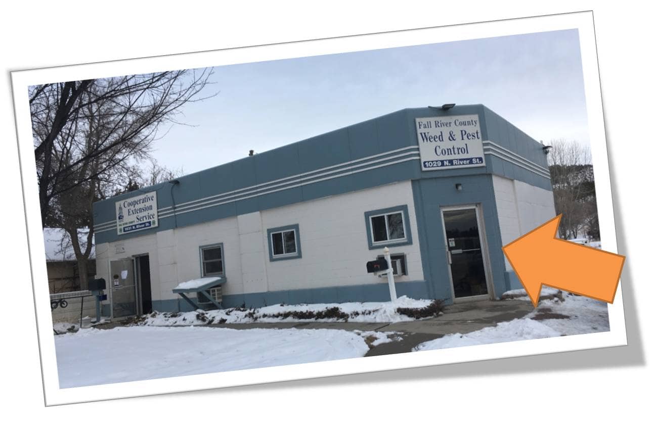 |
906 North River St., Hot Springs, SD 57747 | (605)-745-5136 | |
|
906 North River St., Hot Springs, SD 57747 | (605)-745-5136 | |
 |
101 E Pipestone Ave., Suite E, Flandreau, SD 57028 | (605)-997-3101 | |
 |
209 East Main St., Suite 130, Elk Point, SD 57025 | (605)-356-2252 | |
 |
1300 Sherman Street, Suite 222, Sturgis, SD 57785 | (605)-347-3818 | |
 |
420 Mt. Rushmore Rd., Custer, SD 57730 | (605)-673-8170 | |
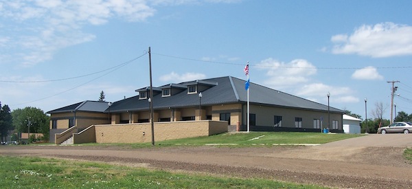 |
108 1st Street East, P.O. Box 258, McIntosh, SD 57641 | (605)-273-4348 | |
.jpg) |
25 Market St., Aberdeen, SD 57401 | (605)-626-7105 | |
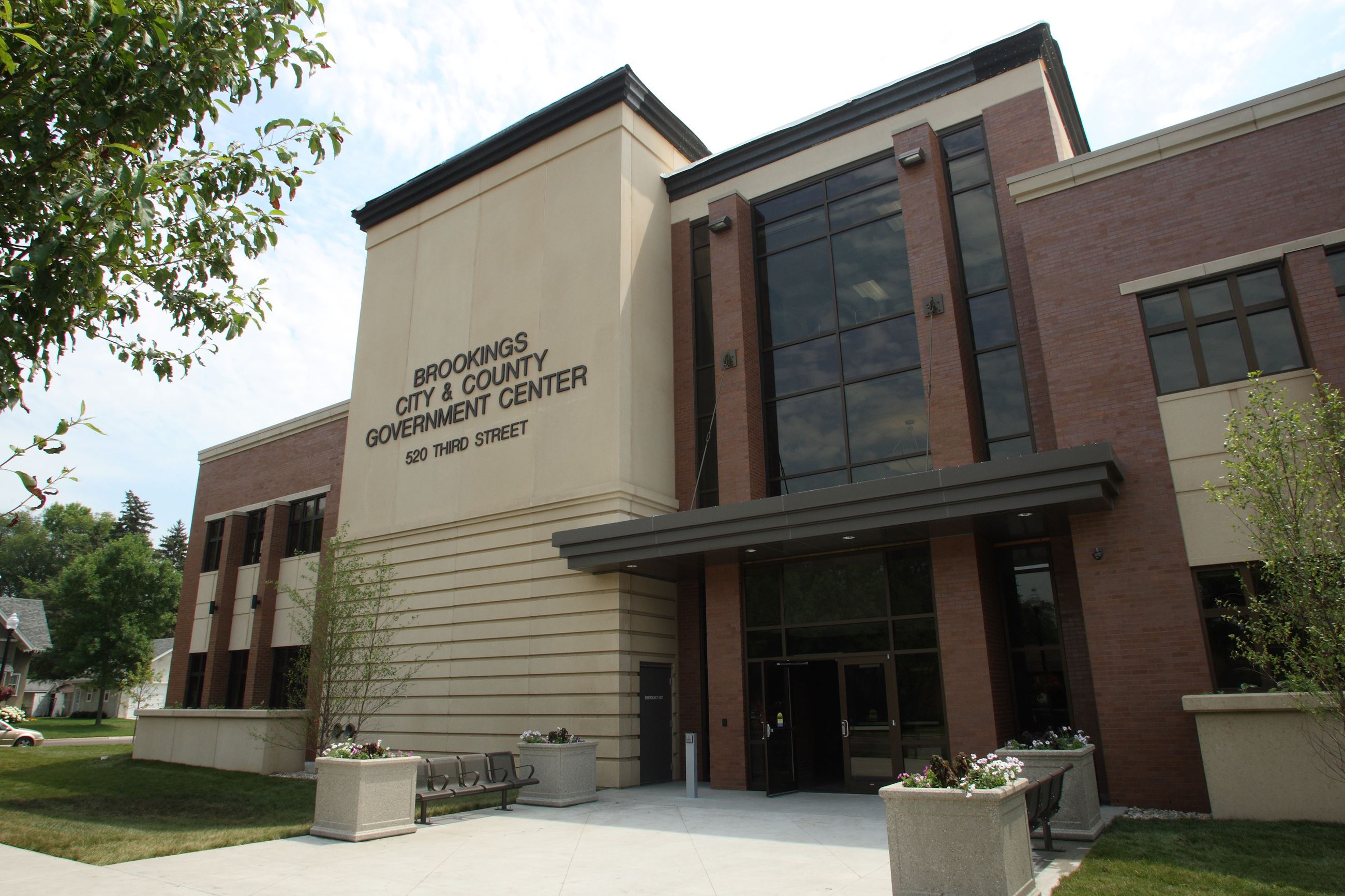 |
520 Third Street, Suite 110, Brookings, SD 57006 | (605)-696-8220 |
The information provided on this website about U.S. States, Counties, and Cities, is compiled from publicly available sources and is made available “as is” for informational purposes only. No representations, warranties or guarantees are made as to the accuracy, adequacy, reliability, currentness, completeness, suitability or applicability of the information contained on this website for any particular purpose. All 3rd party trademarks are for reference purposes only. PublicRecords.com powered by Intelius is a privately owned website and is not a direct source of government records or services and not affiliated with any government agency.
Compiled by: Chris E. | Reviewed by: Blake A. | Last update: 03/13/24
South Dakota has a variety of GIS records that are accessible to anyone. These records encompass a wide range of data allowing individuals to access and review available information online. Records can include but are not limited to, land ownership maps, property lines maps, and cadastral mapping information. We compile our resource lists from reliable government agencies to ensure ease in your search.
If you couldn't find the resource you were searching for, go to the South Dakota Property & Land Records page for other public records resources. Looking for something other than property and land tax records in South Dakota? Search the database of all public records available.
Visit our Contact Us page to report any issues.
Use the citation tool to easily create a properly formatted citation or reference. Select the format you’d like to use and copy the link from the screen below.
The information provided on this website about U.S. States, Counties, and Cities, is compiled from publicly available sources and is made available “as is” for informational purposes only. No representations, warranties or guarantees are made as to the accuracy, adequacy, reliability, currentness, completeness, suitability or applicability of the information contained on this website for any particular purpose. All 3rd party trademarks are for reference purposes only. PublicRecords.com powered by Intelius is a privately owned website and is not a direct source of government records or services and not affiliated with any government agency.
This site contains REAL public records data including criminal records, background reports, photos, court documents, address information, phone numbers, civil judgments, properties owned, social media profiles, and much more.
PublicRecords.com powered by Intelius does not provide consumer reports and is not a consumer reporting agency under the Fair Credit Reporting Act. We provide information (criminal record, address, phone number, property, civil judgment, and more) that can be used to satisfy your curiosity, protect your family, and find the truth about people in your life. To use our site you must certify below that you agree to our Privacy Policy and Terms of Use and will NOT use our site or the information we provide:


