
Conduct a GIS records search in Virginia using our GIS records resources.
View our GIS records resources for the state of Virginia. Use these GIS records to search for land ownership maps, cadastral maps, or property line maps. GIS records may contain GIS property search records, property ownership maps, and other public GIS record information.

| County | Resource | Details |
|---|---|---|
|
Search West Virginia environmental maps including aerial photography and topography. |
||
|
View West Virginia GIS maps including base maps, cultural, environmental, flood maps, and others. |
||
| fluvanna county |
Stay informed on the latest updates and upgrades to Fluvanna County's GIS system. Essential information for residents and businesses in Palmyra, VA. |
|
| fluvanna county |
Explore Fluvanna County's GIS (Geographic Information Systems) online for detailed mapping and property information. Access the Help/User Guide for assistance. |
|
| fluvanna county |
Explore Fluvanna County, VA through the Geographic Information System (GIS). Access maps and data provided by government and private sources for detailed local insights. |
|
| fluvanna county |
Explore Fluvanna County's GIS for land use valuation, property assessments, and real estate information. Contact the Palmyra office at 434-591-1940 or fax 434-591-1941 for assistance. |
|
| fluvanna county |
Request GIS maps of Fluvanna County, VA, and access supporting documents. Find contact details for the Planning Department at 132 Main Street, P.O. Box 540, Palmyra, VA 22963. |
|
| fluvanna county |
Download comprehensive GIS data for Fluvanna County, VA, available in File Geodatabase (.gdb) and Shapefile (.shp) formats for detailed mapping and analysis. |
|
| fluvanna county |
Explore Fluvanna County's rich history with our interactive GIS map. The 1863 CSA Cassell map is now digitized, searchable, and features detailed labels for in-depth research. |
|
| fluvanna county |
Explore Fluvanna County's GIS property records and assessment values. Updated data as of 12/28/2023 with effective values from 1/10/2023. |
|
| fluvanna county |
Fluvanna County GIS Property Search | Virginia Public Records |
Explore Fluvanna County GIS maps for property details, tax information, and more through our comprehensive online public records search. |
| grayson county |
Explore Grayson County, VA with our detailed GIS map. View property lines derived from historical hand-drawn maps and understand current tax parcel boundaries for informed decisions. |
|
| grayson county |
Utilize the Grayson County GIS system to identify the zoning district for your property and explore other planning and community development resources. |
|
| grayson county |
Explore Grayson County, VA GIS plat maps for detailed property and land ownership information, including parcel numbers and acreage. Access is free and available online. |
|
| grayson county |
Grayson County VA GIS Portal - Interactive Maps & Dashboards |
Explore Grayson County, VA through interactive GIS Storymaps, combining detailed maps with narrative text, and create custom dashboards with dynamic data visualizations. |
| grayson county |
Explore Grayson County, VA through the VGIN Geospatial Portal. Access GIS data, maps, and learn about VGIN's various geospatial programs and initiatives. |
|
| grayson county |
Explore comprehensive agricultural data on Grayson County, VA, with our GIS map. Discover farmland values, soil productivity, crop distribution, and ownership details. |
|
| grayson county |
Explore comprehensive land parcel data in Grayson County, VA. Our interactive GIS map provides detailed property boundaries and valuable insights for every parcel. |
|
| cabell county |
Search Cabell County property tax and assessment records by name, address or parcel through GIS maps. |
|
| cabell county |
Explore interactive maps and property information in Cabell County, WV, with comprehensive data sourced from recorded plats, deeds, and other official records. |
|
| cabell county |
Explore interactive GIS tax maps and utilize the tax estimator tool for comprehensive property insights in Cabell County, WV. Accessible information provided by the Cabell County Assessor. |
|
| cabell county |
Explore Cabell County's GIS maps, access tax estimators, and find office information for the Assessor's Office located at the Cabell County Courthouse, 750 Fifth Avenue, Huntington, WV. |
|
| cabell county |
Explore Cabell County's GIS interactive map to locate voting precincts and districts. Visit the Cabell County Clerk's office online for more information. |
|
| cabell county |
Explore property details, ownership, and geographical data across Cabell County, WV, with our comprehensive GIS mapping tool. |
|
| cabell county |
Explore and print detailed tax maps of Cabell County, West Virginia, provided by the Cabell County Assessor's office for convenient access to property and GIS data. |
|
| cabell county |
Contact the Magistrate Court in Cabell County, WV for inquiries on court proceedings, schedules, and services. Reach out for assistance or information. |
|
| cabell county |
Get in touch with the Cabell County Magistrate Court in West Virginia. For inquiries or assistance, please reach out to us. Note: Response times may vary during peak election periods. |
|
| cabell county |
Contact the Cabell County Magistrate Court in West Virginia for local legal proceedings and inquiries. Find phone numbers and more information. |
|
| cabell county |
Understanding the Functioning of West Virginia Magistrate Courts |
Discover the role and operations of West Virginia's magistrate courts, including Cabell County. Understand their jurisdiction in municipal and state law enforcement. |
| cabell county |
Explore a wide range of public records, including land, birth, death, marriage, and wills, maintained by Scott Caserta, the Chief County Clerk of Cabell County. |
|
| cabell county |
Explore the services of the Cabell County Magistrate Court in West Virginia, including court schedules, case information, and legal resources. |
|
| cabell county |
Learn about the Cabell County judiciary, including information on magistrate elections, circuit court details, and the appeal process to the 4th Circuit Court. |
|
| dickenson county |
Explore Dickenson County, VA with the Esri World Geocoder. Find detailed maps of roads and locations. Share and access the map view easily. |
|
| dickenson county |
Explore a range of online services including GIS mapping tools, property information, and specialty maps provided by the Dickenson County, VA official website. |
|
| dickenson county |
Explore a variety of interactive maps and GIS resources for Dickenson County, VA, including property details and specialty maps. Stay informed with the latest geographical data. |
|
| dickenson county |
Explore Dickinson County's interactive GIS maps to access property information, public records, and geographical data in Virginia. |
|
| dickenson county |
Explore interactive GIS maps for Dickenson County, VA, and other Virginia counties including Accomack, Albemarle, and Alleghany for detailed property and geographic data. |
|
| culpeper county |
Explore interactive maps and valuable geographic data for Culpeper County, VA, through the official WebGIS portal. Disclaimer: Data provided by various government and private sources. |
|
| culpeper county |
Explore interactive GIS maps of Culpeper County, VA, offering in-depth property details and advanced search capabilities for residents and visitors. |
|
| culpeper county |
Explore the Culpeper County GIS for detailed mapping and spatial data analysis. Our user-friendly online platform is open to the public, with support available to guide you through its features. |
|
| culpeper county |
Explore Culpeper County's comprehensive GIS data and real property information through the official online mapping service. |
|
| culpeper county |
Explore the comprehensive GIS database for Culpeper County, VA, offering detailed property assessment information managed by the Department of Real Estate Assessments. |
|
| culpeper county |
Explore Culpeper, VA's geospatial data through our comprehensive GIS mapping tools. Accurate and detailed geographic information at your fingertips. |
|
| culpeper county |
Explore interactive maps of Culpeper, VA with the Town's online GIS platform. Note: These maps are intended for reference and planning purposes, not for engineering precision. |
|
| culpeper county |
Explore the Culpeper County, VA WebGIS platform for detailed geographic data and mapping resources. DISCLAIMER: Data provided may come from various government and private sources. |
|
| nottoway county |
Nottoway County GIS Services â Property & Zoning Information |
Obtain detailed property assessments, zoning, and E911 addressing information through Nottoway County's GIS services. Contact the Commissioner of Revenue's Office at 434-645-9317 for assistance. |
| nottoway county |
For inquiries or to report any discrepancies in the GIS data layers, please reach out to the Nottoway County GIS Manager at nottoway@nottoway.org. |
|
| nottoway county |
Explore and download GIS data, access Planning Commission Packet Minutes, and find contact information for Nottoway County, VA. Stay informed with the latest updates. |
|
| nottoway county |
Explore property details, maps, and geographical information in Nottoway County, Virginia. Find properties by name, location, or address. For help, dial 434-... |
|
| nottoway county |
Nottoway County GIS Map - View Property & Parcel Information |
Explore Nottoway County, VA on our GIS map to view property boundaries, land ownership details, parcel numbers, and acreage data for free. |
| greensville county |
Search Greensville County property tax and assessment records by parcel number or address including GIS maps. |
|
| greensville county |
Explore Greensville County's GIS resources for detailed maps and data. For assistance, reach out to the GIS Department at (434) 348-4205 or access the information online. |
|
| greensville county |
Explore Greensville County, VA with our comprehensive GIS tool. Discover detailed maps featuring property lines, zoning areas, school districts, utility lines, and topographical features. Access the County GIS for in-depth information. |
|
| greensville county |
Explore Greensville County, VA's GIS maps, view the holiday schedule, landfill details, litter program, and tax information on the official government website. |
|
| greensville county |
Explore Greensville County's real estate tax details, exemptions, and reassessment processes. Learn about the 100% appraised value assessments and the general reassessment conducted every 6 years. |
|
| greensville county |
Greensville County VA Geographic Information System (WebGIS) |
Explore Greensville County, VA through the WebGIS portal for detailed geographic data and mapping resources. DISCLAIMER: Data provided may come from various government and private sources. |
| greensville county |
Explore Greensville County, Virginia's GIS maps and property tax information through our user-friendly online inquiry system. |
|
| louisa county |
View Louisa County GIS maps including parcel search by owner name, parcel number or address. |
|
| louisa county |
Explore Louisa County's interactive maps and property data with the Online GIS platform. Access tax maps and detailed assessments for informed decision-making. |
|
| louisa county |
Explore Louisa County, VA through our GIS Mapping tool. Access up-to-date public records for planning and informational purposes. Note: Maps are not a substitute for a professional site survey. |
|
| louisa county |
Explore interactive maps and access property information with the Louisa County GIS system provided by The Schneider Corporation's Beacon platform. |
|
| louisa county |
Explore Louisa County, VA GIS plat maps for detailed property and land parcel information, including ownership, parcel numbers, and acreage. |
|
| louisa county |
Explore Louisa County through interactive GIS maps provided by Timmons Group. Access up-to-date public records and view detailed property information, but note that these maps are not a substitute for an official site survey. |
|
| louisa county |
Utilize Louisa County's GIS system for an interactive search to find the Tax Map Number linked to your property in Virginia. Simply input your address for detailed information. |
|
| louisa county |
Louisa County, VA GIS Maps Search - Access Free Data & Parcel Info |
Explore comprehensive GIS data, parcel information, and tax details with the free Louisa County, VA GIS Maps Search. Access accurate and up-to-date geographic information systems (GIS) for Louisa County. |
| louisa county |
Explore Louisa County, VA through detailed GIS maps. Find property data, tax information, and more on the official Louisa County GIS Maps portal. |
|
| louisa county |
Explore detailed property boundaries and geographical information in Louisa County, VA with our comprehensive GIS mapping tool. Ideal for developers, planners, and residents. |
|
| louisa county |
Louisa County VA Agricultural Data - Farmland Values & Soil Survey GIS Map |
Explore comprehensive agricultural data on Louisa County, VA, featuring farmland values, soil productivity, crop distribution, and detailed parcel ownership information through our interactive GIS map. |
| louisa county |
Explore Louisa County, VA with free GIS terrain data. Access detailed 7.5 minute DEM maps for comprehensive geographic information. |
|
| louisa county |
Louisa County, VA - Interactive GIS & Property Mapping | NETR Online |
Explore NETR Online's user-friendly GIS application for both current and historical property records in Louisa County, Virginia, presented through an intuitive geographic interface. |
| mathews county |
Explore and interact with Mathews County's GIS data including property tax records and geographical information through our user-friendly GIS browser. |
|
| mathews county |
Mathews County GIS & Public Services | Mathews County, VA Official Site |
Explore Mathews County's GIS services, access public records through FOIA, attend School Board meetings, and get in touch with local officials in Mathews County, VA. |
| mathews county |
Explore the detailed Cadastral Maps of Mathews County, VA, for comprehensive land parcel information and geographical insights. |
|
| mathews county |
Mathews County, VA Agriculture Data - Farmland Values & Soil Survey GIS |
Explore comprehensive agricultural insights with Mathews County, VA GIS mapping tool. Access farmland values, soil productivity, crop distribution, and ownership details. |
| mathews county |
Explore Mathews County, VA on the GIS map to find property boundaries, land ownership details, parcel numbers, and acreage data for free. |
|
| middlesex county |
View Middlesex County GIS maps. |
|
| middlesex county |
View Middlesex County maps including zoning map, future land use map, wetlands maps, county road map, and other maps. |
|
| middlesex county |
Search Middlesex County genealogy records such as obituaries, maps, and more. |
|
| randolph county |
Search Randolph County property tax and assessment records through GIS map. |
|
| raleigh county |
Search Raleigh County property tax and assessment records by parcel number, owner name, district, and GIS maps. |
|
| putnam county |
Search Putnam County property tax and assessment records through GIS maps. |
|
| pocahontas county |
Search Pocahontas County property assessments by owner's name, address, parcel number, deed book, tax year, and more. |
|
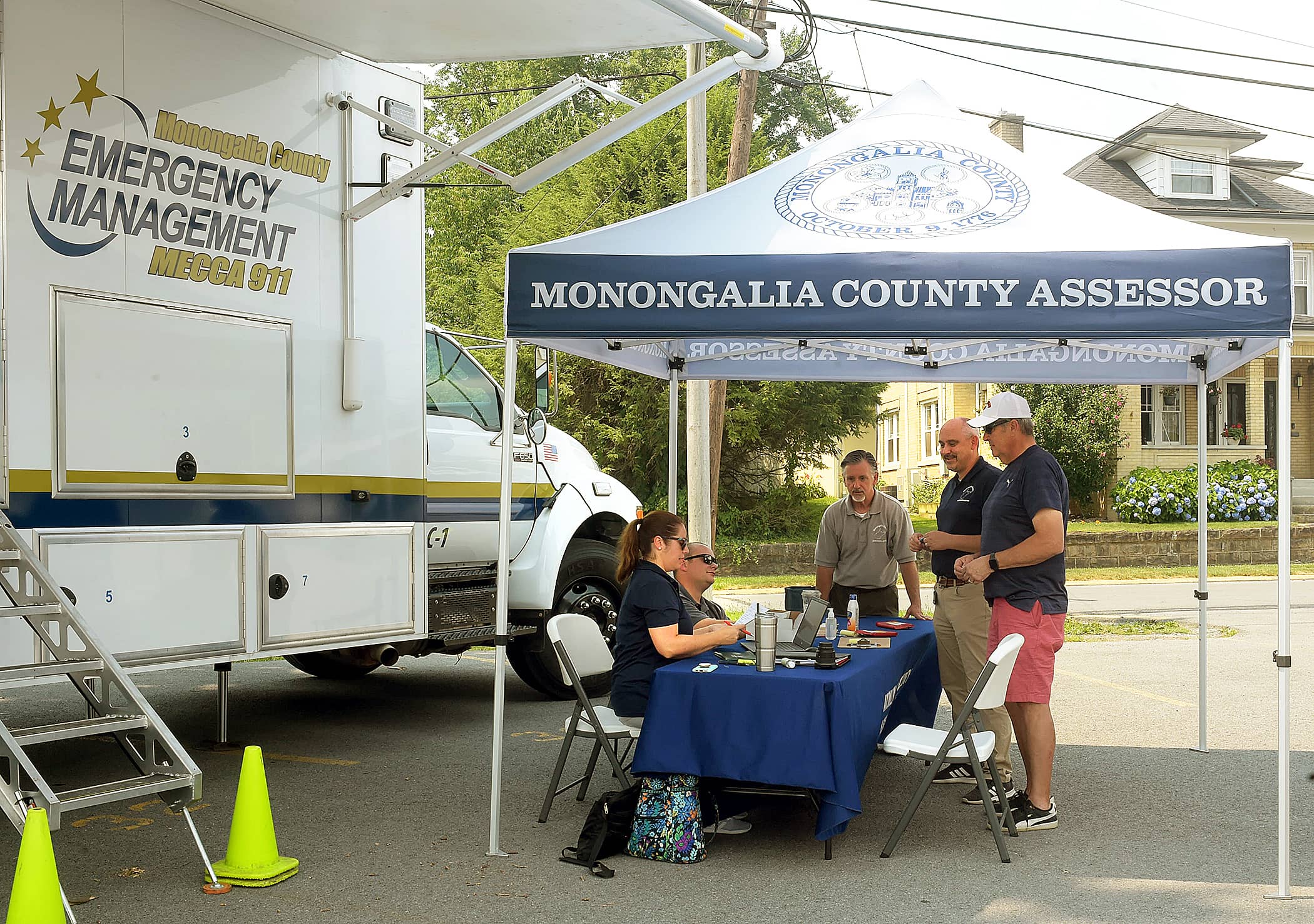
| monongalia county |
Search and view database information page for Monongalia County property tax and assessment records by name, account number or parcel number including tax maps, and more. |
|
| mineral county |
Search Mineral County property tax and assessment records by name, address or parcel id through GIS maps. |
|
| marshall county |
Search Marshall County property tax and assessment records by name, address or parcel through GIS maps. |
|
| lincoln county |
View Lincoln County GIS maps including tax parcel search by owner name, parcel id or address. |
|
| kanawha county |
View City of Charleston City Countil meeting minutes by year and date from 2012 to present including ward map. |
|
| kanawha county |
View Kanawha County GIS maps including tax parcel search by parcel id. |
|
| jackson county |
Search Jackson County property tax and assessment records by owner's name, address, parcel ID, deed book, tax year through GIS maps. |
|
| hardy county |
Search Hardy County property tax records by owner name, parcel id or address through GIS maps. |
|
| hancock county |
View Hancock County tax maps by district and map number. |
|
| hampshire county |
Search Hampshire County property tax and assessment records by name, address or parcel number through GIS maps. |
|
| greenbrier county |
Search Greenbrier County parcel data by ownership, parcel number, sales, tax value location through GIS maps. |
|
| fayette county |
Search Fayette County property tax and assessment records by name, address, parcel number through GIS maps. |
|
| brooke county |
View Brooke County tax maps by district number or map number. |
|
| newport news city |
View City of Newport News Police precinct maps. |
|
| newport news city |
View City of Newport News information about genealogical research including maps and photographs. |
|
| newport news city |
View City of Newport News GIS maps. |
|
| newport news city |
View City of Newport News maps including city council maps, zip code districts map, floodplains map, and other maps. |
|
| newport news city |
Search City of Newport News Library System genealogy resources such as vital records, and more. A valid library is required in order to access certain resources. |
|
| washington county |
Search Washington County property tax and assessment records by owner name, map number or street name including GIS maps. |
|
| washington county |
View Washington County election district maps. |
|
| rockingham county |
Search Rockingham County GIS map for property tax and assessment records. Search by tax number, owner name, or address. |
|
| rockingham county |
View Rockingham County maps including zoning maps, land use maps, school districts map, and other maps. |
|
| prince william county |
Search Prince William Public Library System resources such as historic records, maps, birth records, death records, marriage records, and more. |
|
| prince william county |
View City of Manassas GIS maps including trail map, parking map, and other maps. |
|
| prince william county |
View City of Manassas Park maps including zoning map, land use map, city facilities map, street system map, and others. |
|
| prince william county |
View Prince William County GIS maps. |
|
| prince william county |
View Prince William County voting precincts map. |
|
| prince george county |
View Prince George County floodplain information including floodplain maps. |
|
| prince george county |
View Prince George County GIS maps. |
|
| prince george county |
View Prince George County maps including tax maps, address maps, school maps, zoning maps, precinct maps, and other maps. |
|
| pittsylvania county |
Search Pittsylvania County property tax and assessment records by owner name, parcel id or address including GIS maps. |
|
| pittsylvania county |
View Pittsylvania County election district map. |
|
| page county |
View Page County tax maps by map number including tax map index. |
|
| page county |
View Page County road atlas, Town of Luray roads index, Town of Stanley roads index and Town of Shenandoah road index. |
|
| new kent county |
View New Kent County voter and election information including polling locations and voter precinct map. |
|
| montgomery county |
Search Montgomery County property tax and assessment records by owner name, parcel id or address including GIS maps. |
|
| montgomery county |
View Town of Blacksburg Police crime maps including type of crime, address and date. |
|
| montgomery county |
View information about Town of Blacksburg cemetery including GIS map of plots. |
|
| montgomery county |
View Town of Blacksburg maps including streets map, zoning districts map, parks map, and other maps. |
|
| mecklenburg county |
Search Mecklenburg County available commercial and industrial real estate through GIS maps. |
|
| mecklenburg county |
View Mecklenburg County voter and election information including voter district map. |
|
| loudoun county |
View Loudoun County GIS maps including election districts map, planning map, schools map, zoning map, and other maps. |
|
| king william county |
View King William County E-911 maps and tax maps. |
|
| king william county |
View King William County Supervisor districts map. |
|
| james city county |
Search James City County property tax and assessment records by owner name, street address or parcel id including GIS maps. |
|
| james city county |
View James City County maps including location map, tax map index, parks map, school zones maps, and other maps. |
|
| james city county |
View James City County polling places including district map. |
|
| hanover county |
Search Hanover County property tax and assessment records by parcel id, property address or mailing address including GIS maps. |
|
| hanover county |
View Hanover County voter and election information including polling locations, election results and election district maps. |
|
| greene county |
Search Greene County property tax and assessment records through GIS maps. |
|
| greene county |
View Greene County ordinances by zoning ordinance, subdivision ordinance, and floodplain maps. |
|
| goochland county |
View Goochland County current list of polling locations and voting district maps, as well as information about voter registration and absentee ballots. |
|
| gloucester county |
Search Gloucester County property tax and assessment records including GIS maps. |
|
| gloucester county |
View Gloucester County GIS maps. |
|
| giles county |
View Giles County maps including new river maps, bikeway maps, walkway maps, and other maps. |
|
| fauquier county |
View Fauquier County historical maps by date. |
|
| fauquier county |
View Fauquier County voter and election information including polling locations, district maps and online voter registration. |
|
| clarke county |
Search Clarke County property tax and assessment records through GIS maps. |
|
| clarke county |
View Clarke County voter and election information including polling locations, district maps and election results. |
|
| winchester city |
View City of Winchester tax maps by number. |
|
| winchester city |
View City of Winchester crime maps by incident type or date range. |
|
| winchester city |
View City of Winchester GIS maps including aerial photos. |
|
| winchester city |
View City of Winchester voter and election information including polling locations and voting ward maps. |
|
| williamsburg city |
Search City of Williamsburg property tax and assessment records by owner name, address or parcel id including GIS maps. |
|
| williamsburg city |
View City of Williamsburg maps such as zoning maps, voting precincts, and more. |
|
| virginia beach city |
Search City of Virginia Beach property tax and assessment records by address, GPIN, or legal description including GIS maps. |
|
| virginia beach city |
View City of Virginia Beach maps including citwide map, zip code map, districts map, census tract maps, and other maps. |
|
| york county |
Search City of Poquoson property tax and assessment records by owner name, street nmber or parcel id including GIS maps. |
|
| york county |
Search York County property tax and assessment records by owner name, address or parcel id including GIS maps. |
|
| york county |
View York County GIS maps including parcel search by owner name, address or parcel id. |
|
| york county |
View City of Poquoson flood information including flood risk map. |
|
| norfolk city |
Search City of Norfolk property tax and assessment records by address, account number or street name including GIS maps. |
|
| norfolk city |
View City of Norfolk survey control monument mapper. |
|
| norfolk city |
View City of Norfolk GIS maps. |
|
| norfolk city |
View City of Norfolk maps including annexation map, census tracts map, flood rate maps, school maps, and other maps. |
|
| hampton city |
Search for the City of Hampton property assessments, parcel maps, tax information and property transfer documents including GIS maps. |
|
| hampton city |
Search interactive City of Hampton GIS map by address for detailed information about land development, neighborhood services, public works services, and voting information. |
|
| fairfax county |
Search City of Fairfax tax maps, assessment and sales history records by street, parcel, account number or sale date. |
|
| fairfax county |
View City of Alexandria maps including census tract map, fire resources map, planning districts map, topography map, and other maps. |
|
| fairfax county |
View City of Alexandria polling locations by precinct number. |
|
| fairfax county |
View City of Fairfax GIS maps by census maps, land use maps, zoning map, and other maps. |
|
| danville city |
Search City of Danville property assessment and sales records through GIS maps. |
|
| danville city |
View City of Danville precinct locations including voter precinct map. |
|
| albemarle county |
Search Albemarle County property tax and assessment records by owner name, parcel id, property address, subdivision name or date range including GIS maps. |
|
| albemarle county |
Search City of Charlottesville property tax and assessment records by owner name, address or parcel id including GIS maps. |
|
| albemarle county |
View Albemarle County crime maps by crime type, date, or address. |
|
| albemarle county |
View City of Charlottesville crime maps by type of crime, location or date. |
|
| albemarle county |
View City of Charlottesville maps including street map, school districts, development maps, zoning map, aerial photography, and others. |
|
| albemarle county |
View City of Charlottesville polling locations and precinct maps. |
|
| bristol city |
View City of Bristol zoning maps and information about tax maps and topographic maps. |
|
| campbell county |
View Campbell County GIS maps. |
|
| campbell county |
View Campbell County polling locations and election district maps. |
|
| bedford county |
View Bedford County GIS maps. |
|
| arlington county |
View Arlington County GIS maps. |
|
| arlington county |
View Arlington County maps including aerial photos, development tracking map, geology map, historic aerial photos, and other maps. |
|
| accomack county |
View Accomack County GIS maps including parcel search by owner name, tax map number, parcel id number or billing address. |
|
| accomack county |
View Accomack County precinct and polling locations by precinct number including locations map. |
|
| summers county |
View Summers County voter registration and election information including precinct listings, polling places, early voting, and precinct map. |
|
| spotsylvania county |
View Spotsylvania County Sheriff crime maps by crime type, date or address. |
|
| suffolk city |
View City of Suffolk crime maps by crime type, date, or address. |
|
| roanoke city |
Search City of Roanoke property tax and assessment records by owner name, street name, or tax number including GIS maps. |
|
| roanoke city |
View City of Roanoke Police crime reports and crime map by incident type or address. |
|
| warren county |
Search Warren County property tax and assessment records by owner name, parcel id, or address including GIS maps. |
|
| surry county |
View Surry County GIS maps including parcel search by owner name, address or tax map number. |
|
| smyth county |
Search Smyth County property tax and assessment records by tax id or address through GIS maps. |
|
| shenandoah county |
Search Shenandoah County property tax and assessment records through GIS maps. |
|
| scott county |
View Scott County GIS maps. |
|
| rockbridge county |
Search Rockbridge County property tax and assessment records through GIS maps. |
|
| roanoke county |
Search Roanoke County property tax and assessment records through GIS maps. |
|
| richmond county |
Search Richmond County property tax and assessment records through GIS maps. |
|
| pulaski county |
Search interactive Pulaski County GIS map for property tax and assessment records by address or parcel ID. Map also provides zoning districts, aerials, infrastructure, school districts, and flood zones. |
|
| powhatan county |
Search Powhatan County tax parcel records by parcel number, address or owner name including GIS maps. |
|
| orange county |
Search Orange County property tax and assessment records by owner name, map number or street name through GIS maps. |
|
| northumberland county |
Search Northumberland County property tax and assessment records by name or map number. |
|
| northampton county |
Search Northampton County property tax and assessment records by owner name, tax map number or billing address including GIS maps. |
|
| nelson county |
Search interactive Nelson County GIS map for property tax and assessment records by address, owner name, or GPIN. |
|
| madison county |
Search Madison County property tax and assessment records through GIS maps. |
|
| lancaster county |
Search Lancaster County property tax and assessment records by owner name, property address or parcel number including GIS maps. |
|
| king george county |
Search King George County property tax and assessment records through GIS maps. |
|
| halifax county |
Search Halifax County property tax and assessment records by owner name or map number including GIS maps. |
|
| frederick county |
View Frederick County maps including tax maps and parcel search. |
|
| franklin county |
Search for Franklin County property records and parcel maps by owner name, address, or parcel number. |
|
| floyd county |
Search Floyd County interactive GIS map for property assessment records. Search by address, owner name, or parcel ID. |
|
| dinwiddie county |
Search Dinwiddie County tax parcels by owner name, address or parcel id including GIS maps. |
|
| cumberland county |
Search Cumberland County property tax and assessment records by owner name, address or map number through GIS maps. |
|
| waynesboro city |
Search City of Waynesboro property tax and assessment records by owner name, account number, tax map number or address including GIS maps. |
|
| portsmouth city |
Search City of Portsmouth property tax assessment records by street name and tax maps by map number. |
|
| portsmouth city |
View City of Portsmouth GIS maps including flood maps and parcel sales. |
|
| petersburg city |
Search the City of Petersburg property assessments by owner name, street name or parcel number including sales history through GIS maps. |
|
| wise county |
Search City of Norton tax parcel records by owner name, parcel number or street name including GIS maps. |
|
| henry county |
Search City of Martinsville property tax and assessment records by owner name, 911 address, billing address, or parcel id including GIS maps. |
|
| henry county |
City of Martinsville Commercial and Industrial Real Estate Search |
Search City of Martinsville available commercial and industrial real estate including GIS maps. |
| lynchburg city |
Search City of Lynchburg property tax and assessment records by owner name, street name or parcel id including GIS maps. |
|
| chesapeake city |
Search City of Chesapeake property records through GIS maps. |
|
| charles city county |
Search Charles City County property tax and assessment records by owner name, address, parcel number, account number including GIS map and sales records. |
|
| carroll county |
Search Carroll County property records through GIS maps. |
|
| caroline county |
View Caroline County tax maps. |
|
| buchanan county |
Search Buchanan County property tax records through GIS maps. |
|
| botetourt county |
Search Botetourt County property tax and assessment records through GIS maps. |
|
| bland county |
Search Bland County property tax and assessment records by owner name or parcel id through GIS maps. |
|
| appomattox county |
View Appomattox County GIS maps including parcel search by owner name, address or parcel id. |
|
| amherst county |
View Amherst County GIS maps including parcel search by owner name, address, tax map number or GPIN number. |
|
| alleghany county |
View Alleghany County GIS maps including parcel search by owner name, address or tax map number. |
The information provided on this website about U.S. States, Counties, and Cities, is compiled from publicly available sources and is made available “as is” for informational purposes only. No representations, warranties or guarantees are made as to the accuracy, adequacy, reliability, currentness, completeness, suitability or applicability of the information contained on this website for any particular purpose. All 3rd party trademarks are for reference purposes only. PublicRecords.com powered by Intelius is a privately owned website and is not a direct source of government records or services and not affiliated with any government agency.
Below, you will find a list of offices in Virginia that may hold GIS maps. When requesting GIS records from these offices, it's important to be aware of any procedures, requirements, and fees associated with obtaining the records. Contacting the respective office directly will provide you with the most accurate and up-to-date information regarding access to GIS records in Virginia.
| Image | Office | Address | Phone |
|---|---|---|---|
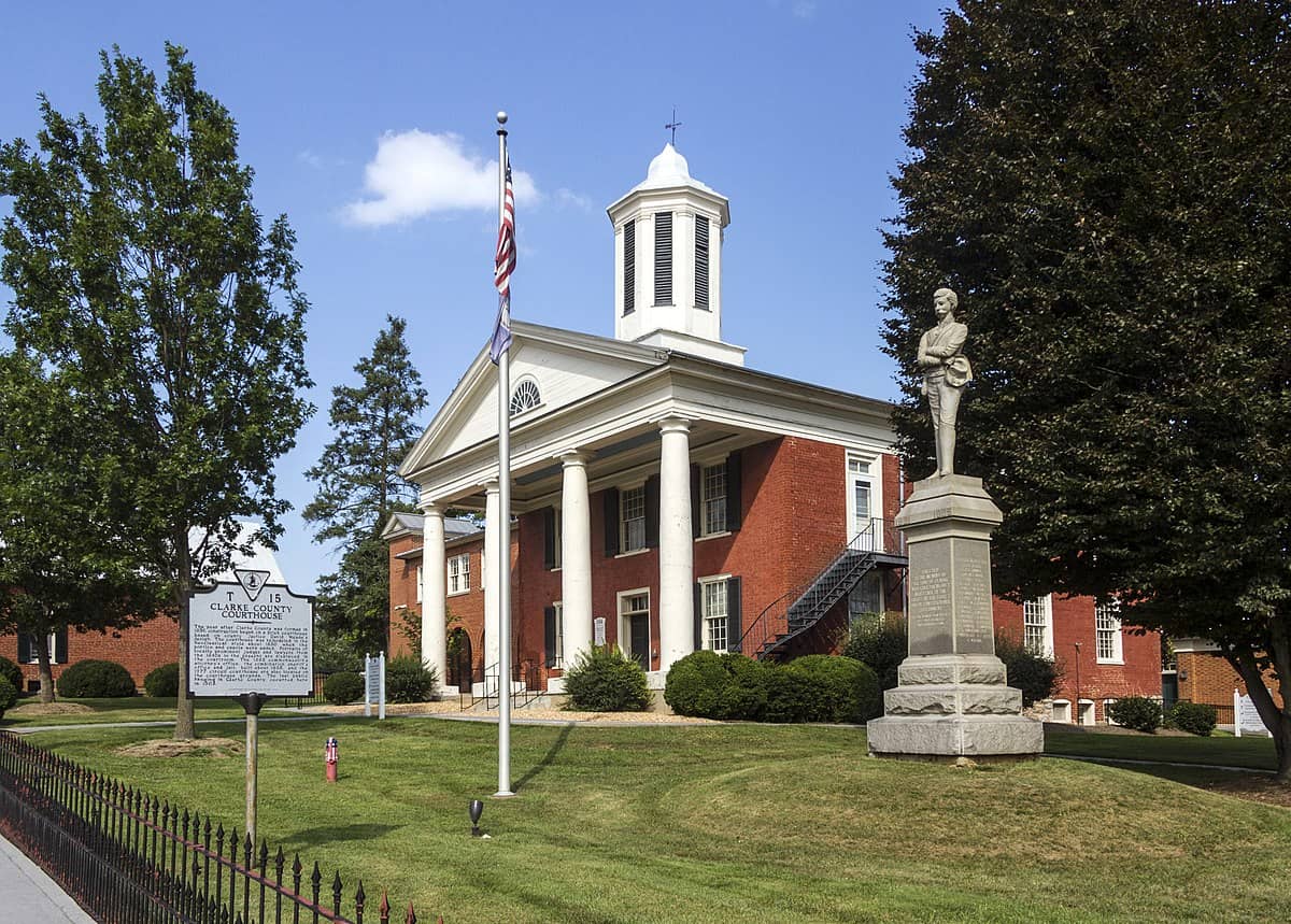 |
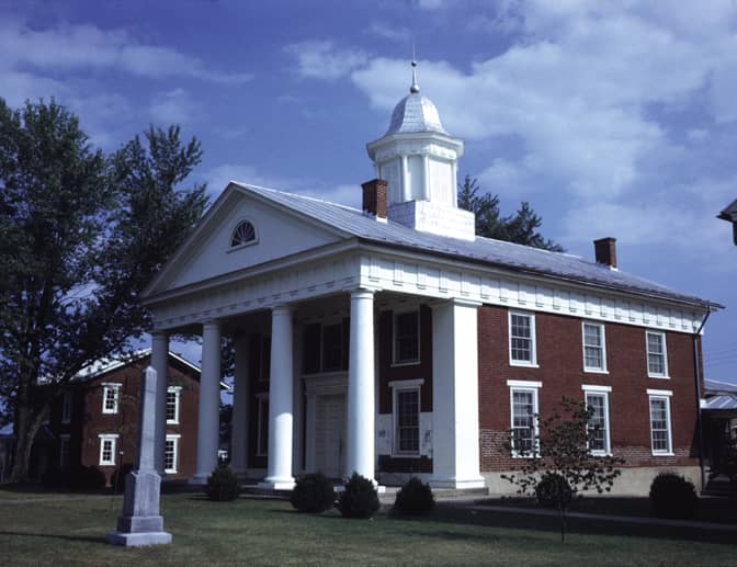
101 Chalmers Court, Berryville, VA 22611 | (540)-955-5108 | |
 |
12093 Winfield Road, Suite 3, Winfield, WV 25213 | (304)-586-0206 | |
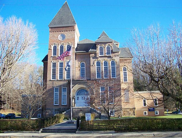 |
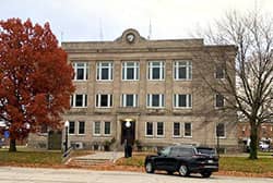
900 10th Avenue Suite I, Marlinton, WV 24954 | (304)-799-4750 | |
 |
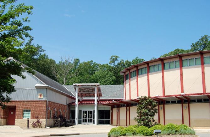
The address is: 15 Ford Avenue, Stanardsville, VA 22973 | (434)-985-5211 | |
 |
801 Crawford St., 2nd Floor, Portsmouth, VA 23705 | (757)-393-8631 | |
 |
243 High St., 2nd Floor of Courthouse "Annex", Morgantown, WV 26505 | (304)-291-7225 | |
 |
1 Government Center Place, Suite C, Abingdon, VA 24210 | (276)-676-6270 | |
 |
4 Randolph Ave., Room 101, Elkins, WV 26241 | (304)-636-2114 | |
 |
215 Main St., Beckley, WV 25801 | (304)-255-9178 | |
 |
20 East Gay St., Harrisonburg, VA 22802 | (540)-564-3067 | |
 |
150 South Main St., Lexington, VA 24450 | (540)-463-3431 | |
 |
5204 Bernard Drive SW, Suite 200D, Roanoke, VA 24018 | (540)-772-2035 | |
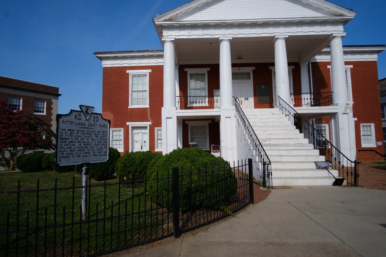 |
11 North Main St., Chatham, VA 24531 | (434)-432-7940 | |
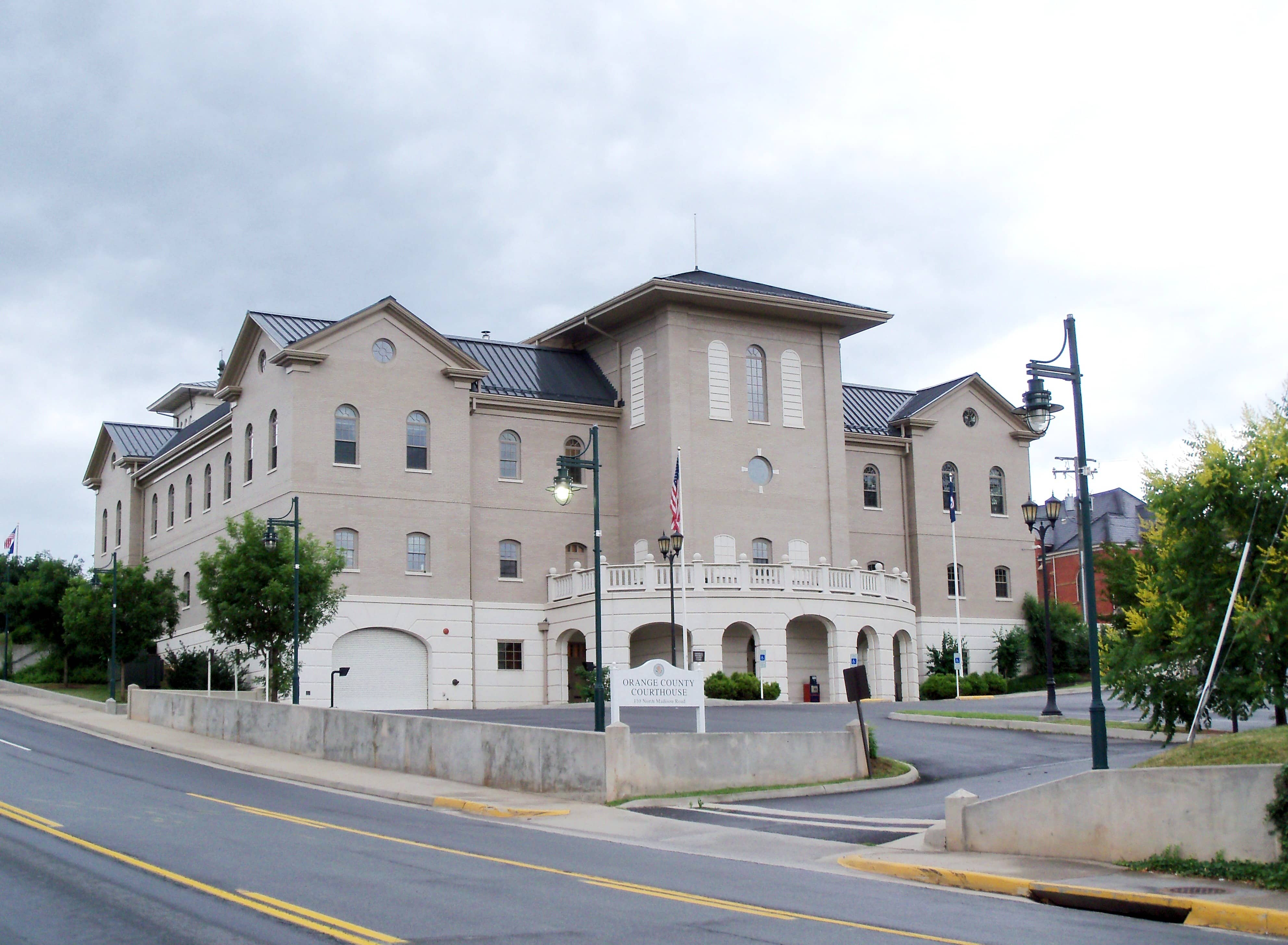 |
112 West Main St., Orange, VA 22960 | (540)-672-4441 | |
 |
101-F Mounts Bay Road, Williamsburg, VA 23185 | (757)-253-6650 | |
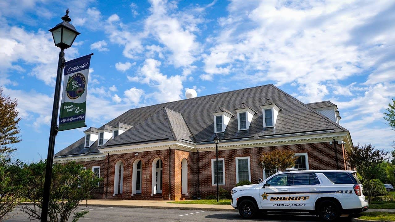 |
7497 County Complex Road, Hanover, VA 23069 | (804)-365-6029 | |
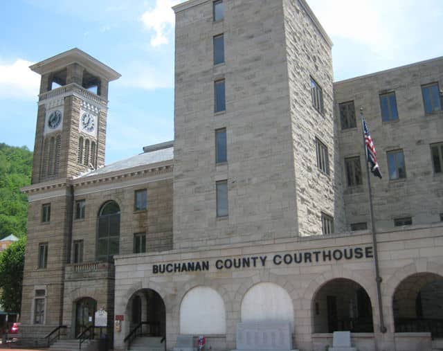 |
1012 Walnut St., Suite 110, Grundy, VA 24614 | (276)-935-6542 | |
 |
1030 Cowford Road, Halifax, VA 24558 | (434)-476-3314 | |
 |
Marshall County Courthouse 600 7th St., Moundsville, WV 26041 | (304)-845-1220 | |
 |
8000 Court Ave., Hamlin, WV 25523 | (304)-824-7990 | |
 |
750 5th Ave., Suite 308, Huntington, WV 25701 | (304)-526-9894 | |
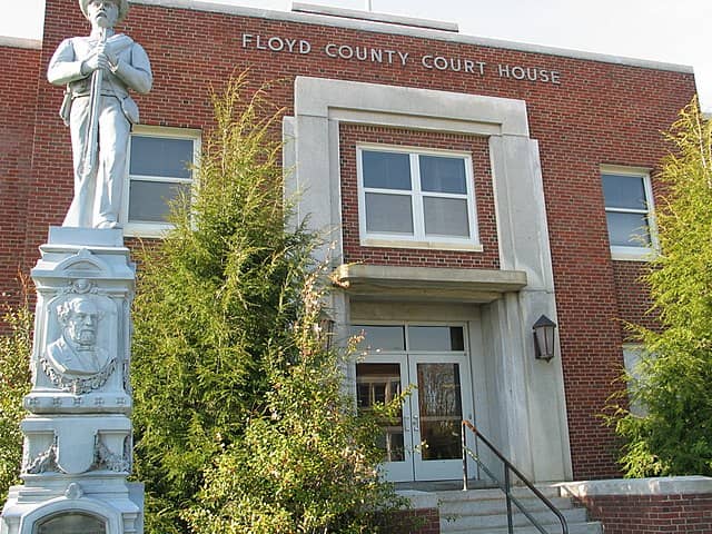 |
100 East Main Street, Floyd, VA 24091 | (540)-745-9345 | |
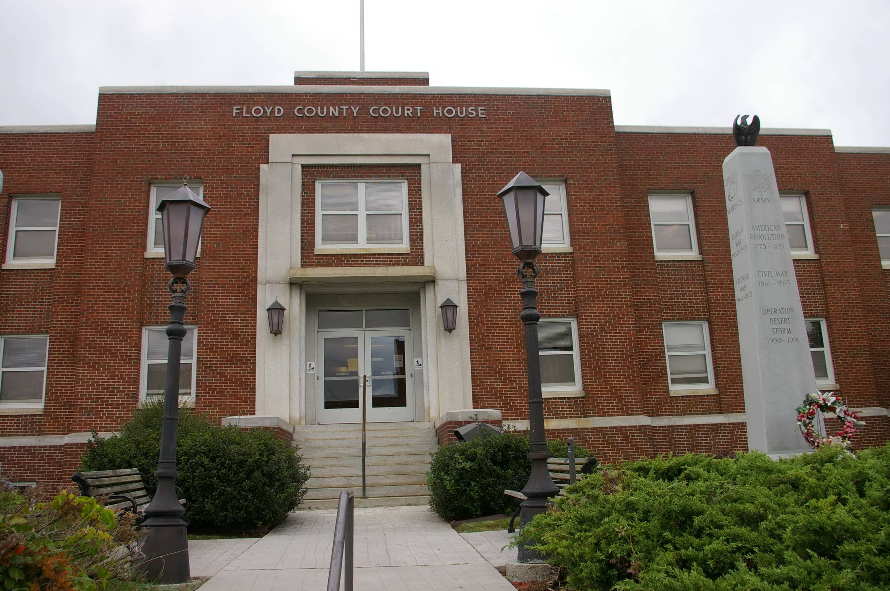 |
Floyd County Courthouse 100 East Main St., Room 200, Floyd, VA 24091 | (540)-745-9330 | |
 |
120 Ballengee St., Ste. 106, Hinton, WV 25951 | (304)-466-7104 | |
 |
600 North Main St., Suite 104, Woodstock, VA 22664 | (540)-459-6170 | |
 |
101 Court Circle, Warsaw, VA 22572 | (804)-333-3722 | |
 |
Henry County Commissioner of the Revenue Henry County Courthouse |
Henry County Courthouse 3300 Kings Mountain Road, Martinsville, VA 24112 | (276)-634-4690 |
 |
City of Williamsburg Real Estate Assessor Municipal Building |
401 Lafayette St., Williamsburg, VA 23185 | (757)-220-6185 |
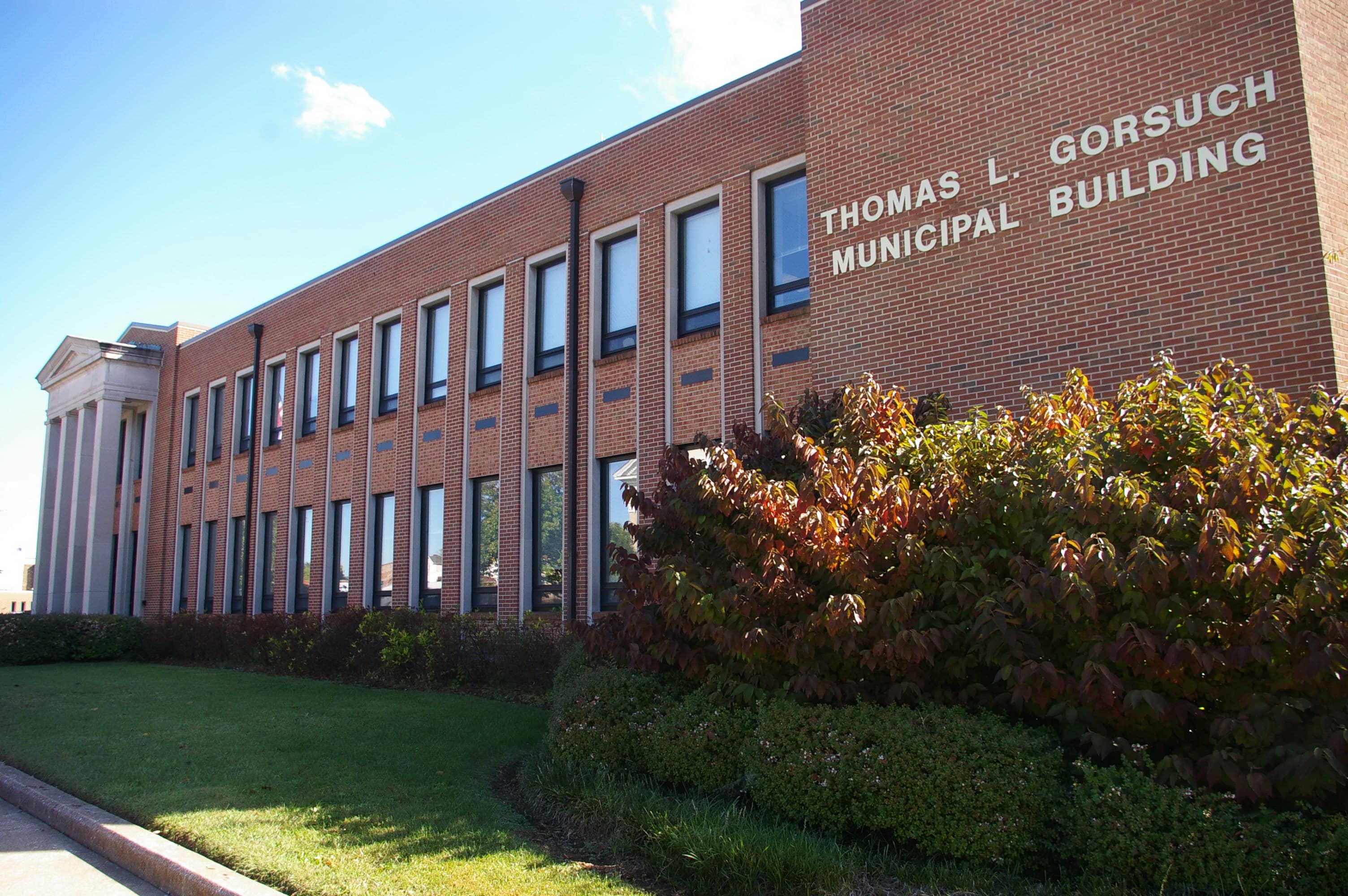 |
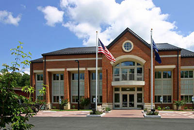
City of Waynesboro Real Estate Assessor Thomas L. Gorsuch Municipal Building |
250 South Wayne Ave., Suite 203, Waynesboro, VA 22980 | (540)-942-6722 |
 |
City of Virginia Beach Real Estate Assessor Municipal Center, Bldg. |
2424 Courthouse Dr., Virginia Beach, VA 23456 | (757)-385-4601 |
 |
215 Church Avenue, S.W., Roanoke, VA 24011 | (540)-853-2771 | |
 |
427 Patton St, Room 301, Danville, VA 24541 | (434)-799-5120 | |
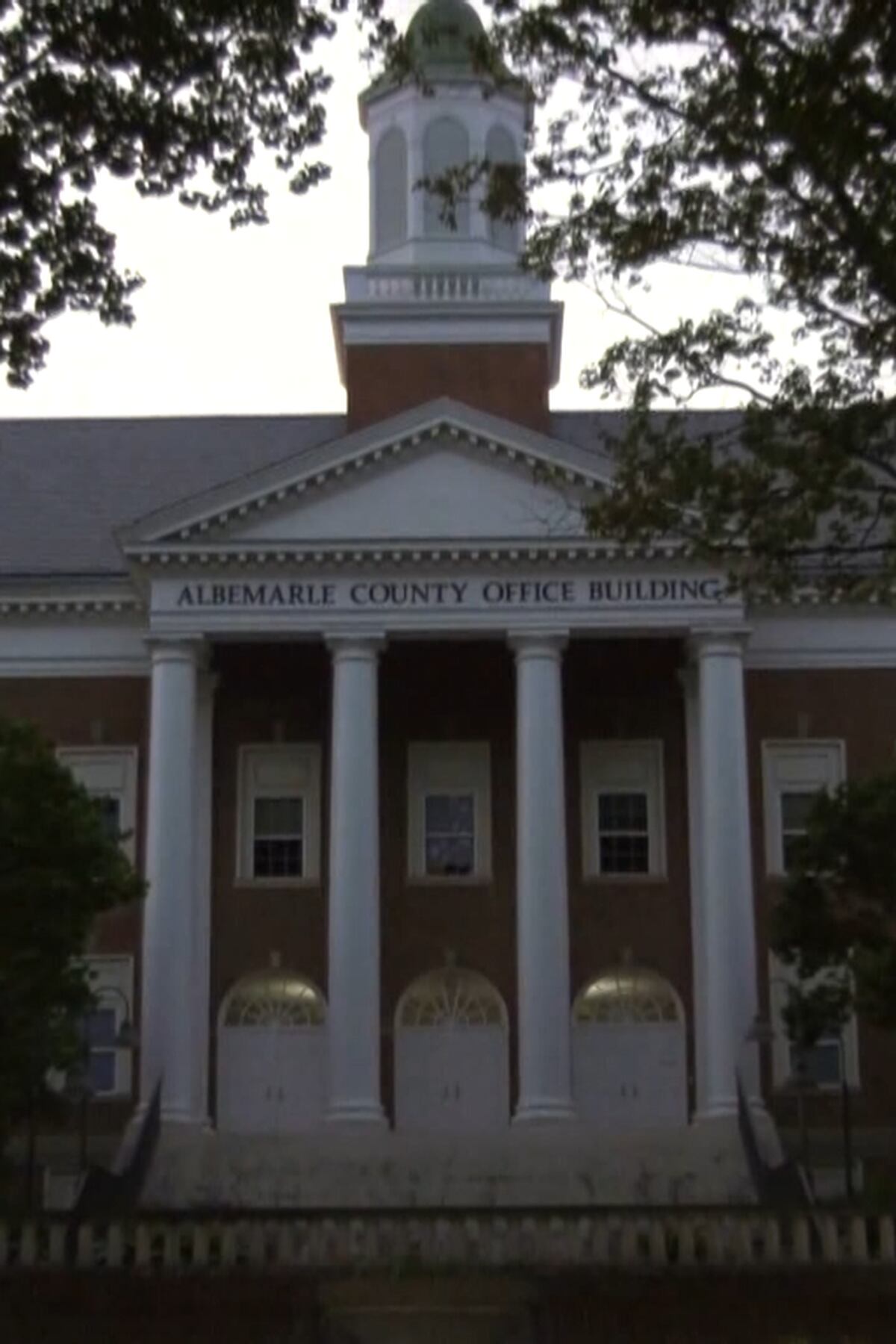 |
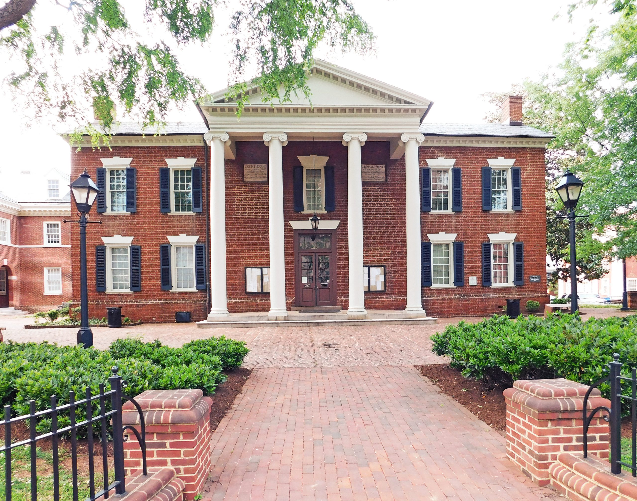
401 McIntire Road, Room 243, Charlottesville, VA 22902 | (434)-296-5856 | |
 |
605 East Main St., Room 320, Charlottesville, VA 22902 | (434)-970-3136 | |
 |
500 City Hall Ave., Poluoson, VA 23662 | (757)-868-3080 | |
 |
810 Union St., Room 402, Norfolk, VA 23510 | (757)-664-4732 | |
 |
City of Hampton Office of the Assessor Ruppert Sargent Building |
1 Franklin St., Suite 602, Hampton, VA 23669 | (757)-727-8311 |
 |
City of Fairfax Real Estate Assessment Office City Hall, Room |
Room 238. 10455 Armstrong St. Fairfax, VA 22030 | (703)-385-7840 |
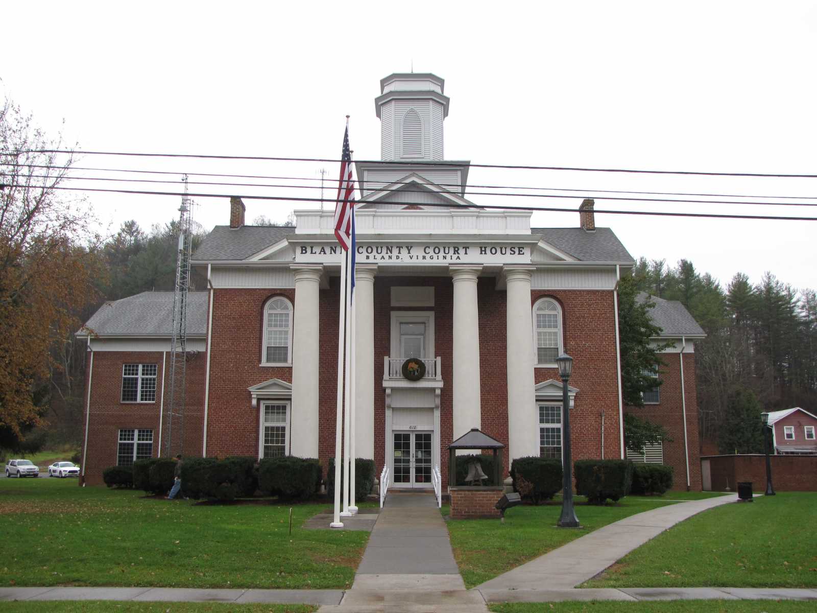 |
Bland County Commissioner of the Revenue Bland County Courthouse |
Bland County Courthouse 612 Main St., Suite 102, Bland, VA 24315 | (276)-688-4291 |
The information provided on this website about U.S. States, Counties, and Cities, is compiled from publicly available sources and is made available “as is” for informational purposes only. No representations, warranties or guarantees are made as to the accuracy, adequacy, reliability, currentness, completeness, suitability or applicability of the information contained on this website for any particular purpose. All 3rd party trademarks are for reference purposes only. PublicRecords.com powered by Intelius is a privately owned website and is not a direct source of government records or services and not affiliated with any government agency.
Compiled by: Chris E. | Reviewed by: Blake A. | Last update: 03/13/24
Virginia has a variety of GIS records that are accessible to anyone. These records encompass a wide range of data allowing individuals to access and review available information online. Records can include but are not limited to, land ownership maps, property lines maps, and cadastral mapping information. We compile our resource lists from reliable government agencies to ensure ease in your search.
If you couldn't find the resource you were searching for, go to the Virginia Property & Land Records page for other public records resources. Looking for something other than property and land tax records in Virginia? Search the database of all public records available.
Visit our Contact Us page to report any issues.
Use the citation tool to easily create a properly formatted citation or reference. Select the format you’d like to use and copy the link from the screen below.
The information provided on this website about U.S. States, Counties, and Cities, is compiled from publicly available sources and is made available “as is” for informational purposes only. No representations, warranties or guarantees are made as to the accuracy, adequacy, reliability, currentness, completeness, suitability or applicability of the information contained on this website for any particular purpose. All 3rd party trademarks are for reference purposes only. PublicRecords.com powered by Intelius is a privately owned website and is not a direct source of government records or services and not affiliated with any government agency.
This site contains REAL public records data including criminal records, background reports, photos, court documents, address information, phone numbers, civil judgments, properties owned, social media profiles, and much more.
PublicRecords.com powered by Intelius does not provide consumer reports and is not a consumer reporting agency under the Fair Credit Reporting Act. We provide information (criminal record, address, phone number, property, civil judgment, and more) that can be used to satisfy your curiosity, protect your family, and find the truth about people in your life. To use our site you must certify below that you agree to our Privacy Policy and Terms of Use and will NOT use our site or the information we provide:


