
Conduct a GIS records search in Alabama using our GIS records resources.
View our GIS records resources for the state of Alabama. Use these GIS records to search for land ownership maps, cadastral maps, or property line maps. GIS records may contain GIS property search records, property ownership maps, and other public GIS record information.

| County | Resource | Details |
|---|---|---|
|
View various maps provided by the University of Alabama, including historical maps, contemporary maps, atlases, and aerial photography. |
||
|
View geologic maps of Alabama. |
||
|
View Alabama recreational GIS maps including parks and wildlife. |
||
| clay county |
Search Clay County property records through GIS mapping. |
|
| clay county |
Explore the Clay County Alabama GIS portal for comprehensive property data, maps, and public records, curated by Revenue Commissioner Ronald Robertson. |
|
| clay county |
Explore Clay County, Alabama's Geographic Information System (GIS) for detailed property and parcel data, with search capabilities up to 20,000 records. |
|
| clay county |
Explore detailed property information in Clay County, Alabama with the Public GIS system. Access parcel summaries, records, and property record cards. |
|
| clay county |
Explore the official Clay County, Alabama GIS mapping tool for reliable property and geographic data, provided without warranty by Flagship GIS. |
|
| clay county |
Explore detailed property information and geographic data in Clay County, Alabama, with the Public GIS system. Access parcel summaries, records, and property record cards. |
|
| clay county |
Explore the Coosa County, Alabama GIS public index for detailed property information, maps, and revenue commissioner contact details. |
|
| clay county |
Explore interactive maps and property data with the Coosa County, Alabama Public GIS system. Search by parcel number or owner's name for up-to-date information. |
|
| clay county |
Explore the Cleburne County, Alabama Public GIS Index for detailed property information, maps, and data, courtesy of Joyce Robinson Fuller, Revenue Commissioner. |
|
| clay county |
Explore detailed property maps, building information, land parcels, and aerial photos with the Cleburne County, Alabama Public GIS system. Access ownership data, exemptions, and more for comprehensive property insights. |
|
| clay county |
Explore interactive GIS maps and access detailed property information for Clay Valley County, Alabama, provided by Flagship GIS for appraisers and tax mappers. |
|
| clay county |
Explore property appraisal and assessment records through Clay Valley County's GIS portal. Find valuable property information and resources for residents of Clay Valley, AL. |
|
| clay county |
Explore a wealth of geographic data and mapping tools provided by the Clay Valley County Assessor's GIS portal. Access and download essential public data with ease. |
|
| clay county |
Explore Dare County's GIS maps for parcel data and property information. Note: This resource is for reference only and should not replace legal documentation. |
|
| clay county |
Explore interactive maps and resources for forest-related data in Clay County, Alabama, provided by the Alabama Forestry Commission's GIS portal. |
|
| clay county |
Explore interactive GIS maps of Forest County, including Clay areas, for detailed property and land-use information. |
|
| clay county |
Explore property records and collections in Houston County, Alabama with the official GIS Mapping and Appraisal tool. Access detailed parcel data, appraisal information, and online payment options. |
|
| clay county |
Explore interactive GIS maps of Clay in Lee County, Alabama, for detailed property and land information, including parcel data and zoning. |
|
| clay county |
Explore detailed GIS maps of Lee County, Alabama, featuring the Jones W parcels. Use the search function to zoom in on specific parcels and access additional search options by clicking the blue icons. |
|
| clay county |
Explore property maps and valuation details in Clay, Dallas County, Alabama, through the official GIS portal. Stay informed about real estate assessments. |
|
| dekalb county |
Search DeKalb County property records by owner name or parcel number through GIS mapping. |
|
| dekalb county |
View DeKalb County election results by election type including district maps. |
|
| dekalb county |
Explore interactive maps and access property data in DeKalb County, Alabama with the latest GIS resources and tools. |
|
| dekalb county |
Explore DeKalb County's GIS for property mapping, assessment, and appraisal information. Access 2023 delinquent parcels, tax details, and motor vehicle FAQs. |
|
| dekalb county |
Explore Dekalb County's GIS maps and property data with the Parcel Viewer ISV, a user-friendly JavaScript application for accessing spatial information. |
|
| dekalb county |
Explore DeKalb County, Alabama's Geographic Information System (GIS) for detailed property maps, spatial data, and geographic resources. |
|
| dekalb county |
Explore DeKalb County's GIS services for up-to-date property ownership maps, detailing parcel locations, dimensions, and ownership information. |
|
| dekalb county |
Search and access DeKalb County, Alabama's probate records online for property deeds, wills, and estate information. |
|
| dekalb county |
De Kalb County, AL Register of Deeds - Property Records & Tax Info |
Obtain property records and deed tax details in De Kalb County, AL. Tax is calculated at 50 cents per $50,000 or fraction thereof, with rounding up to the nearest $50,000 increment. |
| dekalb county |
Dekalb County Register of Deeds | Official Records and Documents |
Explore records and historical documents, including marriage licenses, at the Dekalb County Register of Deeds. Contact us in Fort Payne, AL for assistance. |
| dekalb county |
Explore DeKalb County, AL public records for property tax information, deeds, and other official documents with our comprehensive search tools. |
|
| dekalb county |
Explore DeKalb County's official records for property and land details with the user-friendly Land Records Search system (LRS). Find deeds, titles, and more. |
|
| sumter county |
Search Sumter County property records by owner name, address or acreage including GIS maps. |
|
| sumter county |
Explore Sumter County, Alabama's Geographic Information System (GIS) for detailed property information, including parcel numbers and owner data. |
|
| sumter county |
Explore detailed property information in Sumter County, Alabama with the GIS mapping tool. Access parcel data, property record cards, and more. |
|
| sumter county |
Explore the official GIS data for Sumter County, Alabama. Flagship GIS provides this resource with a commitment to offering accurate and useful information for public use. |
|
| sumter county |
Explore the latest 2023 GIS data for Sumter County, Alabama, including land records and property searches with flexible record limits. |
|
| chilton county |
Search Chilton County property records by owner name, address or parcel number through GIS mapping. |
|
| chilton county |
Explore Chilton County's Geographic Information System (GIS) for property maps, tax assessment data, and more, provided by Tim Little, Tax Assessor. |
|
| chilton county |
Explore Chilton County, Alabama's official Public GIS records for 2023. Conduct parcel searches with ease and access a wide range of records, from a maximum of 1,000 to 20,000 entries. |
|
| chilton county |
Explore Chilton County, AL with our interactive GIS map. Find local landmarks, property boundaries, and more. Contact the Chilton County Commission for assistance. |
|
| chilton county |
Discover comprehensive land parcel data in Chilton County, AL. Explore property boundaries and detailed GIS mapping information for every plot across the county. |
|
| chilton county |
Explore Chilton County's GIS maps and property tax information. Contact the Revenue Commissioner via email at revenuecommissioner@chiltoncounty.org or pay your property taxes online. |
|
| chilton county |
Explore Chilton County Alabama's GIS maps for detailed property and tax information, provided by Tim Little, Tax Assessor. |
|
| bullock county |
Search Bullock County parcel information by parcel number, account number, or owner name through GIS maps. |
|
| bullock county |
Explore Bullock County's Geographic Information System (GIS) for detailed property maps and data, provided by Revenue Commissioner Neara S. Reed. |
|
| bullock county |
Explore Bullock County, Alabama's Geographic Information System (GIS) for detailed property information, parcel numbers, and owner searches. |
|
| bullock county |
Explore Bullock County, AL with comprehensive GIS tools including navigation, search, and mapping capabilities for detailed property and land use information. |
|
| bullock county |
Explore Bullock County, Alabama's geographic information with confidence. Flagship GIS provides a comprehensive public GIS resource, without warranty, for informational purposes. |
|
| bullock county |
Explore Bullock County's GIS maps, access FAQs, and find resources from the Alabama Department of Revenue. Discover property and tax information for Bullock County, AL. |
|
| bullock county |
Discover comprehensive land parcel data in Bullock County, AL. Explore detailed property boundaries and essential geographic information on our complete US land parcel coverage map. |
|
| covington county |
Search Covington County property records through GIS mapping. |
|
| covington county |
Explore Covington County, Alabama's interactive GIS maps for detailed property information, including parcel searches with options for 1000, 2000, 5000, or 10000 record limits. Updated for 2023. |
|
| covington county |
Covington County GIS & Property Services - Revenue Commissioner |
Explore Covington County's GIS resources for detailed property information, including maps and land records, managed by the Revenue Commissioner's office. |
| covington county |
Explore Covington County's GIS portal for comprehensive appraisal and assessment records in Andalusia, AL 36420. Access detailed property tax information online. |
|
| covington county |
Explore detailed property maps and data in Covington County, AL with Regrid.com. Our comprehensive GIS resources support local government, developers, and community projects. |
|
| covington county |
Explore the Covington County, Alabama GIS maps for property information and geographic data. Flagship GIS provides this resource without warranty for public use. |
|
| covington county |
Explore Covington County, Alabama's Geographic Information System (GIS) for detailed property data, maps, and public records updated for 2023. |
|
| covington county |
Covington County, AL Property Records & GIS Mapping | NETR Online |
Explore Covington County, Alabama's property records through NETR Online's user-friendly GIS mapping application, offering both current and historical geographic data. |
| covington county |
Explore the Escambia County, Alabama GIS portal for public access to geographic data, property maps, and tax assessment information curated by Thad Moore, Tax Assessor. |
|
| covington county |
Explore the Covington County Alabama GIS portal for detailed property and land information, managed by Revenue Commissioner George L. Patterson. |
|
| covington county |
Explore the latest GIS data for Covington in Escambia County, Alabama, including parcel searches and property information with updated records for 2023. |
|
| covington county |
Explore detailed GIS maps of Conecuh County with aerial imagery, street views, and various overlays for comprehensive geographic information. Disable Basemap Layers for enhanced zoom capabilities. |
|
| lamar county |
Search Lamar County property records through GIS maps. |
|
| lamar county |
Explore the Lamar County Alabama GIS portal for property maps and data. Contact Revenue Commissioner David Boyett at PO Box 1170, Vernon, AL 35592 or call 205-695-9139 for assistance. |
|
| lamar county |
Explore Lamar County, Alabama's detailed property maps, including land parcels, building footprints, and historical aerial photography for comprehensive geographic insights. |
|
| lamar county |
Explore Lamar County Alabama's official GIS mapping resource for property information, boundary data, and geographical insights. Contact Revenue Commissioner David Boyett at PO Box 1170, Vernon, AL 35592 for assistance. |
|
| lamar county |
Explore Lamar County's Geographic Information System (GIS) for detailed property maps, land records, building data, and more. Start your search with ease. |
|
| lamar county |
Explore Lamar County Alabama's GIS maps and data with confidence. Flagship GIS provides a comprehensive public resource, although no warranties on content accuracy are guaranteed. |
|
| lamar county |
Explore and interact with the Lamar County GIS map for detailed parcel data and land assessment information. This tool is essential for property identification and inventory in Lamar County, AL. |
|
| lamar county |
Explore detailed property boundaries and geographical information in Lamar County, AL with our comprehensive GIS mapping tools. Ideal for developers, planners, and local residents. |
|
| lamar county |
Explore interactive GIS maps and property tax records in Lamar County, AL, for detailed information on real estate and land parcels. |
|
| lamar county |
Explore Lamar County's GIS resources for property appraisal and assessment records. Find valuable property information and services at the official Alabama Avenue address in Monroeville, AL. |
|
| marengo county |
Search Marengo County property records through GIS mapping. |
|
| marengo county |
Marengo County GIS Maps - Explore Property & Geographical Data |
Explore Marengo County's GIS maps for detailed property and geographical information. Stay informed with the latest mapping data for Marengo County, Alabama. |
| marengo county |
Marengo County Alabama Public GIS - Explore with Aerial Views & Maps |
Explore Marengo County, Alabama with the 2023 Public GIS. Find detailed parcel, building, and land information with aerial photos, county overlays, and street views for comprehensive insights. |
| marengo county |
Explore Marengo County's GIS maps, renew vehicle tags, pay property taxes, and access voter registration and polling place information for Marengo County, Alabama. |
|
| marengo county |
Explore Marengo County's GIS map and property records in Alabama. Find detailed property information and tax records for various years including 2023, 2022, 2021, and more. |
|
| marengo county |
Explore the official GIS data for Marengo County, Alabama. Flagship GIS provides this resource with a commitment to offering accurate and up-to-date information, although no explicit guarantees are made. |
|
| marengo county |
Explore Marengo County, Alabama's official Public GIS records for 2023. Find detailed property information, including building searches, parcel identification, and account data. |
|
| crenshaw county |
Search Crenshaw County property records through GIS mapping. |
|
| crenshaw county |
Explore interactive maps and access detailed property information in Crenshaw County, Alabama with the latest Public GIS tools. Perform parcel searches, view account details, and more. |
|
| crenshaw county |
Explore Crenshaw County's GIS maps for detailed parcel, land, and building information. Follow the instructions to enter your search criteria and discover property data. |
|
| crenshaw county |
Crenshaw County Alabama GIS Mapping Tool - Public Disclaimer |
Explore the official Crenshaw County, Alabama GIS mapping tool for reliable property information, zoning details, and geographic data with no warranty or guarantee implied. |
| crenshaw county |
Explore the Crenshaw County, Alabama GIS portal for property information, maps, and revenue commissioner details. Need help? Email GIShelp@FlagshipGIS.com for support. |
|
| crenshaw county |
Explore Crenshaw County's GIS maps and property appraisal records. Find valuable property information and resources at 29 S Glenwood Ave, Luverne, AL 36049, or contact us via mail at P.O. Box 208 or call 334-335-6568 Ext. |
|
| crenshaw county |
Explore Crenshaw County, AL GIS maps and property records on NETR Online. Access detailed property tax data, public records, and land information. |
|
| randolph county |
Search Randolph County property records through GIS mapping. |
|
| randolph county |
Explore the Randolph County Alabama GIS portal for comprehensive property data, maps, and public records, curated by Tammy B. Farr, Revenue Commissioner. |
|
| randolph county |
Explore Randolph County, Alabama with the Public GIS tool. Access detailed maps, aerial imagery, street views, and various overlays for comprehensive geographic information. |
|
| randolph county |
Explore the Randolph County Alabama GIS portal for property assessments, maps, and valuation data. Contact Revenue Commissioner Tammy B. Farr at 256-357-4343 or fax 256-357-2790 for assistance. |
|
| randolph county |
Explore the latest 2023 Randolph County, Alabama GIS data for land searches, parcel information, and account details. Access comprehensive property records and maps. |
|
| randolph county |
Explore GIS maps and property information in Randolph County, Alabama. Contact the Revenue Commissioner's office for assessments and appraisals. |
|
| randolph county |
Randolph County AL GIS Map - Property Lines & Ownership | AcreValue |
Explore detailed GIS maps for Randolph County, AL, with property boundaries, ownership details, parcel numbers, and acreage data on AcreValue. |
| randolph county |
The Randolph County Probate Office in Alabama oversees the recording and preservation of various real property documents. Find details on recording fees and document submission. |
|
| randolph county |
Explore Randolph County's official records for property-related documents, including deeds, mortgages, liens, and judgments, to ensure legal clarity and transparency. |
|
| randolph county |
Explore Randolph County's land records remotely with Syscon Online. Access deeds, mortgages, liens, marriage records, and more for Alabama and Mississippi counties. |
|
| randolph county |
Explore Randolph County's official records for wills, estates, and licenses. Contact Probate Judge George Diamond for assistance with property deeds and legal documentation. |
|
| randolph county |
Explore Randolph County, AL public records. Perform a property tax and deed search with ease using the comprehensive database for all Randolph County real estate information. |
|
| barbour county |
Explore the Barbour County Alabama GIS portal for comprehensive property data, maps, and valuation information, curated by Revenue Commissioner Marshall Williams III. |
|
| barbour county |
Explore Barbour County, Alabama's Geographic Information System (GIS) for detailed property and parcel data, including ownership, valuation, and boundaries. Updated for 2023, our user-friendly platform allows for extensive searches with record limits up to 20,000 entries. |
|
| barbour county |
Explore Barbour County's Geographic Information System (GIS) for detailed property maps and data. Contact Revenue Commissioner Marshall Williams III for assistance. |
|
| barbour county |
Explore the latest 2023 GIS data for Barbour County, Alabama, including land records and property searches with options for 1000 to 20000 maximum records. |
|
| barbour county |
Explore the latest improvements and property types in Barbour County, Alabama with the updated 2023 Public GIS mapping tool. |
|
| barbour county |
Explore Barbour County, AL GIS plat maps for detailed property and land ownership information, including parcel numbers and acreage. Access free online resources for your land research needs. |
|
| barbour county |
Explore Barbour County's GIS resources for property appraisal and assessment records in Eufaula, AL 36027. Access detailed property information through the Citizen Access Portal. |
|
| barbour county |
Explore detailed property maps and data in Barbour County, AL with Regrid.com. Our comprehensive GIS resources support local government, development projects, community planning, and individual research needs. |
|
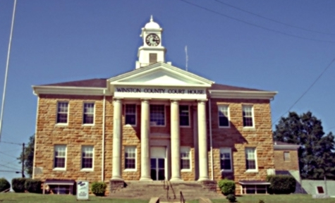
| winston county |
Search Winston County property records through GIS mapping. |
|
| wilcox county |
Search Wilcox County property records through GIS mapping. |
|
| washington county |
Search Washington County property records through GIS mapping. |
|
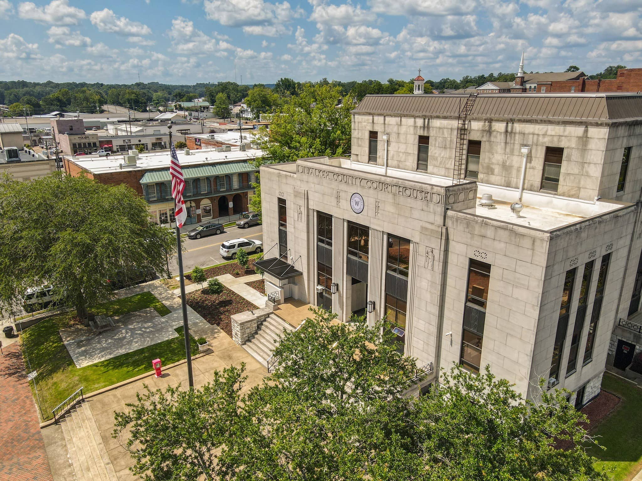
| walker county |
Search interactive Walker County GIS map for property tax and assessment records. Search by account number, parcel number, owner name, or address. |
|
| walker county |
View Walker County Commission district map. |
|
| tuscaloosa county |
View Tuscaloosa County floodplain information and floodplain maps. |
|
| tuscaloosa county |
Search Tuscaloosa County property records through GIS maps. |
|
| tuscaloosa county |
View Tuscaloosa County Sheriff's neighborhood crime mapping by incident. |
|
| tuscaloosa county |
View Tuscaloosa County GIS maps including aerial maps, street maps, topographic maps, and other maps. |
|
| tallapoosa county |
Search Tallapoosa County property records through GIS mappping |
|
| talladega county |
Search Talladega County property records through GIS mapping. |
|
| st clair county |
View St. Clair County flood damage prevention ordinance and flood management information including flood map. |
|
| st clair county |
View various maps of St. Clair County, including polling locations, precipitation, street locator, and fire districts. |
|
| shelby county |
Search Shelby County property records through GIS mapping. |
|
| russell county |
Search Russell County property records through GIS mapping. |
|
| pike county |
Search Pike County property records through GIS mapping. |
|
| pike county |
View Pike County Commission districts map. |
|
| pickens county |
Search Pickens County property records through GIS mapping. |
|
| perry county |
Search Perry County property records through GIS mapping. |
|
| perry county |
View a map of Perry County's major roads and towns. |
|
| morgan county |
Search Morgan County property appraisal records, real and personal property tax records by name, address or parcel number and GIS parcel maps. |
|
| morgan county |
View map of Morgan County's major roads and towns. |
|
| morgan county |
Search Morgan County recorded documents by name, book or date range including deeds, mortgages, judgments, corporations, UCCs, plats, marriages, probate cases, and elections. |
|
| montgomery county |
Search Montgomery County property records through GIS mapping. |
|
| mobile county |
View information about the City of Mobile Municipal Archive holdings, such as resolutions, petitions, tax lists, minutes, maps, charts and extensive correspondence from various departments. |
|
| mobile county |
Search interactive GIS maps of the City of Mobile, including parcel data, subdivisions, City Council districts, jurisdictional boundaries, addresses, color aerial photos, city services, and historic buildings. |
|
| mobile county |
View various maps of the City of Mobile, including Council districts, fire stations, police precincts and beats, school districts, zip codes, trails, and area maps. |
|
| mobile county |
View Mobile County voter registration and election information including district maps. |
|
| marshall county |
Search interactive GIS map of Marshall County for parcel data, roads, flood zones, aerial photos, voting districts, and more. |
|
| marshall county |
Search property records through Marshall County GIS mapping. |
|
| marion county |
Search Marion County property records through GIS mapping. |
|
| madison county |
View interactive and static GIS maps of the City of Huntsville, including property assessments, zoning, historical markers, burial locator, memorial brick locator, greenways, and GPS control monuments. |
|
| madison county |
Search Madison County property assessments, appraisal data, and parcel maps. |
|
| macon county |
Search Macon County property records through GIS maps. |
|
| lowndes county |
Search Lowndes County property records through GIS mapping. |
|
| limestone county |
View Limestone County Commission district maps, voting location maps, and 2002 to current election results. |
|
| lee county |
Search Lee County property assessments, tax records, and parcel maps by name, address, or parcel number. |
|
| lawrence county |
Search Lawrence County property records through GIS maps. |
|
| lauderdale county |
Search Lauderdale County property records through GIS mapping. |
|
| jefferson county |
Search City of Birmingham library catalog and databases including historic newspapers, photos, maps and genealogy resources such as yearbooks. |
|
| houston county |
View various GIS maps of the City of Dothan such as boundaries, flood zones, hydrological features, elevation contours, and points of interest maps. |
|
| houston county |
Search Houston County property records through GIS maps. |
|
| henry county |
Search Henry County property records through GIS mapping. |
|
| henry county |
View archive records from the Henry County Historical Society, such as cemetery burials, surnames, and historical maps. |
|
| greene county |
Search Greene County property records through GIS maps. |
|
| geneva county |
Search Geneva County property assessment records and parcel maps by account number, owner name, address, or legal description. |
|
| franklin county |
Search Franklin County property records through GIS mapping. |
|
| fayette county |
Search Fayette County property records through GIS mapping. |
|
| etowah county |
Search Etowah County property records through GIS mapping. |
|
| escambia county |
Search Escambia County property tax, assessment and appraisal records, as well as GIS maps. |
|
| dale county |
Search Dale County property records through GIS mapping. |
|
| dale county |
View Dale County Commission district map. |
|
| dale county |
View Dale County highway map. |
|
| cullman county |
Search Cullman County property tax records, appraisal records, and parcel maps. |
|
| coosa county |
Search Coosa County property records through GIS mapping. |
|
| conecuh county |
Search Conecuh County property records through GIS mapping. |
|
| colbert county |
Search Colbert County property records through GIS mapping. |
|
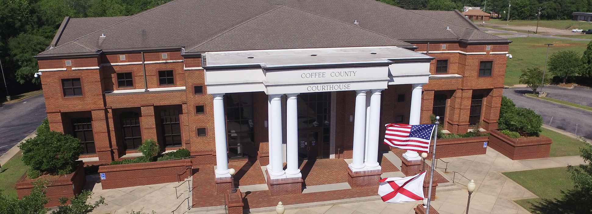
| coffee county |
Search Coffee County property records through GIS mapping. |
|
| cleburne county |
Search Cleburne County property records through GIS mapping. |
|
| clarke county |
Search Clarke County property tax records through GIS mapping. |
|
| choctaw county |
Search interactive Choctaw County GIS map for property assessment records. Search by owner name, address, or parcel number. |
|
| cherokee county |
Search Cherokee County property records by owner name, address, or parcel number through GIS mapping. |
|
| chambers county |
Search Chambers County GIS map for property tax and assessment records by account number, parcel number, owner name, or address. |
|
| calhoun county |
Search Calhoun County library databases, including genealogy, newspapers, magazines, environmental issues, maps, and general reference materials. An Anniston - Calhoun County Library card is required to access these resources. |
|
| calhoun county |
Search Calhoun County property records by owner name, address or parcel number through GIS mapping. |
|
| calhoun county |
View Calhoun County Commission district map with polling locations. |
|
| calhoun county |
Search Calhoun County tax parcels by owner name, parcel number or address including GIS maps. |
|
| butler county |
Search Butler County property records by owner name, address, or parcel number through GIS mapping. |
|
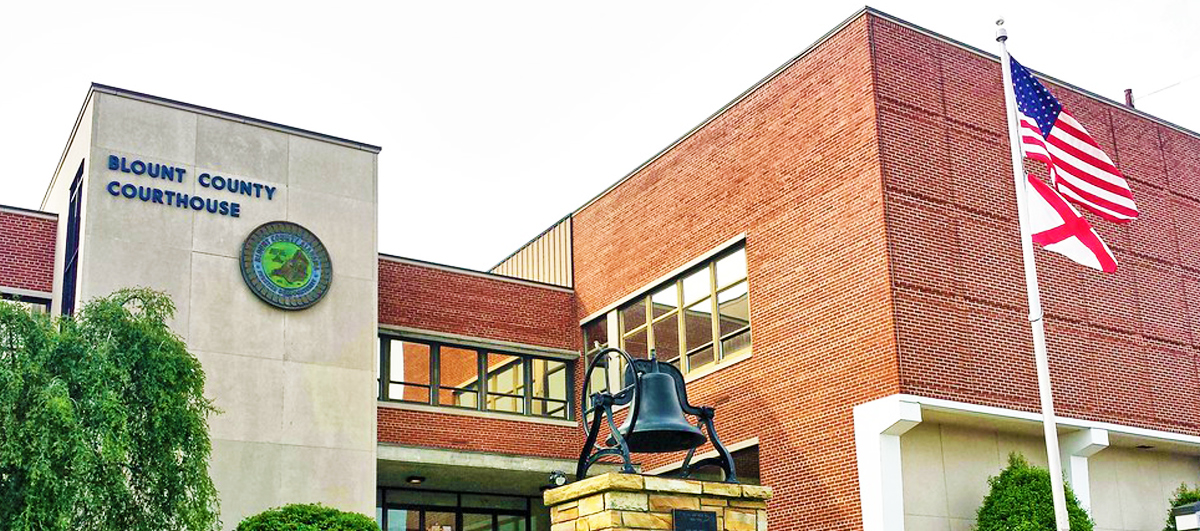
| blount county |
Search Blount County property tax, appraisal and assessment records by name, address or parcel number, and view tax maps by parcel number. |
|
| blount county |
Search Blount County property records by owner name or parcel number through GIS mapping. |
|
| bibb county |
Search Bibb County property assessment records by owner name, address, or parcel number through GIS maps. |
|
| baldwin county |
Search Baldwin County property and zoning maps. |
|
| baldwin county |
View Baldwin County road closure notices and detour maps. |
|
| baldwin county |
View Baldwin County voting district maps. |
|
| autauga county |
Search Autauga County property records by owner name, address or parcel number through GIS mapping. |
The information provided on this website about U.S. States, Counties, and Cities, is compiled from publicly available sources and is made available “as is” for informational purposes only. No representations, warranties or guarantees are made as to the accuracy, adequacy, reliability, currentness, completeness, suitability or applicability of the information contained on this website for any particular purpose. All 3rd party trademarks are for reference purposes only. PublicRecords.com powered by Intelius is a privately owned website and is not a direct source of government records or services and not affiliated with any government agency.
Below, you will find a list of offices in Alabama that may hold GIS maps. When requesting GIS records from these offices, it's important to be aware of any procedures, requirements, and fees associated with obtaining the records. Contacting the respective office directly will provide you with the most accurate and up-to-date information regarding access to GIS records in Alabama.
| Image | Office | Address | Phone |
|---|---|---|---|
 |
Russell County Revenue Commissioner Russell County Courthouse |
1000 Broad Street, Phenix City, AL 36867 | (334)-298-7011 |
 |
132 Military St. South, Hamilton, AL 35570 | (205)-921-3561 | |
 |
101 Court Square, Suite C, Abbeville, AL 36310 | (334)-585-3043, (334)-585-6153 | |
 |
Macon County Courthouse 210 North Elm St., Tuskegee, AL 36083 | (334)-724-2603 | |
 |
Crenshaw County Revenue Commissioner Crenshaw County Courthouse |
Crenshaw County Courthouse 29 South Glenwood Ave., Luverne, AL 36049 | (334)-335-6568 |
 |
25 Courthouse Square, Ashland, AL 36251 | (256)-354-2454 | |
 |
Franklin County Revenue Commissioner Franklin County Courthouse |
Franklin County Courthouse 410 Jackson Ave. North, Russellville, AL 35653 | (256)-332-8831 |
 |
Cullman County Revenue Commissioner Cullman County Courthouse, Room |
500 2nd Ave. S.W., Cullman, AL 35055 | (256)-775-4862 |
 |
Conecuh County Revenue Commissioner Conecuh County Courthouse |
111 Court Square, Evergreen, AL 36401 | (251)-578-7019 |
 |
114 Court Street, Grove Hill, AL 36451 | (251)-275-3376 | |
 |
1 Main St. South, Wedowee, AL 36278 | (256)-357-4343 | |
 |
700 Court Square, Greenville, AL 36037 | (334)-382-3221 | |
 |
Blount County Courthouse 220 2nd Avenue East, Room 105, Oneonta, AL 35121 | (205)-625-4117 | |
 |
Winston County Revenue Commissioner Winston County Courthouse |
Winston County Courthouse, 11 Blake Drive, Double Springs, AL 35553 | (205)-489-5166 |
 |
Washington County Revenue Commissioner Washington County Courthouse |
401 Court Street, Chatom, Al 36518 | (251)-847-2915 |
 |
Wilcox County Tax Assessor and Collector Wilcox County Courthouse |
Wilcox County Courthouse 100 Broad Street, Suite 102, Camden, AL 36726 | (334)-682-4625, (334)-682-4476 |
 |
Walker County Courthouse 1803 Third Ave., Suite 102, Jasper, AL 35501 | (205)-384-7293 | |
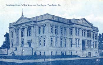 |
714 Greensboro Ave., Room 108, Tuscaloosa, AL 35401 | (205)-464-8240 | |
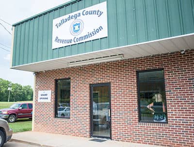 |
1 Courthouse Square, Talladega, AL 35161 | (256)-761-2123 | |
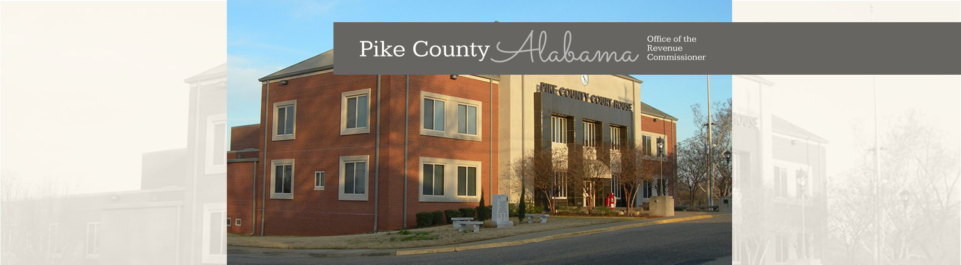 |
120 W Church St, Troy, AL 36081 | (334)-566-1792 | |
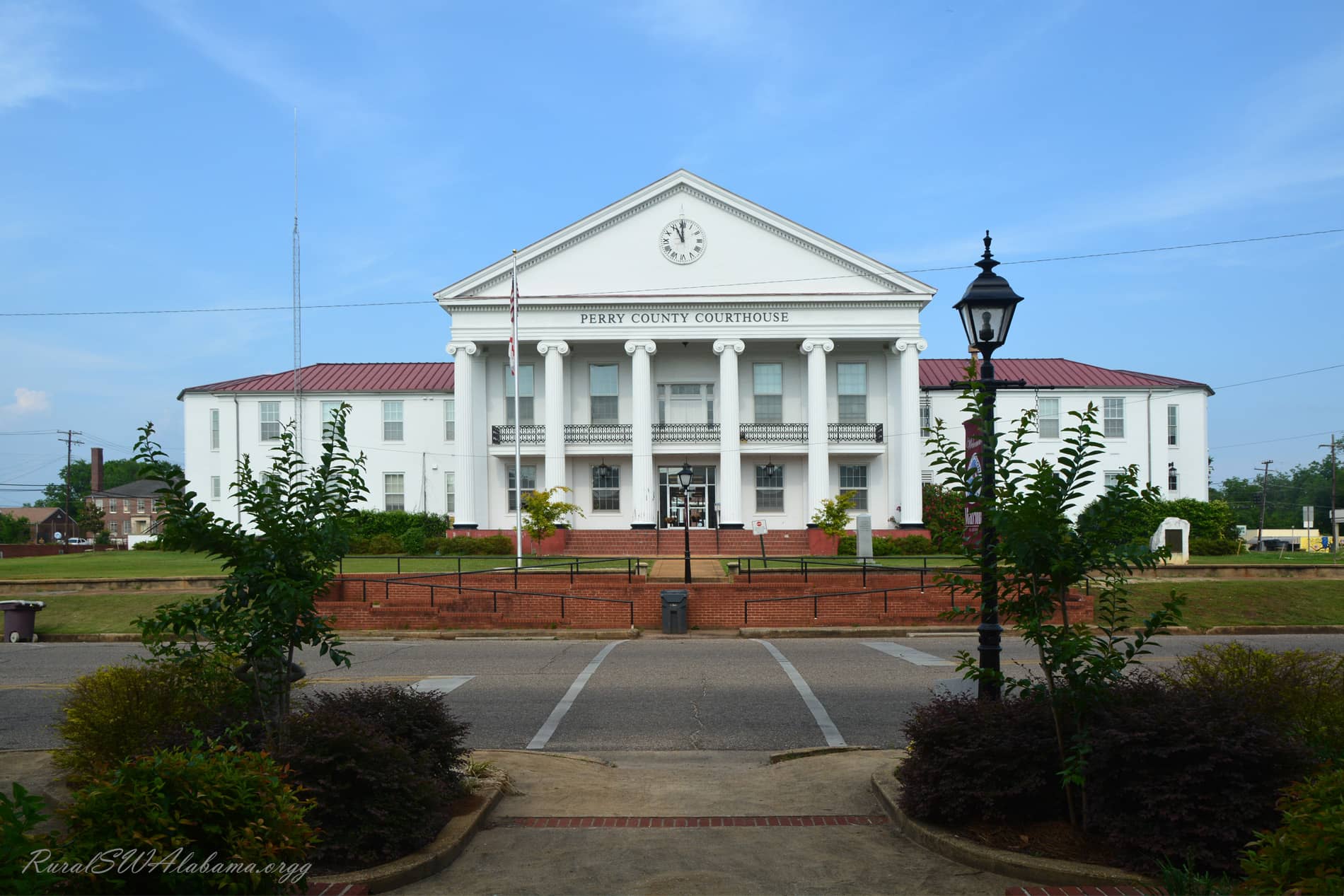 |
300 Washington St., Marion, AL 36756 | (334)-683-2219 | |
 |
Lowndes County Tax Assessor and Collector Lowndes County Courthouse, Hayneville, AL |
Lowndes County Courthouse, Hayneville, AL 36040 | (334)-548-2588, (334)-548-2175 |
 |
215 South 9th St., Opelika, AL 36801 | (334)-737-3655 | |
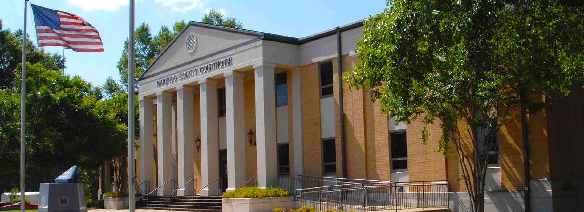 |
Marengo County Revenue Commissioner Marengo County Courthouse |
Marengo County Courthouse 101 East Coats Ave., Linden, AL 36748 | (334)-295-2214 |
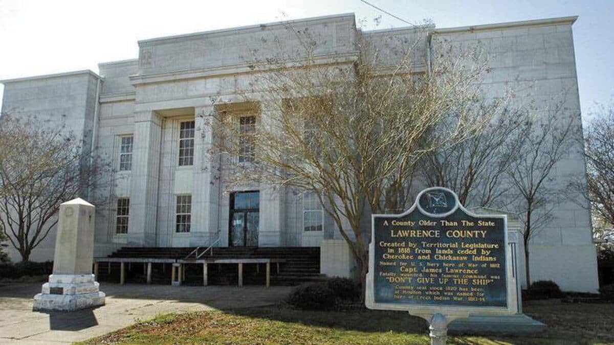 |
Lawrence County Revenue Commissioner Lawrence County Courthouse, Annex |
14451 Market Street, Suite 102, Moulton, AL 35650 | (256)-974-2473 |
 |
Lamar County Courthouse, 44690 Alabama 17, Vernon, AL 35592 | (205)-695-9139 | |
 |
462 North Oates St., Dothan, AL 36303 | (334)-677-4715 | |
 |
Fayette County Revenue Commissioner Fayette County Courthouse |
Fayette County Courthouse 113 Temple Ave. North, Fayette, AL 35555 | (205)-932-6081 |
 |
400 Morrow Ave., Eutaw, AL 35462 | (205)-372-3202 | |
 |
100 Court Square, Ozark, AL 36360 | (334)-774-2226 | |
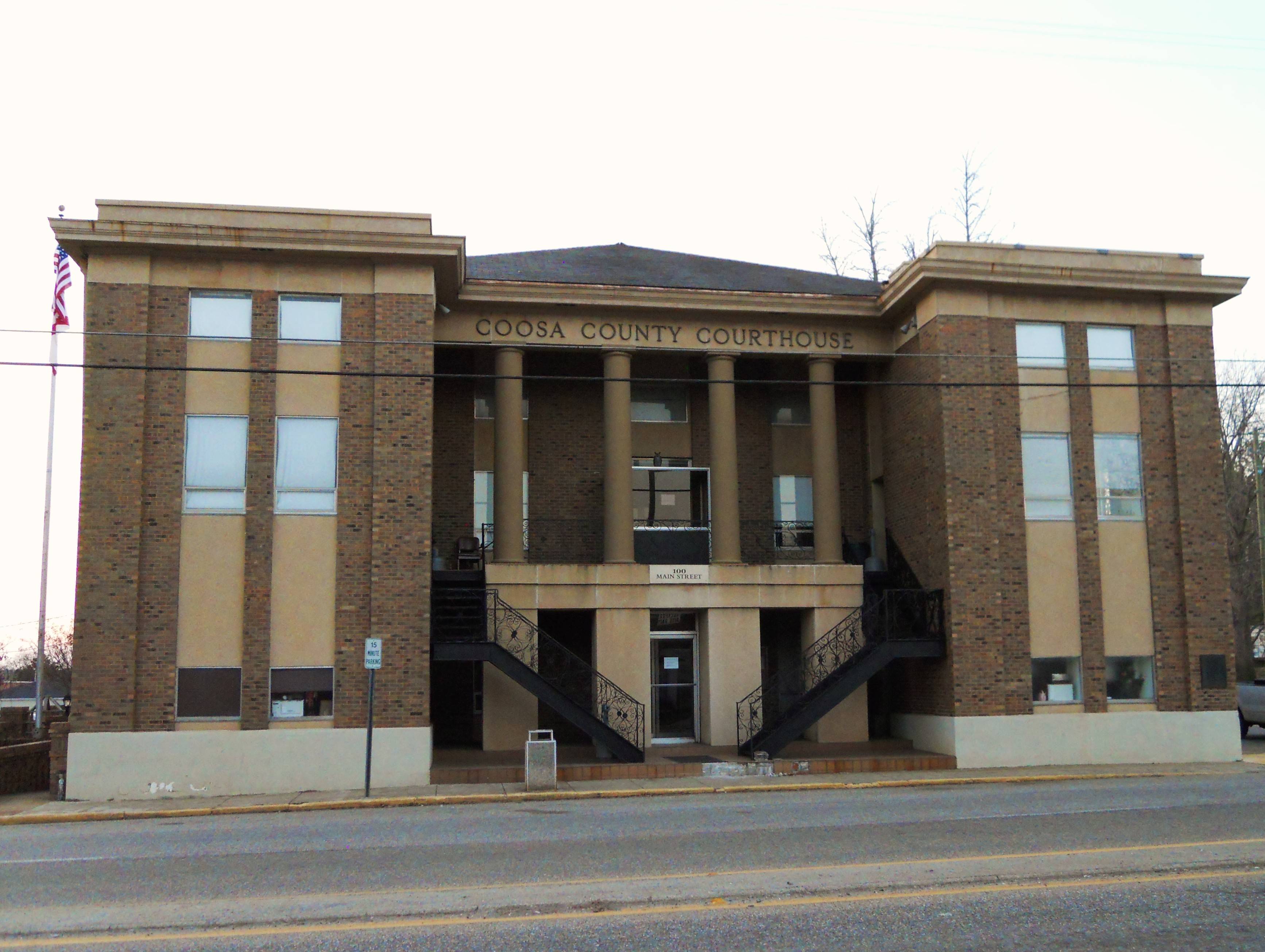 |
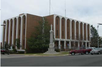
Coosa County Courthouse, 100 Main St., Rockford, AL 35136 | (256)-377-4916 | |
 |
1702 Noble St., Suite 104 and 106, Anniston, AL 36201 | (256)-241-2840 | |
 |
99 S. Edwards St., Enterprise, AL 36331 | (334)-347-8734, (334)-897-2475 | |
 |
Choctaw County Revenue Commissioner Choctaw County Courthouse |
(205)-459-3359 | |
 |
Chambers County Revenue Commissioner Chambers County Courthouse |
2 Lafayette St., Suite A , LaFayette, AL 36862 | (334)-864-4389, (706)-586-8232, (334)-864-4386, (706)-586-8404 |
 |
Bullock County Revenue Commissioner Bullock County Courthouse |
Bullock County Courthouse 217 North Prairie St., Room 102, Union Springs, AL 36089 | (334)-738-2888 |
 |
Bibb County Tax Assessor and Collector Bibb County Courthouse |
8 Court Square West, Suite B, Room 102, Centreville, AL 35042 | (205)-926-3105 |
 |
Barbour County Revenue Commissioner Barbour County Courthouse |
Barbour County Courthouse 303 East Broad St., Room 111, Eufaula, AL 36027 | (334)-687-7639 |
The information provided on this website about U.S. States, Counties, and Cities, is compiled from publicly available sources and is made available “as is” for informational purposes only. No representations, warranties or guarantees are made as to the accuracy, adequacy, reliability, currentness, completeness, suitability or applicability of the information contained on this website for any particular purpose. All 3rd party trademarks are for reference purposes only. PublicRecords.com powered by Intelius is a privately owned website and is not a direct source of government records or services and not affiliated with any government agency.
Compiled by: Chris E. | Reviewed by: Blake A. | Last update: 03/13/24
Alabama has a variety of GIS records that are accessible to anyone. These records encompass a wide range of data allowing individuals to access and review available information online. Records can include but are not limited to, land ownership maps, property lines maps, and cadastral mapping information. We compile our resource lists from reliable government agencies to ensure ease in your search.
If you couldn't find the resource you were searching for, go to the Alabama Property & Land Records page for other public records resources. Looking for something other than property and land tax records in Alabama? Search the database of all public records available.
Visit our Contact Us page to report any issues.
Use the citation tool to easily create a properly formatted citation or reference. Select the format you’d like to use and copy the link from the screen below.
The information provided on this website about U.S. States, Counties, and Cities, is compiled from publicly available sources and is made available “as is” for informational purposes only. No representations, warranties or guarantees are made as to the accuracy, adequacy, reliability, currentness, completeness, suitability or applicability of the information contained on this website for any particular purpose. All 3rd party trademarks are for reference purposes only. PublicRecords.com powered by Intelius is a privately owned website and is not a direct source of government records or services and not affiliated with any government agency.
This site contains REAL public records data including criminal records, background reports, photos, court documents, address information, phone numbers, civil judgments, properties owned, social media profiles, and much more.
PublicRecords.com powered by Intelius does not provide consumer reports and is not a consumer reporting agency under the Fair Credit Reporting Act. We provide information (criminal record, address, phone number, property, civil judgment, and more) that can be used to satisfy your curiosity, protect your family, and find the truth about people in your life. To use our site you must certify below that you agree to our Privacy Policy and Terms of Use and will NOT use our site or the information we provide:


