
Conduct a GIS records search in Colorado using our GIS records resources.
View our GIS records resources for the state of Colorado. Use these GIS records to search for land ownership maps, cadastral maps, or property line maps. GIS records may contain GIS property search records, property ownership maps, and other public GIS record information.

| County | Resource | Details |
|---|---|---|
|
Search and map Colorado sex offenders by address, city, county or zip code. |
||
|
Search Western States marriage records ranging from pre-1900s to 1930s. |
||
|
View Colorado GIS maps by agency including state, county or municipalities. |
||
| la plata county |
Search and map Colorado sex offenders by address, city, county or zip code. |
|
| la plata county |
Discover La Plata County's GIS services, offering detailed mapping and spatial data analysis to enhance your knowledge of the region's geography and infrastructure. |
|
| la plata county |
Explore interactive GIS maps of La Plata County, Colorado, for detailed property parcel information, accessible on mobile devices for your convenience. |
|
| la plata county |
Explore and download a variety of GIS datasets for La Plata County, Colorado. Access maps, addressing information, and more for your spatial analysis needs. |
|
| la plata county |
Explore and download a variety of GIS maps of La Plata County, CO, including subdivision, Animas Valley, Bayfield, and more for personal and professional use. |
|
| la plata county |
For addressing information in unincorporated La Plata County, contact the GIS Office at 970-382-6226 or visit the GIS Department at the La Plata County Courthouse for assistance. |
|
| teller county |
View Teller County GIS maps. |
|
| teller county |
Explore Teller County, CO with our interactive GIS map. View parcel boundaries, zoning, and more. Easy navigation and up-to-date information at your fingertips. |
|
| teller county |
Explore Teller County's GIS CO for detailed property records. Use the Assessor's database to search by owner name, legal description, and more. |
|
| teller county |
Explore Teller County's GIS services for detailed property information, maps, and spatial data resources in Colorado. |
|
| teller county |
The Teller County GIS CO team oversees the Master Street Address Guide, offering critical mapping support and solutions to 911 call centers and first responders. |
|
| alamosa county |
Search Adams County property tax and assessment records by address, parcel number, owner name or legal description. |
|
| alamosa county |
Search Alamosa County tax parcels through GIS maps. |
|
| alamosa county |
Explore GIS mapping and property valuation in Alamosa County, CO, ensuring fair assessments for all properties in compliance with state guidelines. |
|
| alamosa county |
Explore the detailed GIS map of Alamosa County, CO, to understand the zoning and land use patterns within the city limits, powered by Earthstar Geographics and Esri technology. |
|
| alamosa county |
Explore Alamosa County's GIS resources for detailed property tax information, payment schedules, and important deadlines. |
|
| alamosa county |
Explore Alamosa County's GIS data with the Tax Parcel Viewer. Access detailed tax parcel and assessment information with ease. Start your search now. |
|
| alamosa county |
Explore Alamosa County GIS CO data along with public records, property tax information, and assessor data through a comprehensive search. |
|
| costilla county |
Search Costilla County property tax and assessment records by owner name, parcel number, or address including GIS maps. |
|
| costilla county |
View Costilla County registered contractors by contractor name including address, phone number and email links. |
|
| costilla county |
Explore interactive GIS maps of Costilla and Conejos County, Colorado, for detailed property and geographical information. |
|
| costilla county |
The Costilla County Assessor's Office in Colorado is tasked with the accurate discovery, location, classification, and assessment of all properties within the jurisdiction, ensuring up-to-date and reliable property information. |
|
| costilla county |
Explore detailed property boundaries and ownership records in Costilla County, CO with our interactive GIS plat map. Discover parcel numbers, acreage, and more for free. |
|
| costilla county |
Explore interactive maps and access property information with the Costilla County GIS (Geographic Information System) tools. |
|
| costilla county |
Explore detailed property boundaries and GIS data for Costilla County, CO, with Regrid.com. Ideal for developers, government, and community projects. |
|
| ouray county |
View Ouray County GIS maps and parcel search. |
|
| ouray county |
Explore Ouray County with the GIS parcel viewer. Locate properties, zoom, capture screenshots, and customize your map with additional elements for detailed information. |
|
| ouray county |
Ouray County Assessor's Office - Property Valuation & GIS Mapping |
Explore GIS mapping and property valuation data in Ouray County, CO, provided by the official Assessor's Office for accurate real estate assessments. |
| ouray county |
Explore Ouray County GIS CO through EagleWeb for detailed parcel information, including owner names, account numbers, addresses, and legal descriptions. |
|
| ouray county |
Ouray County GIS Data & Mapping Tools - Colorado Property Insights |
Explore comprehensive property data and interactive mapping tools for Ouray County, CO. Access parcel geometries, associated records, and flood risk information from authoritative GIS databases. |
| weld county |
Search Weld County property tax and assessment records by owner name, account number, parcel number, address, or account number including GIS maps. |
|
| weld county |
Search Weld County recorded documents including real estate records, military discharges, maps and plats, and marriage licenses by name, document number, document type, and recording date. |
|
| weld county |
View City of Greeley registered sex offender map by name or address proximity. |
|
| weld county |
View City of Greeley GIS maps including parks finder, oil and gas wells, and more. |
|
| weld county |
View Weld County crime maps by event, offenders or date range. |
|
| weld county |
View Weld County maps including county road map, construction map, right of way map, and more maps. |
|
| weld county |
Discover and utilize interactive GIS maps for Weld County. Access and download Assessor's data, explore map features, and find property information with ease. |
|
| weld county |
Explore Weld County's GIS map for property information. Utilize the interactive map tool for real estate assessment and property details. |
|
| weld county |
Explore a wealth of geographic information with Weld County's GIS Hub. Access interactive maps, downloadable PDFs, and comprehensive GIS datasets for public use. |
|
| weld county |
Explore the latest GIS datasets provided by Weld County, CO. Access a comprehensive inventory of spatial information, updated weekly to ensure you have the most current data at your fingertips. |
|
| douglas county |
View Town of Parker floodplain information including maps. |
|
| douglas county |
View Town of Castle Rock annual traffic count maps from 2009 to present. |
|
| douglas county |
View Town of Castle Rock election district map. |
|
| douglas county |
View Town of Castle Rock GIS maps including parks and recreation map, development activity map, election districts map, and other maps. |
|
| douglas county |
View Town of Castle Rock town maps including parks and trail map, zoning map, snow route map, and other maps. |
|
| douglas county |
View Town of Parker crime reports including crime maps. |
|
| douglas county |
View Town of Parker maps such as parks map, trails map, and zoning map. |
|
| gunnison county |
Search Gunnison County property tax and assessment records by owner name, parcel number, account number, address or legal description including GIS maps and property sales search. |
|
| gunnison county |
View Gunnison County GIS maps and parcel search by owner name, parcel number, account number, or address. |
|
| gunnison county |
View Gunnison County parcel maps by township including parcel map index. |
|
| otero county |
View Otero County GIS maps including county map and state and federal lands map. |
|
| delta county |
View Delta County district road maps by area. |
|
| delta county |
View Delta County GIS maps. |
|
| logan county |
Search Logan County property tax and assessment records by name, address, or parcel id including GIS map search. |
|
| logan county |
View Logan County voter and election information including voting precinct maps. |
|
| kit carson county |
Search Kit Carson County property tax and assessment records by owner name, parcel id or location through GIS maps. |
|
| el paso county |
View City of Colorado Springs voter and election information including council district search and election maps. |
|
| el paso county |
View City of Colorado Springs crime maps including calls for service maps, meth lab seizure maps and truck route map. |
|
| el paso county |
View City of Colorado Springs maps including land use maps, neighborhood maps, and more. |
|
| chaffee county |
View Chaffee County voter and election information including election results and election maps. |
|
| pueblo county |
View City of Pueblo traffic volume map including 2011 to present. |
|
| pueblo county |
View Pueblo County voter and election information including polling places, election results and election precinct maps. |
|
| pueblo county |
View City of Pueblo GIS maps and other maps including community map, zoning map, transit map, and more. |
|
| pueblo county |
View Pueblo County GIS maps. |
|
| adams county |
View City of Thornton GIS maps such as annexation maps, floodplain maps, and more. |
|
| adams county |
Search Adams County property tax and assessment records by owner name, parcel number or street number through GIS maps. |
|
| adams county |
View City of Thornton voter and election information including general campaign information and ward maps. |
|
| adams county |
View Adams County voter and election information including polling locations, election results and election precinct maps. |
|
| adams county |
View City of Westminster maps including land use maps, school maps, zoning maps, park maps, and others. |
|
| mesa county |
Search Mesa County property tax and assessment records by address, parcel number or account number including GIS maps. |
|
| mesa county |
Search Mesa County tax parcels through GIS maps. |
|
| mesa county |
View City of Grand Junction recorded subdivision plats by plat name. |
|
| mesa county |
Search Mesa County survey records including survey plats and monument records. |
|
| mesa county |
Search Mesa County restaurant inspection scores by name or address including inspection map. |
|
| mesa county |
Search City of Grand Junction sex offender registry by address proximity and name including GIS maps. |
|
| mesa county |
Search Mesa County sex offender registry through address proximity or name. |
|
| mesa county |
Search Mesa County voter registration including election precinct maps. |
|
| mesa county |
View City of Grand Junction GIS maps including district maps, zoning maps, utilities map, and more. |
|
| mesa county |
View Mesa County GIS maps including aerial maps, land use maps, and more. |
|
| grand county |
Search Grand County parcel maps by number. |
|
| grand county |
View Grand County GIS maps including plat maps and election maps. |
|
| grand county |
Search Grand County survey records including plat indexes, historical maps, railroad maps, right of way maps, and more. |
|
| grand county |
View Grand County voter and election information including election precinct maps and election results. |
|
| larimer county |
View information about City of Fort Collins cemeteries including cemetery maps through GIS maps. |
|
| larimer county |
View information about City of Loveland cemeteries including historical information and layout map with numbered sections. |
|
| larimer county |
Search Larimer County sex offender records by city through GIS map. |
|
| larimer county |
View City of Fort Collins traffic count maps. |
|
| larimer county |
View City of Fort Collins crime maps by category and date range. |
|
| larimer county |
View City of Fort Collins GIS maps including aerial photos, cemetery maps, floodplains, parcel maps, and other maps. |
|
| larimer county |
Search City of Loveland crime maps by crime type, address or date range. |
|
| larimer county |
View Larimer county Sheriff crime maps by event or date range. |
|
| larimer county |
View Larimer County maps including online GIS maps, census maps, road closures map, zoning maps, and more maps. |
|
| lake county |
View Lake County maps including interactive GIS maps, floodplain maps, road map, city zoning maps, and other maps. |
|
| arapahoe county |
View City of Aurora Police crime maps by incident type and date range. |
|
| arapahoe county |
View City of Aurora GIS maps including bike trails, zoning, political boundaries, aerial photos, and other map layers. |
|
| arapahoe county |
View City of Littleton Police crime maps by event or date range. |
|
| eagle county |
View Eagle County floodplain information including floodplain maps. |
|
| eagle county |
View Eagle County voter and election information including polling locations, election results and election precinct maps. |
|
| dolores county |
Search Dolores County property tax and assessment records by owner name, address or parcel number including GIS maps. |
|
| rio blanco county |
View Rio Blanco County voter and election information including polling places, election results and election precinct maps. |
|
| rio blanco county |
View Rio Blanco County GIS maps including boundary map, parcel map, city map, and other maps. |
|
| archuleta county |
Search Archuleta County property tax and assessment records by owner name, address or subdivision including GIS maps. |
|
| archuleta county |
View Archuleta County voter and election information including election results and election maps. |
|
| jefferson county |
View Jefferson County floodplain information including floodplain maps. |
|
| jefferson county |
View Jefferson County GIS maps including parcel search by address or parcel id. |
|
| jefferson county |
View Jefferson County parcel maps. |
|
| jefferson county |
Search Jefferson County survey records including benchmarks, monument records and land surveys. |
|
| jefferson county |
Search Jefferson County voter and election information including election results, election maps and voter registration search. |
|
| jefferson county |
View City of Arvada GIS and other maps by department including Parks and Recreation, Planning and Zoning, Transportation, and more. |
|
| jefferson county |
Search Jefferson County Sheriff crime maps by crime type or date range. |
|
| jefferson county |
View Jefferson County maps including district map. |
|
| summit county |
Search Summit County property tax and assessment records by owner name, address, and description through GIS maps. |
|
| park county |
View Park County voter and election information including voting precinct maps and election results. |
|
| park county |
View Park County GIS maps including township map, zoning map, and others. |
|
| park county |
View Park County maps including interactive map. |
|
| pitkin county |
View Pitkin County GIS maps including parcel search. |
|
| pitkin county |
View Pitkin County maps including trails and parks, zoning maps, and other maps. |
|
| boulder county |
Search for Boulder County property tax and assessment records by owner name, address, account number or parcel number including GIS mapping. |
|
| boulder county |
View City of Boulder survey records including benchmarks, intersection pins and monuments. |
|
| boulder county |
View City of Longmont maps such as city, survey maps, election maps, and more. |
|
| boulder county |
View Boulder County voter and election information including voter and ballot lookup, election maps and election results. |
|
| boulder county |
Search City of Longmont crime maps by crime type. |
|
| boulder county |
View Boulder County maps including fire maps, recreation maps, survey control maps, and other maps. |
|
| broomfield county |
Search interactive Broomfield County GIS map for floodplains by street address or parcel ID. |
|
| broomfield county |
View various static Broomfield County GIS maps including streets, floodplains, open space and trails, GPS monuments, parcel search, tax areas, zoning, subdivisions, plats, and voting precincts. |
|
| broomfield county |
Search interactive City and County of Broomfield GIS map for property assessment records. Search by street address or parcel ID. |
|
| broomfield county |
View maps of the City of Broomfield wards, voting precincts, streets, and school districts. |
|
| clear creek county |
Search Clear Creek County GIS maps by account number, address, parcel number or owner name. |
|
| fremont county |
View Fremont County GIS maps including zoning maps and parcel search by address, owner name, or map number. |
|
| phillips county |
View Phillips County voter and election information including voting district map. |
|
| garfield county |
View Garfield County maps including county road maps, election maps, floodplain maps, and more. |
|
| garfield county |
View Garfield County GIS maps including tax parcel maps. |
|
| garfield county |
View Garfield County voter and election information including election results and election precinct map. |
|
| denver county |
View Denver County land survey records including monument sheets, subdivision maps, and more |
|
| denver county |
Search Denver County crime maps by address, location or neighborhood. |
|
| denver county |
View Denver County maps including property, public safety and government maps. |
|
| montrose county |
View Montrose County Commissioner districts map. |
|
| montrose county |
View Montrose County map book including road maintenance levels map and County water rights filings map. |
|
| montezuma county |
View Montezuma County maps including zoning map, County road map, voter precinct map and other maps. |
The information provided on this website about U.S. States, Counties, and Cities, is compiled from publicly available sources and is made available “as is” for informational purposes only. No representations, warranties or guarantees are made as to the accuracy, adequacy, reliability, currentness, completeness, suitability or applicability of the information contained on this website for any particular purpose. All 3rd party trademarks are for reference purposes only. PublicRecords.com powered by Intelius is a privately owned website and is not a direct source of government records or services and not affiliated with any government agency.
Below, you will find a list of offices in Colorado that may hold GIS maps. When requesting GIS records from these offices, it's important to be aware of any procedures, requirements, and fees associated with obtaining the records. Contacting the respective office directly will provide you with the most accurate and up-to-date information regarding access to GIS records in Colorado.
| Image | Office | Address | Phone |
|---|---|---|---|
 |
544 Rood Ave., Grand Junction, CO 81501 | (970)-244-1610 | |
 |
221 North Wisconsin St., Suite A, Gunnison, CO 81230 | (970)-641-1085 | |
 |
400 Gasper St., Room 104, San Luis, CO 81152 | (719)-937-7670 | |
 |
1 Descombes Drive, Broomfield, CO 80020 | (303)-464-5819 | |
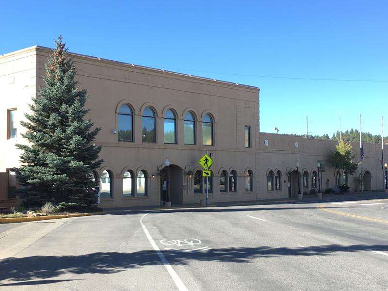 |
449 San Juan St, Pagosa Springs, CO 81147 | (970)-264-8310 | |
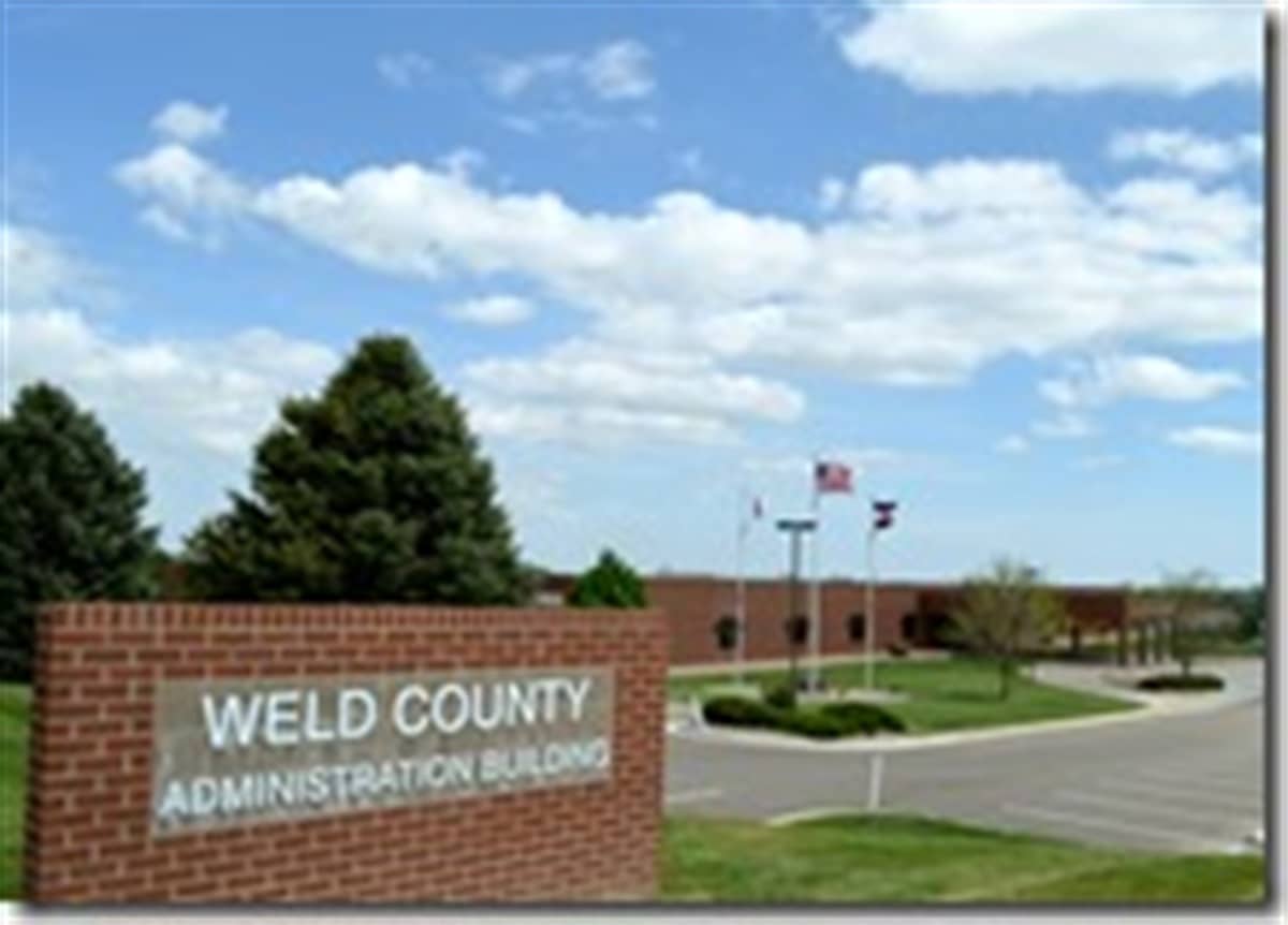 |
1400 North 17th Ave., Greeley, CO 80631 | (970)-353-3845 | |
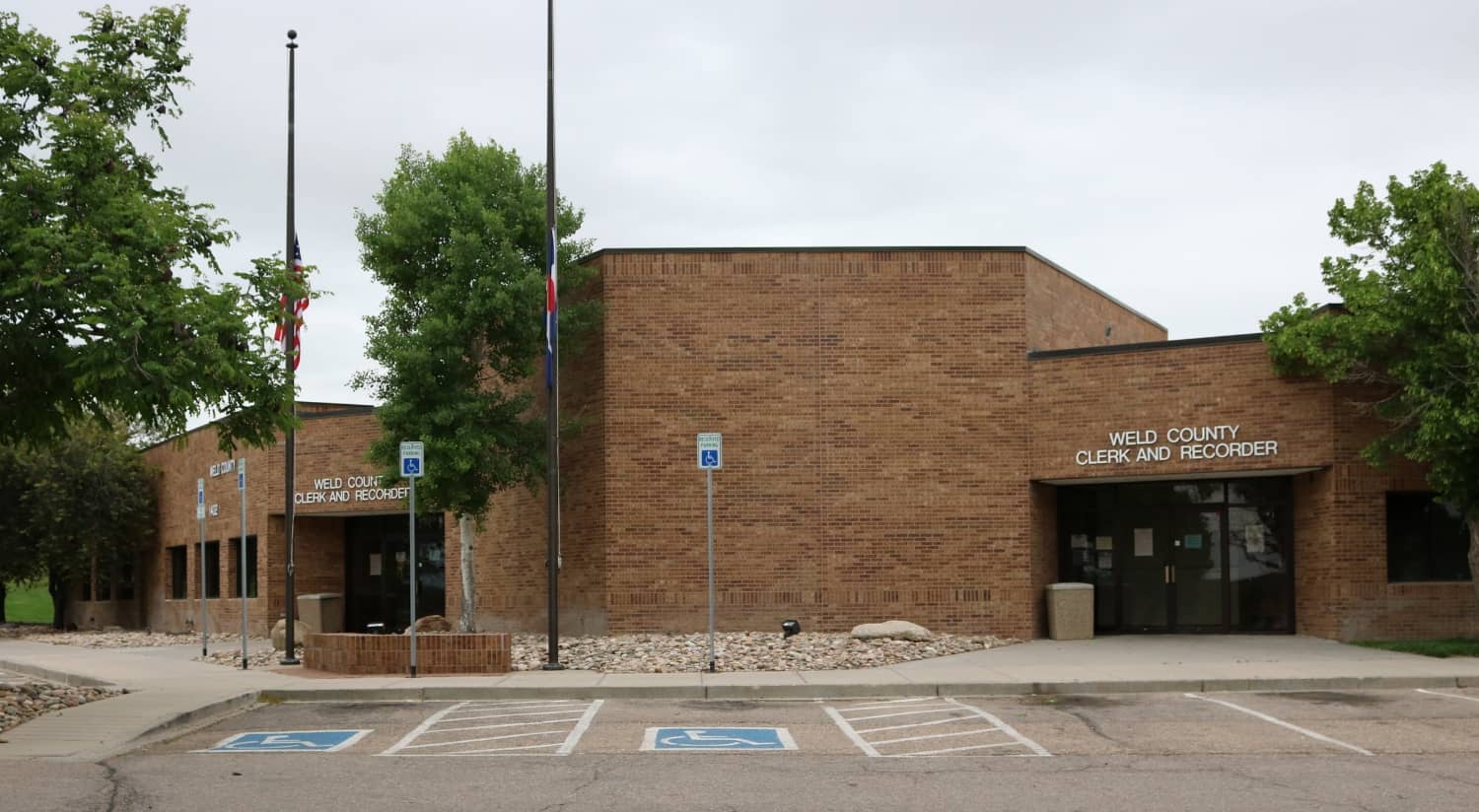 |
1402 North 17th Ave., Greeley, CO, 80631 | (970)-353-3840 | |
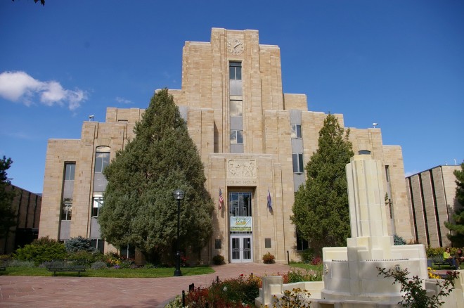 |
1325 Pearl St., Second Floor, Boulder, CO 80302 | (303)-441-3530 | |
 |
215 W 10th St, Pueblo, CO 81003 | (719)-583-6507 |
The information provided on this website about U.S. States, Counties, and Cities, is compiled from publicly available sources and is made available “as is” for informational purposes only. No representations, warranties or guarantees are made as to the accuracy, adequacy, reliability, currentness, completeness, suitability or applicability of the information contained on this website for any particular purpose. All 3rd party trademarks are for reference purposes only. PublicRecords.com powered by Intelius is a privately owned website and is not a direct source of government records or services and not affiliated with any government agency.
Compiled by: Chris E. | Reviewed by: Blake A. | Last update: 03/13/24
Colorado has a variety of GIS records that are accessible to anyone. These records encompass a wide range of data allowing individuals to access and review available information online. Records can include but are not limited to, land ownership maps, property lines maps, and cadastral mapping information. We compile our resource lists from reliable government agencies to ensure ease in your search.
If you couldn't find the resource you were searching for, go to the Colorado Property & Land Records page for other public records resources. Looking for something other than property and land tax records in Colorado? Search the database of all public records available.
Visit our Contact Us page to report any issues.
Use the citation tool to easily create a properly formatted citation or reference. Select the format you’d like to use and copy the link from the screen below.
The information provided on this website about U.S. States, Counties, and Cities, is compiled from publicly available sources and is made available “as is” for informational purposes only. No representations, warranties or guarantees are made as to the accuracy, adequacy, reliability, currentness, completeness, suitability or applicability of the information contained on this website for any particular purpose. All 3rd party trademarks are for reference purposes only. PublicRecords.com powered by Intelius is a privately owned website and is not a direct source of government records or services and not affiliated with any government agency.
This site contains REAL public records data including criminal records, background reports, photos, court documents, address information, phone numbers, civil judgments, properties owned, social media profiles, and much more.
PublicRecords.com powered by Intelius does not provide consumer reports and is not a consumer reporting agency under the Fair Credit Reporting Act. We provide information (criminal record, address, phone number, property, civil judgment, and more) that can be used to satisfy your curiosity, protect your family, and find the truth about people in your life. To use our site you must certify below that you agree to our Privacy Policy and Terms of Use and will NOT use our site or the information we provide:


