
Conduct a GIS records search in Indiana using our GIS records resources.
View our GIS records resources for the state of Indiana. Use these GIS records to search for land ownership maps, cadastral maps, or property line maps. GIS records may contain GIS property search records, property ownership maps, and other public GIS record information.

| County | Resource | Details |
|---|---|---|
|
View Indiana state-owned land records including interactive property map with aerial photos. |
||
|
View Indiana voter reports by county and statewide including election district maps. |
||
| posey county |
Search Posey County property tax and assessment records through GIS maps. |
|
| posey county |
Explore interactive maps of Posey County, Indiana with GIS data for property, zoning, and geographical information. |
|
| posey county |
Explore the Posey County GIS portal for detailed property assessments and geographical information. Engage with your local Indiana assessors' office online at no charge. |
|
| posey county |
Explore Posey County's GIS resources for detailed property assessments and geographical data insights, provided by the Posey County Assessor's Office. |
|
| posey county |
Explore interactive maps and access property tax information for Posey County, Indiana, through the official GIS portal. |
|
| lawrence county |
Search Lawrence County property tax record through GIS maps. |
|
| lawrence county |
Explore interactive maps and stay informed with live updates on events across Lawrence County, Indiana. |
|
| lawrence county |
Explore GIS maps and land records in Lawrence County, Indiana. The Surveyor's Office provides essential data for property boundaries and local geography. |
|
| lawrence county |
Explore the geographic information systems (GIS) of Lawrence County, Indiana, for detailed property assessments and county data. |
|
| lawrence county |
Lawrence County Indiana GIS Transition to WTH ThinkGIS Platform |
Lawrence County, Indiana, is transitioning its GIS platform to WTH Engineering's ThinkGIS this fall, enhancing geographic data services for over 30 counties without a dedicated mobile app. |
| lawrence county |
Explore a comprehensive collection of FREE GIS maps and data for Lawrence County, Indiana, with ease. Access detailed property and geographical information from official sources. |
|
| lawrence county |
Explore Lawrence County, Indiana's land records with the Geographic Information System (GIS) eGIS, a user-friendly web application for property assessment and taxation information. |
|
| kosciusko county |
Search Kosciusko County property tax and assessment records through GIS maps including aerial photos. |
|
| kosciusko county |
View Kosciusko County GIS maps. |
|
| kosciusko county |
View Kosciusko County historic maps by year. |
|
| kosciusko county |
View Kosciusko County precinct maps. |
|
| kosciusko county |
View Kosciusko County maps including districts maps, township maps, watershed map, and other maps. |
|
| whitley county |
Search Whitley County property records by name, address, parcel id, map id or subdivision including GIS maps. |
|
| wells county |
View Wells County Surveyor records including section corners. |
|
| wells county |
Search Wells County property records by name or address through GIS maps. |
|
| washington county |
Search for Washington County property tax and assessment records by name, address, or parcel ID including GIS maps. |
|
| warren county |
Search Warren County property tax and assessment records by name, address or parcel id including GIS maps. |
|
| vigo county |
View information about City of Terre Haute cemeteries including cemetery maps. |
|
| vigo county |
City of Terre Haute Ordinances, Meeting Agendas and District Maps |
View City of Terre Haute City Council ordinances, meeting agendas and council district maps. |
| vigo county |
Search Vigo County property tax records by name, address, or parcel number and GIS maps. |
|
| vigo county |
View Vigo County flood maps. |
|
| vigo county |
View Vigo County maps including council districts map, Vigo Couty, and other maps. |
|
| vermillion county |
Search Vermillion County property records through GIS maps. |
|
| vanderburgh county |
Search Vanderburgh County survey records through GIS maps. |
|
| vanderburgh county |
Search the City of Evansville crime incident map by crime type and date range. |
|
| vanderburgh county |
Search Vanderburgh County GIS maps. |
|
| union county |
Search Union County property tax and assessment records through GIS maps. |
|
| tipton county |
Search Tipton County property records through GIS maps. |
|
| tippecanoe county |
View Tippecanoe County traffic count maps. |
|
| tippecanoe county |
View Tippecanoe County township map. |
|
| tippecanoe county |
View City of Lafayette crime maps including incident layers and date range. |
|
| tippecanoe county |
Search Tippecanoe County GIS maps. |
|
| switzerland county |
Search Switzerland County property records through GIS maps. |
|
| steuben county |
Search Steuben County property records through GIS maps. |
|
| starke county |
Search Starke County property records through GIS maps. |
|
| st joseph county |
View St. Joseph County Surveyor records including survey data and section corner maps. |
|
| st joseph county |
View City of South Bend Police crime statistics and crime maps. |
|
| st joseph county |
View St. Joseph County GIS maps. |
|
| st joseph county |
View St. Joseph County voting precinct maps. |
|
| st joseph county |
View St. Joseph County and other city zoning maps. |
|
| spencer county |
Search Spencer County property tax and assessment records by name, address or parcel id including GIS maps. |
|
| scott county |
Search Scott County property tax and assessment records by name, address or parcel id including GIS maps. |
|
| rush county |
Search Rush County property tax and assessment records by address, name or parcel number including GIS maps. |
|
| ripley county |
Search Ripley County property tax and assessment records by name, address or parcel id including GIS maps |
|
| randolph county |
Search Randolph County property tax and assessment records including GIS maps. |
|
| putnam county |
Search Putnam County property tax and assessment records including GIS maps. |
|
| pulaski county |
Search Pulaski County property tax records through GIS maps. |
|
| porter county |
View Porter County GIS maps including parcel search. |
|
| porter county |
Search Porter County property tax records or pay property taxes online including GIS maps. |
|
| pike county |
Search Pike County property tax records through GIS maps. |
|
| owen county |
Search Owen County tax parcels through GIS maps. |
|
| noble county |
Search Noble County property tax and assessment records by address, name or parcel id through GIS maps. |
|
| noble county |
Search Noble County available commercial and industrial real estate. |
|
| noble county |
View Noble County maps including transportation maps, educational facilities map, and other maps. |
|
| newton county |
Search Newton County property tax and assessment records through GIS maps. |
|
| newton county |
View Newton County GIS maps. |
|
| morgan county |
Search Morgan County property tax and assessment records by name, address or parcel id including GIS maps. |
|
| montgomery county |
Search Montgomery County property tax and assessment records by address, name or parcel id through GIS maps. |
|
| monroe county |
View City of Bloomington road closings map including list of road closings. |
|
| monroe county |
Search Monroe County property tax and assessment records by address, name or parcel id through GIS maps. |
|
| miami county |
View Miami County traffic status map. |
|
| miami county |
Search Miami County property records through GIS maps. |
|
| martin county |
Search Martin County property records through GIS maps. |
|
| marshall county |
Search Marshall County property records by name, address, parcel id, neighborhood or map id including GIS maps. |
|
| marion county |
View City of Lawrence GIS maps including council district maps. |
|
| madison county |
View City of Anderson GIS maps. |
|
| lake county |
View Lake County survey records through GIS maps. |
|
| lake county |
View Lake County GIS maps including district maps. |
|
| lagrange county |
Search LaGrange County property records by name, address, or parcel id including GIS maps. |
|
| laporte county |
Search for La Porte County property assessment records and parcel maps by name, address, or parcel ID. |
|
| laporte county |
View La Porte County voting precinct maps, current list of polling locations, election results from 2008 to present, and information about voter registration and absentee ballots. |
|
| laporte county |
View La Porte County zoning maps by township name. |
|
| knox county |
Search Knox County property tax and assessment records through GIS Maps. |
|
| johnson county |
Search Johnson County property tax and assessment records through GIS maps. |
|
| johnson county |
View Johnson County precinct maps. |
|
| johnson county |
View Johnson County voter registration locations through GIS map. |
|
| jennings county |
Search Jennings County property tax and assessment records through GIS maps. |
|
| jefferson county |
Search Jefferson County property tax records through GIS maps. |
|
| jay county |
Search for Jay County real property and personal property tax records and parcel maps by owner name, address, tax map number, parcel number, or legal description. |
|
| jasper county |
Search Jasper County property tax and assessment records by name through GIS maps. |
|
| jackson county |
View Jackson County property tax records through GIS maps. |
|
| huntington county |
Search Huntington County property tax and assessment records through GIS maps. |
|
| howard county |
View Howard County survey section corners through GIS map. |
|
| howard county |
Search Howard County property tax and assessment records by name, address or parcel id including GIS maps. |
|
| henry county |
Search Henry County property tax parcels by parcel number, owner name, or property address through GIS maps. |
|
| hendricks county |
View Hendricks County flood maps by map number including index map. |
|
| hendricks county |
Search Hendricks County GIS maps including parcel search. |
|
| harrison county |
Search Harrison County property tax and assessment records through GIS mapping. |
|
| hancock county |
View Hancock County boundary and land use maps. |
|
| hancock county |
Search Hancock County property tax and assessment records through GIS maps. |
|
| hancock county |
View Hancock County Council District map. |
|
| hamilton county |
Search Hamilton County Surveyor records including benchmarks and survey corners. |
|
| hamilton county |
View City of Fishers GIS maps including flood zones, zoning, and other maps. |
|
| hamilton county |
View Hamilton County flood maps. |
|
| hamilton county |
View Hamilton County GIS maps including highway maps and parks maps. |
|
| hamilton county |
View Hamilton County voting precinct maps. |
|
| grant county |
Search Grant County property tax and assessment records through GIS maps. |
|
| gibson county |
Search Gibson County property tax records through GIS maps. |
|
| fulton county |
Search Fulton County property tax and assessment records by address, name or parcel number through GIS maps. |
|
| franklin county |
Search Franklin County property tax and assessment records through GIS maps. |
|
| floyd county |
View Floyd County GIS maps including parcel search. |
|
| floyd county |
View Floyd County precinct map. |
|
| fayette county |
Search Fayette County property tax and assessment records by address through GIS maps. |
|
| elkhart county |
View City of Elkhart cemetery maps by cemetery name. |
|
| elkhart county |
Search Elkhart County property tax records including aerial photography through GIS maps. |
|
| elkhart county |
View City of Elkhart Council district maps. |
|
| delaware county |
Search Delaware County property tax and assessment records by name or address including GIS maps. |
|
| delaware county |
Search Delaware County GIS maps including tax parcel search. |
|
| dekalb county |
Search DeKalb County GIS maps including tax parcel search. |
|
| decatur county |
View Decatur County survey records such as field books by township and range. |
|
| decatur county |
Search Decatur County property tax and assessment records by address, parcel id or name through GIS maps. |
|
| dearborn county |
View Dearborn County GIS maps. |
|
| dearborn county |
View Dearborn County maps including zoning maps, existing land use maps and service maps such as road map, flood hazard map, utility coverage areas, and more. |
|
| crawford county |
Search Crawford property tax and assessment records through GIS maps. |
|
| clinton county |
Search Clinton County property tax and assessment records including sales through GIS maps. |
|
| clark county |
View Clark County district maps. |
|
| cass county |
Search Cass County property tax and assessment records by name, address or parcel number through GIS maps. |
|
| carroll county |
Search Carroll County property tax and assessment records by name, address, parcel id or legal description including GIS maps. |
|
| boone county |
Search Boone County property tax and assessment records by name, address or parcel number through GIS maps. |
|
| blackford county |
Search Blackford County property tax and assessment records by name, address or parcel number through GIS maps. |
|
| benton county |
Search interactive Benton County GIS map for property sales and assessment records. Search by address, parcel number, or owner name. Map also provides aerials, voting precincts, and flood plains. |
|
| bartholomew county |
Search Bartholomew property tax and assessment records through GIS maps. |
|
| allen county |
View City of Fort Wayne maps including traffic maps, street maps, and more. |
|
| allen county |
Search Allen County available commercial and industrial real estate by property type, purchase options, property size, address, zip code or zoning. |
|
| allen county |
View Allen County floodplain information including maps. |
|
| allen county |
View Allen County GIS maps. |
|
| allen county |
View Allen County polling locations by precinct including precinct maps. |
|
| allen county |
View Allen County property record cards, aerial photos, tax amounts, exemption information, and more. |
|
| adams county |
Search and view Adams County GIS maps including property information and voting precincts. |
|
| adams county |
View Adams County Sheriff sales information including list of properties by sale date through GIS maps. |
|
| warrick county |
View Warrick County survey records including section corner reference cards including section corner reference map. |
The information provided on this website about U.S. States, Counties, and Cities, is compiled from publicly available sources and is made available “as is” for informational purposes only. No representations, warranties or guarantees are made as to the accuracy, adequacy, reliability, currentness, completeness, suitability or applicability of the information contained on this website for any particular purpose. All 3rd party trademarks are for reference purposes only. PublicRecords.com powered by Intelius is a privately owned website and is not a direct source of government records or services and not affiliated with any government agency.
Below, you will find a list of offices in Indiana that may hold GIS maps. When requesting GIS records from these offices, it's important to be aware of any procedures, requirements, and fees associated with obtaining the records. Contacting the respective office directly will provide you with the most accurate and up-to-date information regarding access to GIS records in Indiana.
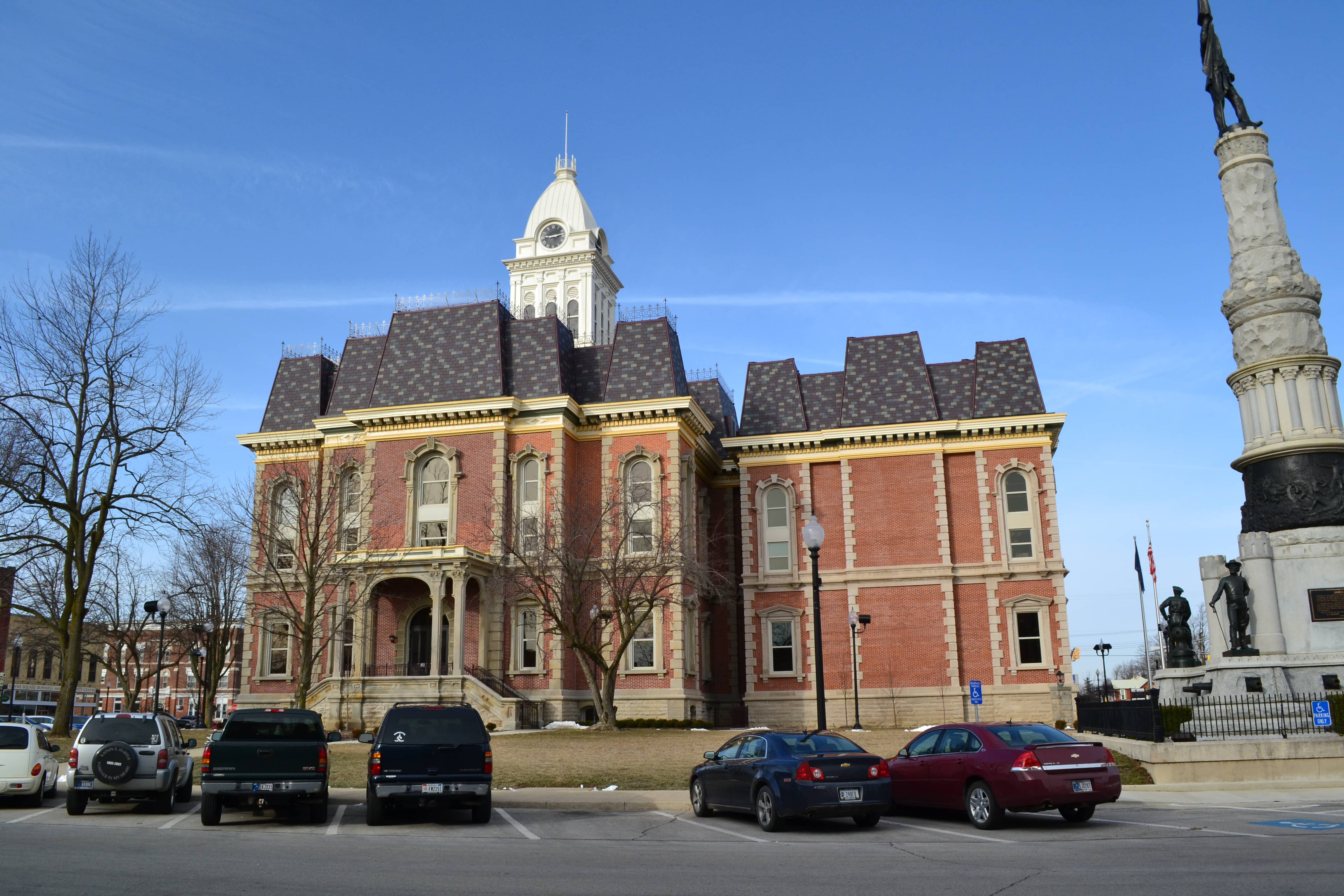
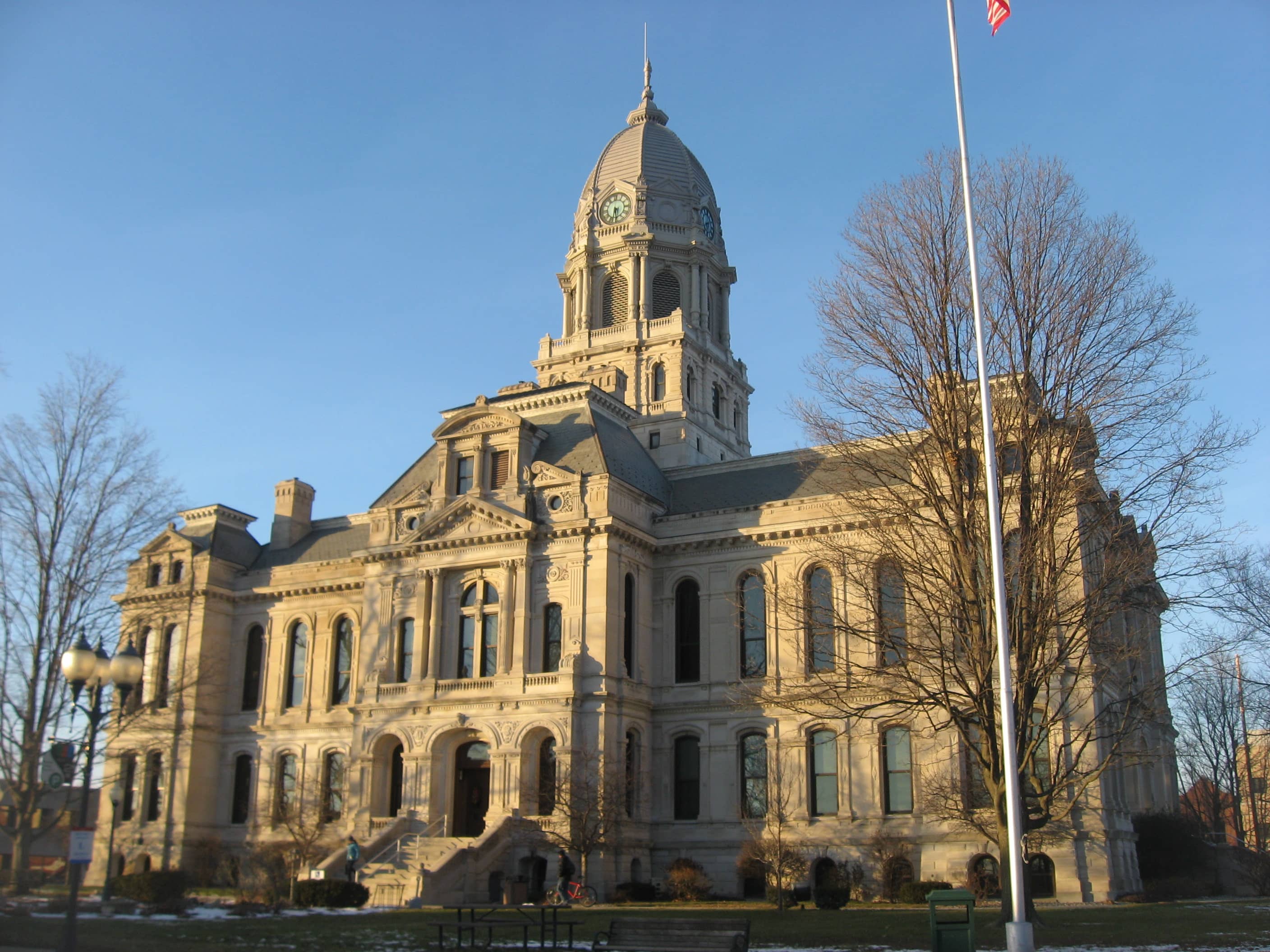
| Image | Office | Address | Phone |
|---|---|---|---|
 |
220 North Main St., Room 336, Kokomo, IN 46901 | (765)-456-2211 | |
 |
111 N 7th St #4, Vincennes, IN 47591 | (812)-885-2513 | |
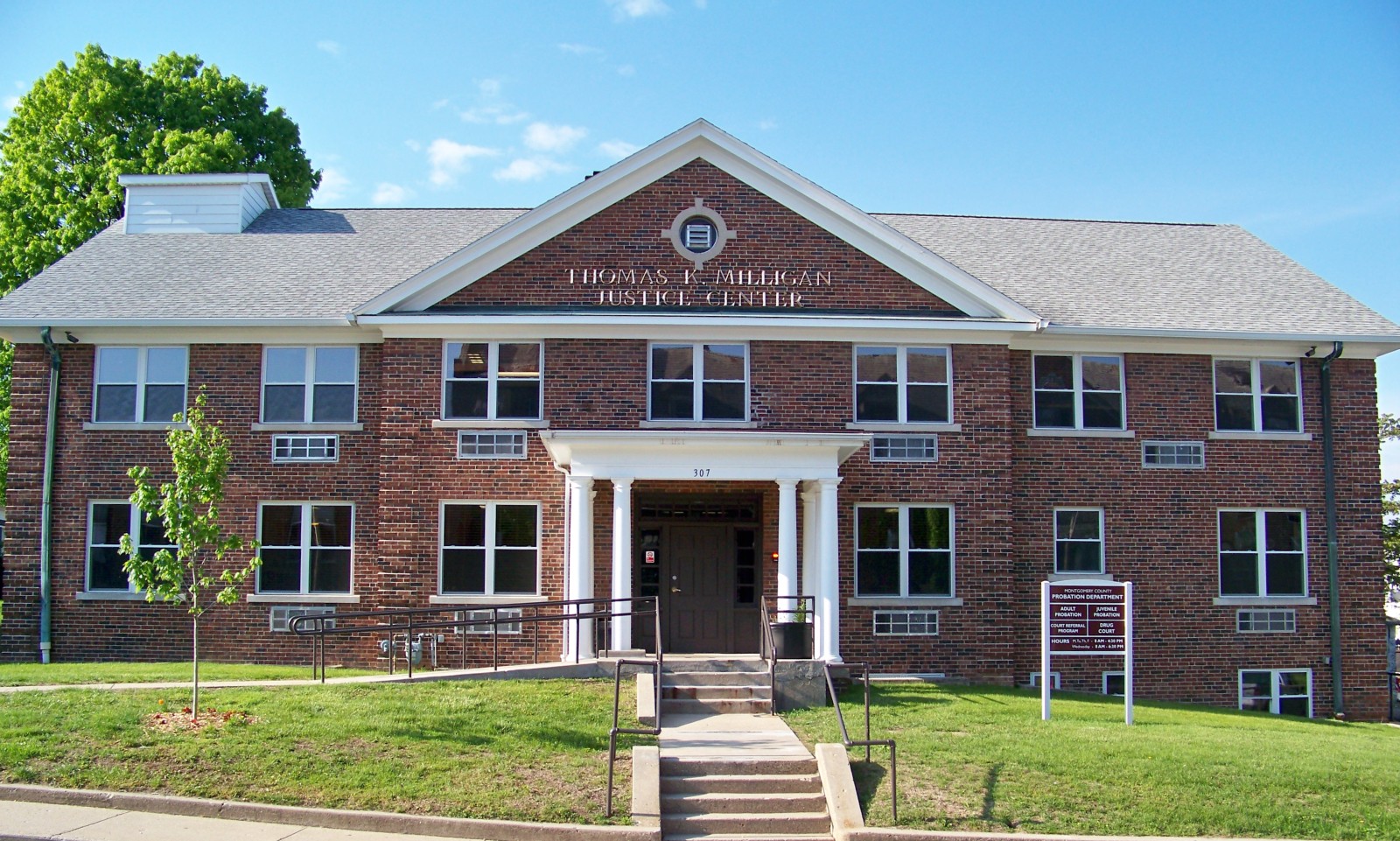 |
100 East Main St, Crawfordsville, IN 47933 | (765)-364-6420 | |
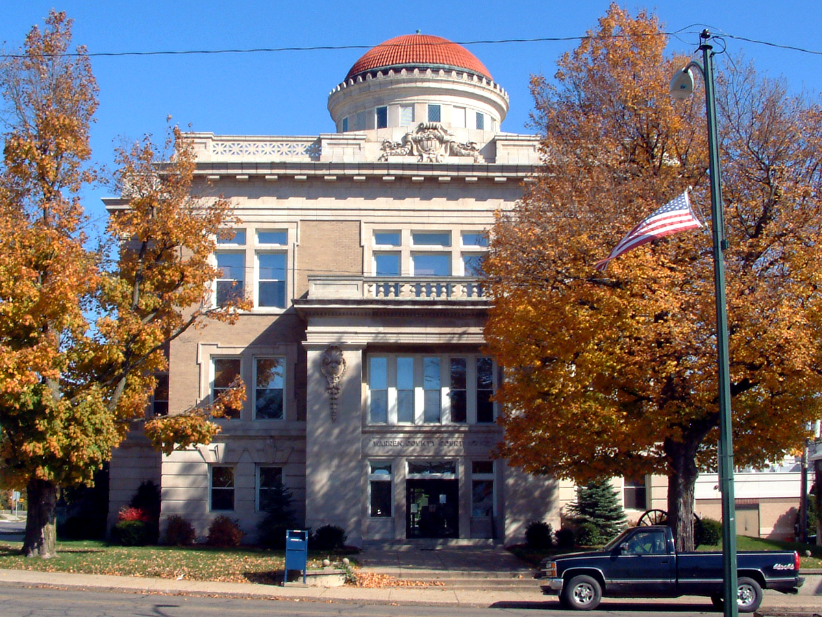 |
125 North Monroe St., Room 3, Williamsport, IN 47993 | (765)-764-4528 | |
 |
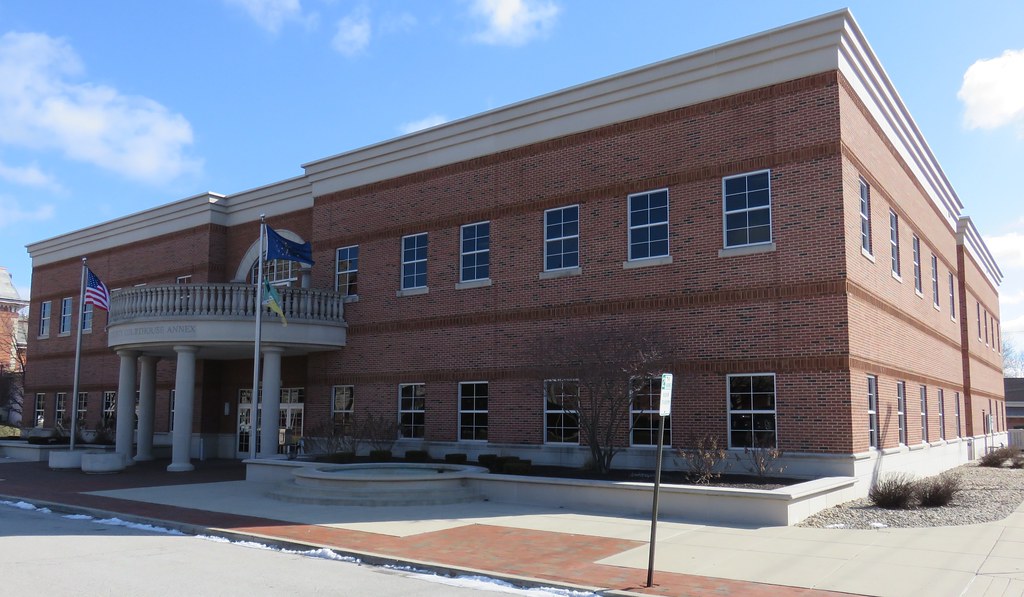
Johnson County Assessor Johnson County Courthouse Annex Building, Upper Floor |
86 W. Court St., Franklin, IN 46131 | (317)-346-4701 |
 |
111 American Legion Place, Greenfield, IN 46140 | (317)-477-1102 | |
 |
125 East 9th St., Rochester, IN 46975 | (574)-223-2801 | |
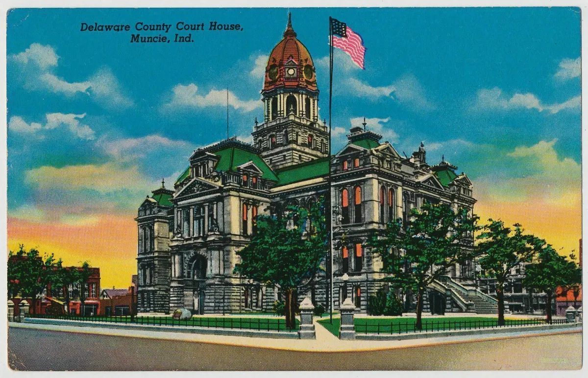 |
100 West Main St., Muncie, IN 47305 | (765)-747-7710 | |
 |
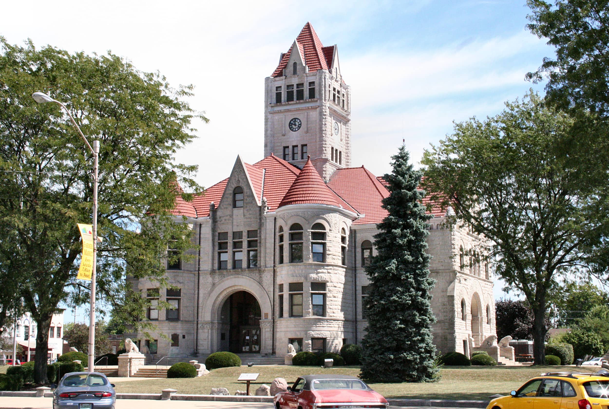
150 Courthouse Square, Suite 105, Greensburg, IN 47240 | (812)-663-4868 | |
 |
706 East 5th St., Suite 25, Fowler, IN 47944 | (765)-884-1205 | |
 |
201 North 3rd St., Kentland, IN 47951 | (219)-474-6081 | |
 |
126 East 3rd St., Mt. Vernon, IN 47620 | (812)-838-1309 | |
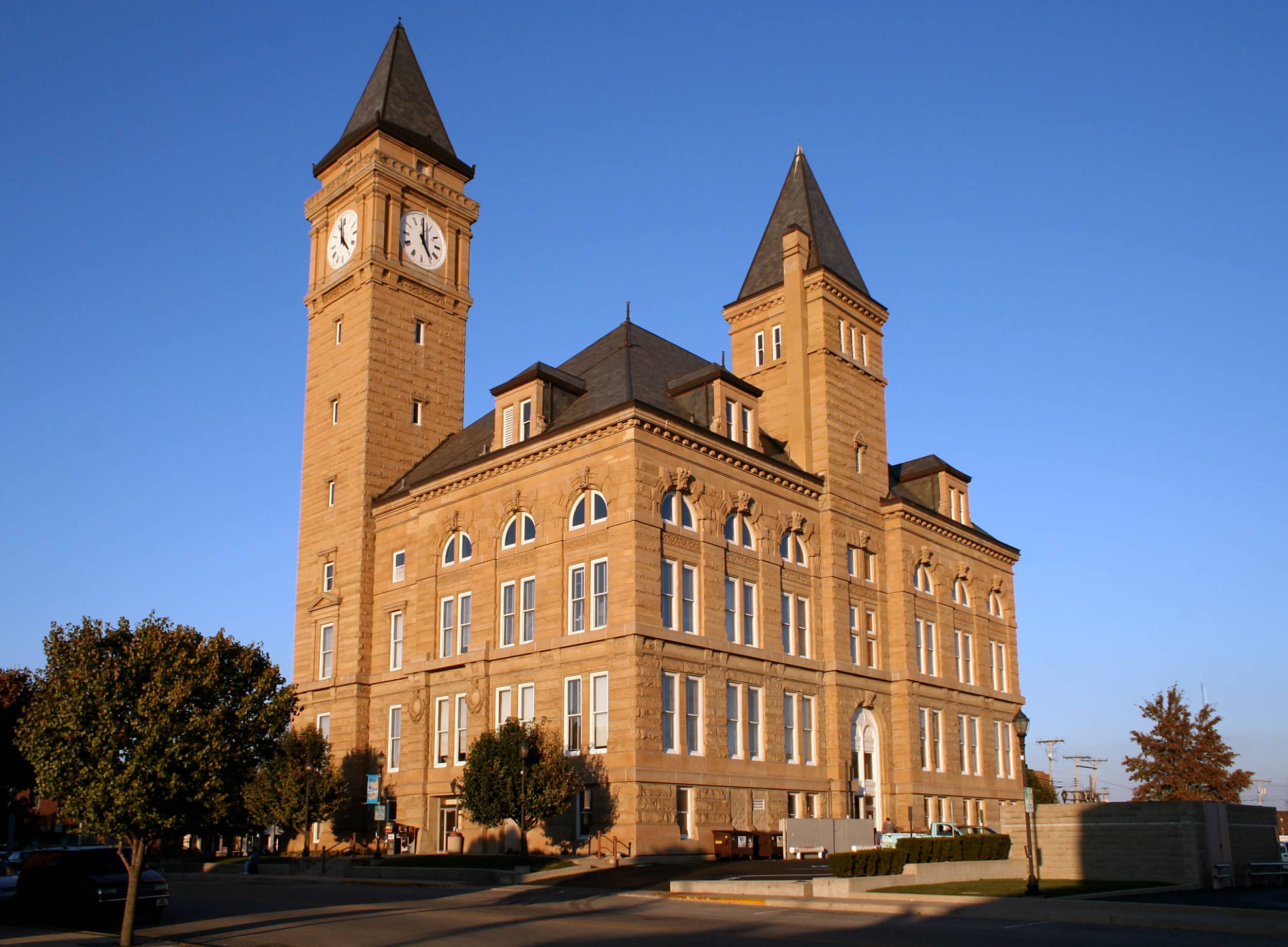 |
101 East Jefferson, Tipton, IN 46072 | (765)-675-2465 | |
 |
555 Michigan Ave., Suite 103, La Porte, IN 46350 | (219)-326-6808 | |
 |
Morgan County Assessor Morgan County Administration Building |
180 South Main St., Suite 218, Martinsville, IN 46151 | (765)-342-1065 |
 |
102 West Market St., Suite 202, Bluffton, IN 46714 | (260)-824-6476 | |
 |
189 Oak Street, Terre Haute, IN 47807 | (812)-462-3358 | |
 |
Rush County Courthouse 101 East Second St., Room 210, Rushville, IN 46173 | (765)-932-3242 | |
 |
Randolph County Courthouse 100 South Main St., Room 104, Winchester, IN 47394 | (765)-584-2427 | |
 |
100 West Center Street, Warsaw, IN 46580 | (574)-372-2310 | |
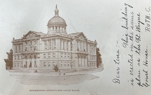 |
201 North Jefferson St., Room 102, Huntington, IN 46750 | (260)-358-4800 | |
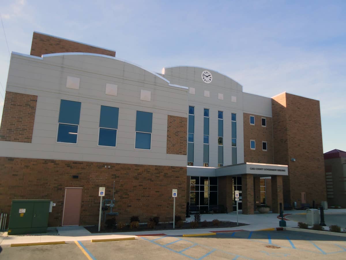 |
200 Court Park, Room 305, Logansport, IN 46947 | (574)-753-7710 | |
 |
101 West Main St., Suite 100, Delphi, IN 46923 | (765)-564-3444 | |
 |
110 West Washington St., Hartford City, IN 47348 | (765)-348-1707 |
The information provided on this website about U.S. States, Counties, and Cities, is compiled from publicly available sources and is made available “as is” for informational purposes only. No representations, warranties or guarantees are made as to the accuracy, adequacy, reliability, currentness, completeness, suitability or applicability of the information contained on this website for any particular purpose. All 3rd party trademarks are for reference purposes only. PublicRecords.com powered by Intelius is a privately owned website and is not a direct source of government records or services and not affiliated with any government agency.
Compiled by: Chris E. | Reviewed by: Blake A. | Last update: 03/13/24
Indiana has a variety of GIS records that are accessible to anyone. These records encompass a wide range of data allowing individuals to access and review available information online. Records can include but are not limited to, land ownership maps, property lines maps, and cadastral mapping information. We compile our resource lists from reliable government agencies to ensure ease in your search.
If you couldn't find the resource you were searching for, go to the Indiana Property & Land Records page for other public records resources. Looking for something other than property and land tax records in Indiana? Search the database of all public records available.
Visit our Contact Us page to report any issues.
Use the citation tool to easily create a properly formatted citation or reference. Select the format you’d like to use and copy the link from the screen below.
The information provided on this website about U.S. States, Counties, and Cities, is compiled from publicly available sources and is made available “as is” for informational purposes only. No representations, warranties or guarantees are made as to the accuracy, adequacy, reliability, currentness, completeness, suitability or applicability of the information contained on this website for any particular purpose. All 3rd party trademarks are for reference purposes only. PublicRecords.com powered by Intelius is a privately owned website and is not a direct source of government records or services and not affiliated with any government agency.
This site contains REAL public records data including criminal records, background reports, photos, court documents, address information, phone numbers, civil judgments, properties owned, social media profiles, and much more.
PublicRecords.com powered by Intelius does not provide consumer reports and is not a consumer reporting agency under the Fair Credit Reporting Act. We provide information (criminal record, address, phone number, property, civil judgment, and more) that can be used to satisfy your curiosity, protect your family, and find the truth about people in your life. To use our site you must certify below that you agree to our Privacy Policy and Terms of Use and will NOT use our site or the information we provide:


