
Conduct a GIS records search in Kansas using our GIS records resources.
View our GIS records resources for the state of Kansas. Use these GIS records to search for land ownership maps, cadastral maps, or property line maps. GIS records may contain GIS property search records, property ownership maps, and other public GIS record information.

| County | Resource | Details |
|---|---|---|
|
View Arkansas GIS maps including census tracts, townships, and more by county. |
||
|
View Kansas State GIS maps including catalog of available maps. |
||
|
View Kansas Department of Transportation traveler information maps, highway maps, traffic count maps, historical maps, transportation modal maps, and special interest maps. Some of the available maps include state maps, city maps, school districts map, state, district and city traffic count maps, and county bridge maps. |
||
| greenwood county |
View Greenwood County cemeteries map. |
|
| greenwood county |
View Kansas Department of Transportation county road maps by county through GIS maps. |
|
| greenwood county |
Explore Greenwood County's geographic information system (GIS) for detailed property maps, land records, and spatial data analysis. |
|
| greenwood county |
Explore Greenwood County's GIS mapping tools and access detailed property valuation data, ensuring fair market assessments for local real estate. |
|
| greenwood county |
Explore Greenwood County, KS GIS plat maps for detailed property and land ownership information, including parcel numbers and acreage. |
|
| greenwood county |
Explore GIS maps and parcel data for Greenwood County, Kansas. Instantly access property boundaries and associated records with ease. |
|
| greenwood county |
Explore Greenwood County, KS, with our interactive GIS map. Access detailed property information, local features, and geographical data. |
|
| greenwood county |
Explore Greenwood County, KS public records. Find property tax details, Kansas land and property values, and connect with the Greenwood County Assessor. |
|
| barber county |
Search Barber County property records by owner name, address, parcel id or legal description including GIS maps. |
|
| barber county |
Contact the Barber County Register of Deeds, Betty Jo Swayden, for property records and deeds in Medicine Lodge, KS. Call 620-886-3981 or fax 620-886-5045 for assistance. |
|
| barber county |
Barber County, KS Register of Deeds - Recording Fee Information |
Find information on recording fees for deeds, mortgages, and other legal documents in Barber County, Kansas. Fees start at $21.00 for the first page (up to 8.5 x 14 inches). |
| barber county |
Find the contact details for the Barber County Register of Deeds in Kansas, including phone numbers and email addresses for key officials. |
|
| barber county |
Explore services and records from the Barber County Register of Deeds in Kansas. Contact us for property information and official documentation. |
|
| barber county |
Find information on the Barber County Register of Deeds in Kansas, including services, records, and contact details for efficient property and legal documentation. |
|
| elk county |
Search Elk County property tax and assessment records by owner name, address, parcel id, or legal description including GIS map. |
|
| franklin county |
Search Franklin County property tax records by owner name, address or legal description including GIS maps. |
|
| franklin county |
View Franklin County district map. |
|
| scott county |
Search Scott County property tax and appraisal records by account number, address or name through GIS maps. |
|
| geary county |
Search Geary County property appraisal records by name, address or propery type including GIS maps. |
|
| stevens county |
View Stevens County GIS maps including taxing districts map, county road map, city maps, and other maps. |
|
| lincoln county |
Search Lincoln County property records by owner name, address, parcel id or legal description including GIS map. |
|
| sumner county |
Search Sumner County property appraisal records by address, name or property type including GIS maps. |
|
| shawnee county |
View Shawnee County floodplain maps. |
|
| shawnee county |
View Shawnee County GIS maps. |
|
| kearny county |
View Kearny County city maps. |
|
| russell county |
Search Russell County property tax and appraisal records by account number, address or owner name through GIS maps. |
|
| harper county |
View Harper County maps including ownership map, city street maps, and other maps. |
|
| ellis county |
View Ellis County development regulations and zoning maps. |
|
| ellis county |
View Ellis County Commission meeting minutes and agendas including district maps. |
|
| ellis county |
View Ellis County and City of Hays GIS maps including floodplain map, parcels map, road maps, and other maps. |
|
| pawnee county |
Search Pawnee County property appraisal records and parcel maps by owner name, address, or parcel ID. |
|
| cowley county |
View Cowley County floodplain maps by address, place or longitude-latitude coordinates. |
|
| cowley county |
View Cowley County GIS maps. |
|
| seward county |
View information about Seward County cemetery including cemetery maps. |
|
| seward county |
View Seward County floodplain management information including floodplain maps. |
|
| seward county |
View Seward County GIS maps including road map with aerial images, commission district map, and other maps. |
|
| seward county |
View Seward County voter and election information including election results and election precinct maps. |
|
| rush county |
Search Rush County property records by owner name or address through GIS maps. |
|
| washington county |
View City of Fayetteville GIS maps including land use map, City-owned property map, aerial photography maps, and others. |
|
| washington county |
View Washington County voting precinct map. |
|
| jackson county |
Search Jackson County property tax and assessment records by name or address including GIS maps. |
|
| wyandotte county |
View Wyandotte County maps including county streets, section maps, district maps, and other maps. |
|
| pottawatomie county |
View City of Manhattan floodplain information including flood insurance rate maps. |
|
| pottawatomie county |
View City of Manhattan maps including subdivision map, street map, zoning map, and other maps. |
|
| riley county |
Search Riley County GIS maps. |
|
| riley county |
View Riley County maps including flood maps, reference maps, road maps, zoning maps, and other maps. |
|
| riley county |
View Riley County voter and election information including polling locations and election maps. |
|
| dickinson county |
Search Dickinson County property tax and assessment records by owner name, address, parcel id, or legal description including GIS map. |
|
| dickinson county |
View Dickinson County GIS maps. |
|
| dickinson county |
View Dickinson County maps including commission districts map, school districts map, cemeteries map, and other maps. |
|
| stafford county |
View Stafford County Commission meeting minutes from 2013 to present and district map. |
|
| mcpherson county |
Search and view McPherson County maps including plat maps and district maps. |
|
| mcpherson county |
Search McPherson County property tax and assessment records by owner name, address, parcel id, or legal description including GIS map. |
|
| mcpherson county |
View McPherson County voter and election information including advance voting, voting sites map, and pending election information. |
|
| doniphan county |
Search Doniphan County property appraisal records through GIS maps. |
|
| harvey county |
Search Harvey County property appraisal records by account number, address or name including GIS maps. |
|
| harvey county |
View Harvey County floodplain information including floodplain maps. |
|
| chautauqua county |
Search Chautauqua County tax parcels by name, address, parcel id or legal description including GIS maps. |
|
| meade county |
Search Meade County property appraisal records by account number, address or name, and GIS maps. |
|
| anderson county |
Search Anderson County property tax and assessment records by owner name, address, parcel id, or legal description including GIS map. |
|
| rice county |
View Rice County Commission district map. |
|
| rice county |
View Rice County information about GIS maps. |
|
| grant county |
View information about Grant County cemeteries including search by name and cemetery maps. |
|
| grant county |
View Grant County maps. |
|
| grant county |
View Grant County voter and election information including election maps. |
|
| lane county |
Search Lane County property records by address or owner name including GIS maps. |
|
| johnson county |
View City of Olathe Police crime maps. |
|
| johnson county |
Search City of Olathe burial records by name or year of interment including interactive map. |
|
| johnson county |
View City of Olathe maps including school maps, city office map, and other maps. |
|
| butler county |
View Butler County GIS maps including parcel search map, zoning districts map and election maps. |
|
| butler county |
View Butler County voter and election information including polling locations, election results and election district maps. |
|
| leavenworth county |
Search Leavenworth County tax parcels through GIS maps. |
|
| pratt county |
Search Pratt County property records by address or owner name including GIS maps. |
|
| pratt county |
View Pratt County Commission district maps. |
|
| saline county |
View Saline County GIS maps including election maps and planning and zoning maps. |
|
| finney county |
View Finney County GIS maps including zoning map, cemetery map, parcel information, and other maps. |
|
| douglas county |
View City of Lawrence GIS maps including crime maps, environmental maps, historic district maps, and others. |
|
| douglas county |
View Douglas County cemeteries map. |
|
| douglas county |
View Douglas County floodplain information including floodplain maps. |
|
| douglas county |
View Douglas County maps including district maps, precincts maps, flood hazard maps, and other maps. |
|
| douglas county |
View Douglas County voter and election information including polling locations and election maps. |
|
| miami county |
Search Miami County property tax and assessment records by address, parcel id or section, township and range including GIS maps and cemetery search by name, birth year, death year and cemetery. |
|
| miami county |
View Miami County Commission district maps. |
|
| atchison county |
Search Atchison County property records by owner name, address, parcel id or legal description including GIS maps. |
|
| atchison county |
View Atchison County maps including townships map, school districts map, maintained roads map, and other maps. |
|
| osage county |
Search Osage County property tax and assessment records by owner name, address or legal description including GIS maps. |
|
| jefferson county |
Search Jefferson County property tax and assessment records by account number, address or name including GIS maps. |
|
| jefferson county |
View information about Jefferson County cemeteries including map. |
|
| jefferson county |
View Jefferson County road maps, subdivision maps and town maps. |
|
| jefferson county |
View Jefferson County voter and election information including election dates, election statistics, election results and election maps. |
|
| kingman county |
Search Kingman County property tax and assessment records by owner name, address, parcel id or legal description including GIS map. |
|
| lyon county |
Search Lyon County property tax and assessment records by account number, address or name through GIS maps. |
|
| lyon county |
View Lyon County floodplain management information including maps. |
|
| lyon county |
View Lyon County voter and election information including voting and registration locations and election maps. |
|
| reno county |
Search Reno County survey records such as section corner points. |
|
| reno county |
View City of Hutchinson GIS maps including parcel search. |
|
| reno county |
View Reno County floodplain information including FEMA maps. |
|
| reno county |
Search Reno County GIS maps including parcel search. |
|
| reno county |
View Reno County voter and election information including election results, voting locations, registration locations, and election maps. |
|
| barton county |
Search Barton County property tax and assessment records by owner name, address, parcel id, or legal description including GIS map. |
|
| barton county |
View Barton County maps including road map, townships maps, zoning map, cemeteries map, and other maps. |
|
| barton county |
View Barton County floodplain information including link to floodplain maps. |
|
| clay county |
Search Clay County property appraisal records by name or address. |
|
| crawford county |
Search Crawford County floodplain maps. |
|
| crawford county |
View Crawford County GIS maps including commission districts map, zoning map, flood zones map, and other maps. |
|
| rooks county |
Search Rooks County property records by owner name, address or parcel id through GIS maps. |
|
| yell county |
View Yell County road map. |
|
| white county |
Search the Arkansas Crime Information Center's sex offender directory by name, address or county through GIS maps. |
|
| van buren county |
View Van Buren County voter registration and election information including voting district maps. |
|
| sevier county |
Search the Arkansas Crime Information Center sex offender directory by name, address or county through GIS maps. |
|
| sebastian county |
View City of Fort Smith Police crime maps by incident type. |
|
| sebastian county |
View Sebastian County GIS maps including parcel search. |
|
| pulaski county |
View Pulaski County election maps including precinct maps, municipal map, school map, and other maps. |
|
| pulaski county |
View Pulaski County floodplain management information including floodplain maps. |
|
| pulaski county |
Search Pulaski County parcels through GIS maps. |
|
| pulaski county |
View Pulaski County voter and election information including voter registration forms, poll worker application, early voting location maps, and more. |
|
| greene county |
View Greene County maps including county road map, city map, ward map, and others. |
|
| garland county |
View Garland County maps including county road map, district maps, and others. |
|
| faulkner county |
View City of Conway GIS maps including zoning map, street mapbook, city council wards map, and other maps. |
|
| craighead county |
View City of Jonesboro floodplain maps. |
|
| craighead county |
View City of Jonesboro road construction map. |
|
| craighead county |
View City of Jonesboro city ward maps. |
|
| conway county |
View Conway County registered sex offenders including map. |
|
| benton county |
View City of Rogers GIS maps including aerial photos. |
|
| benton county |
View Benton County GIS maps including aerial photos, school districts, voting precinct maps, flood maps, and other maps. |
|
| benton county |
Search Benton County restaurant inspections through GIS maps. |
|
| benton county |
Use interactive GIS map to search for sex offenders living in Benton County. |
The information provided on this website about U.S. States, Counties, and Cities, is compiled from publicly available sources and is made available “as is” for informational purposes only. No representations, warranties or guarantees are made as to the accuracy, adequacy, reliability, currentness, completeness, suitability or applicability of the information contained on this website for any particular purpose. All 3rd party trademarks are for reference purposes only. PublicRecords.com powered by Intelius is a privately owned website and is not a direct source of government records or services and not affiliated with any government agency.
Below, you will find a list of offices in Kansas that may hold GIS maps. When requesting GIS records from these offices, it's important to be aware of any procedures, requirements, and fees associated with obtaining the records. Contacting the respective office directly will provide you with the most accurate and up-to-date information regarding access to GIS records in Kansas.
| Image | Office | Address | Phone |
|---|---|---|---|
 |
501 Woodlane Street Ste G4 Little Rock, AR 72201 | (501)-682-2767 | |
 |
430 Commercial St., Emporia, KS 66801 | (620)-341-3302 | |
 |
423 North 5th St., Atchison, KS 66002 | (913)-804-6010 | |
 |
800 North Main St., Newton, KS 67114 | (316)-284-6820 | |
 |
Barton County Courthouse, Suite 206 1400 Main St., Great Bend, KS 67530 | (620)-793-1821 | |
 |
201 South Pearl St., Suite 100, Paola, KS 66071 | (913)-294-9311 | |
 |
315 South Main St., Ottawa, KS 66067 | (785)-229-3420 | |
 |
300 South Ninnescah St., 1st Floor, Pratt, KS 67124 | (620)-672-4112 | |
 |
117 North Maple St., McPherson, KS 67460 | (620)-241-5870 | |
 |
300 West Jefferson St., Oskaloosa, KS 66066 | (785)-863-2080 | |
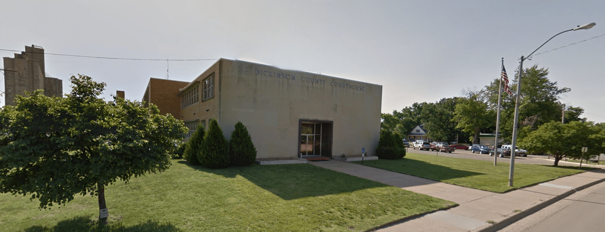 |
109 East First St., Suite 103, Abilene, KS 67410 | (785)-263-4418 |
The information provided on this website about U.S. States, Counties, and Cities, is compiled from publicly available sources and is made available “as is” for informational purposes only. No representations, warranties or guarantees are made as to the accuracy, adequacy, reliability, currentness, completeness, suitability or applicability of the information contained on this website for any particular purpose. All 3rd party trademarks are for reference purposes only. PublicRecords.com powered by Intelius is a privately owned website and is not a direct source of government records or services and not affiliated with any government agency.
Compiled by: Chris E. | Reviewed by: Blake A. | Last update: 03/13/24
Kansas has a variety of GIS records that are accessible to anyone. These records encompass a wide range of data allowing individuals to access and review available information online. Records can include but are not limited to, land ownership maps, property lines maps, and cadastral mapping information. We compile our resource lists from reliable government agencies to ensure ease in your search.
If you couldn't find the resource you were searching for, go to the Kansas Property & Land Records page for other public records resources. Looking for something other than property and land tax records in Kansas? Search the database of all public records available.
Visit our Contact Us page to report any issues.
Use the citation tool to easily create a properly formatted citation or reference. Select the format you’d like to use and copy the link from the screen below.
The information provided on this website about U.S. States, Counties, and Cities, is compiled from publicly available sources and is made available “as is” for informational purposes only. No representations, warranties or guarantees are made as to the accuracy, adequacy, reliability, currentness, completeness, suitability or applicability of the information contained on this website for any particular purpose. All 3rd party trademarks are for reference purposes only. PublicRecords.com powered by Intelius is a privately owned website and is not a direct source of government records or services and not affiliated with any government agency.
This site contains REAL public records data including criminal records, background reports, photos, court documents, address information, phone numbers, civil judgments, properties owned, social media profiles, and much more.
PublicRecords.com powered by Intelius does not provide consumer reports and is not a consumer reporting agency under the Fair Credit Reporting Act. We provide information (criminal record, address, phone number, property, civil judgment, and more) that can be used to satisfy your curiosity, protect your family, and find the truth about people in your life. To use our site you must certify below that you agree to our Privacy Policy and Terms of Use and will NOT use our site or the information we provide:


