
Conduct a GIS records search in Utah using our GIS records resources.
View our GIS records resources for the state of Utah. Use these GIS records to search for land ownership maps, cadastral maps, or property line maps. GIS records may contain GIS property search records, property ownership maps, and other public GIS record information.

| County | Resource | Details |
|---|---|---|
|
Search Utah available commercial and industrial real estate by city or county including property type, size, location and map of sites. |
||
|
Search Western States marriage records from the pre-1900s to the 1930s. |
||
| duchesne county |
Search Duchesne County property tax and assessment records through GIS maps. |
|
| duchesne county |
Search Duchesne County survey maps by township and range number. |
|
| duchesne county |
Explore Duchesne County's GIS Services for comprehensive digital mapping and geographic information system maintenance, enhancing local Utah data accessibility. |
|
| duchesne county |
Explore and interact with Duchesne County's tax parcel data using the GIS mapping tool. Access detailed property information, boundaries, and more. |
|
| duchesne county |
Explore Duchesne County's official GIS map for detailed property boundary information. For precise boundaries, consult a professional surveyor. |
|
| duchesne county |
Explore Duchesne County's GIS maps for parcel and plat information. Access detailed property data and public records online. |
|
| duchesne county |
For the latest Duchesne County GIS parcel information, please update your bookmarks and visit the official Duchesne County website. Find quick links to the GIS County Parcel Viewer for up-to-date property details. |
|
| weber county |
View City of Ogden voter registration and election information including ward maps and election results. |
|
| weber county |
View City of Ogden maps including zoning map, cemetery may and other maps. |
|
| washington county |
View Washington County voter registration and election information including polling locations, election results, precinct maps, and campaign financial reports. |
|
| washington county |
View Washington County historic aerial photography maps by section number and year. |
|
| washington county |
View City of St. George GIS maps such as park and trails, schools, and more. |
|
| washington county |
View Washington County maps including zoning area maps, precinct maps, historical aerial maps, and other maps. |
|
| wasatch county |
Search Wasatch County recorded land documents including marriage licenses, miscellaneous maps, archives, meetings, and more. |
|
| wasatch county |
View Wasatch County GIS maps including addresses, parcels, aerial images, voting maps, flood maps and more. |
|
| wasatch county |
View Wasatch County voter registration and election information including absentee ballots, polling locations, election results, precinct maps, and campaign financial statements. |
|
| wasatch county |
Search Wasatch County survey records including records of survey and survey tie sheets. |
|
| uintah county |
View Uintah County voter registration and election information including absentee ballot, polling locations, election results and voting district maps. |
|
| uintah county |
View information about Uintah County zoning regulations and interactive zoning map. |
|
| uintah county |
View Uintah County GIS maps such as zoning map, flood map, voting district map. public lands initiative map, oil and gas wells map, and more. |
|
| uintah county |
View Uintah County recorded surveys and monument records. |
|
| sevier county |
View Sevier County GIS maps including zoning map. |
|
| san juan county |
View San Juan County development ordinances and zoning maps. |
|
| san juan county |
Search San Juan County survey records such as record of survey plats, annexation plats, townsite plats, and more. |
|
| salt lake county |
View Salt Lake County information about archives and historical records including birth records, death records, divorce records, marriage records, maps and permits. |
|
| salt lake county |
View City of Murray City GIS maps including voting districts, zoning maps, and more. |
|
| salt lake county |
View City of South Jordan GIS maps including precinct maps, zoning maps, and more. |
|
| salt lake county |
View City of South Jordan voter and election information including election maps, vote by mail information and election results. |
|
| salt lake county |
View City of West Valley City voter and election information including finance reports, council district map, and more. |
|
| salt lake county |
View Salt Lake County voter registration and election information including polling locations, election results, campaign finance disclosures and precinct maps. |
|
| salt lake county |
View City of South Jordan GIS maps including monthly traffic accident maps, park maps, school maps, and other maps. |
|
| salt lake county |
Search City of Salt Lake City parcels including zoning information by number or address including map. |
|
| salt lake county |
View City of West Valley City maps including council districts map, school boundary maps, zoning map, parcel viewer map, and other maps. |
|
| salt lake county |
Search Salt Lake County property tax parcels through GIS maps by parcel number, owner name or address. |
|
| salt lake county |
View City of Murray City Police crime maps including date, address and incident. |
|
| salt lake county |
View the City of Salt Lake City monthly crime maps from 2015 to present. |
|
| salt lake county |
View City of Sandy City maps including city council districts map, parks map, schools map, and other maps. |
|
| salt lake county |
View Salt Lake County flood control information including maps such drainage maps, rainfall maps, and more. |
|
| salt lake county |
View Salt Lake County maps and information about Salt Lake County communities, townships, and boundary maps. |
|
| salt lake county |
Search Salt Lake County recorded land records including parcel plats through a paid subscription, access by creating an account ID and password. |
|
| salt lake county |
Search Salt Lake County Library Services genealogy records including maps and photos, careers and tests, business and legal, health and medical, history, local news and events, and more. |
|
| millard county |
View Millard County zoning map. |
|
| grand county |
View Grand County roads map. |
|
| davis county |
View City of Bountiful zoning maps, city maps, and other maps. |
|
| davis county |
View information about City of Bountiful cemetery including search of burial records and burial location on maps, including fees for various types of services. |
|
| carbon county |
Search Carbon County property tax and assessment records through GIS general maps. |
|
| carbon county |
Search Carbon County recorded land records and plat maps by document text such as tax notices, surveys, or by document type such as entry number, book, page, and recording date. |
|
| cache county |
View Cache County voter registration and election information including polling locations, election results and election precinct maps. |
|
| cache county |
Search interactive GIS maps of Cache County, including flood insurance rate, parcels, canal information, as well as several static maps, such as zoning, land ownership, and capital improvements, and spatial data available for download. |
|
| cache county |
View City of Logan GIS department maps, including interactive maps. |
|
| summit county |
View Summit County voter registration and election information including election results, and voting precinct maps. |
|
| summit county |
Search interactive Summit County GIS maps including parcel search and road name search. |
|
| rich county |
View Rich County voter registration and election information including polling locations, precinct maps and election results. |
|
| rich county |
Search Rich County plats and subdivisions by subdivision name, plat number, and section number. |
|
| kane county |
View information about Kane County land use ordinances, maps and various applications, and fees. |
|
| utah county |
View City of Provo City GIS maps by address or owner name including parcel information, zoning, voting locations, and other maps. |
|
| utah county |
View City of Provo City voter registration and election information including election results, campaign finance reports, and district maps. |
|
| beaver county |
View Beaver County voter and election information including online voter registration, voting precinct maps, and absentee ballot appplication. |
The information provided on this website about U.S. States, Counties, and Cities, is compiled from publicly available sources and is made available “as is” for informational purposes only. No representations, warranties or guarantees are made as to the accuracy, adequacy, reliability, currentness, completeness, suitability or applicability of the information contained on this website for any particular purpose. All 3rd party trademarks are for reference purposes only. PublicRecords.com powered by Intelius is a privately owned website and is not a direct source of government records or services and not affiliated with any government agency.
Below, you will find a list of offices in Utah that may hold GIS maps. When requesting GIS records from these offices, it's important to be aware of any procedures, requirements, and fees associated with obtaining the records. Contacting the respective office directly will provide you with the most accurate and up-to-date information regarding access to GIS records in Utah.
| Image | Office | Address | Phone |
|---|---|---|---|
 |
25 North Main St., Heber, UT 84032 | (435)-657-3210 | |
 |
120 East Main, Price, UT 84501 | (435)-636-3733 | |
 |
179 North Main St., Suite 102, Logan, UT 84321 | (435)-755-1460 | |
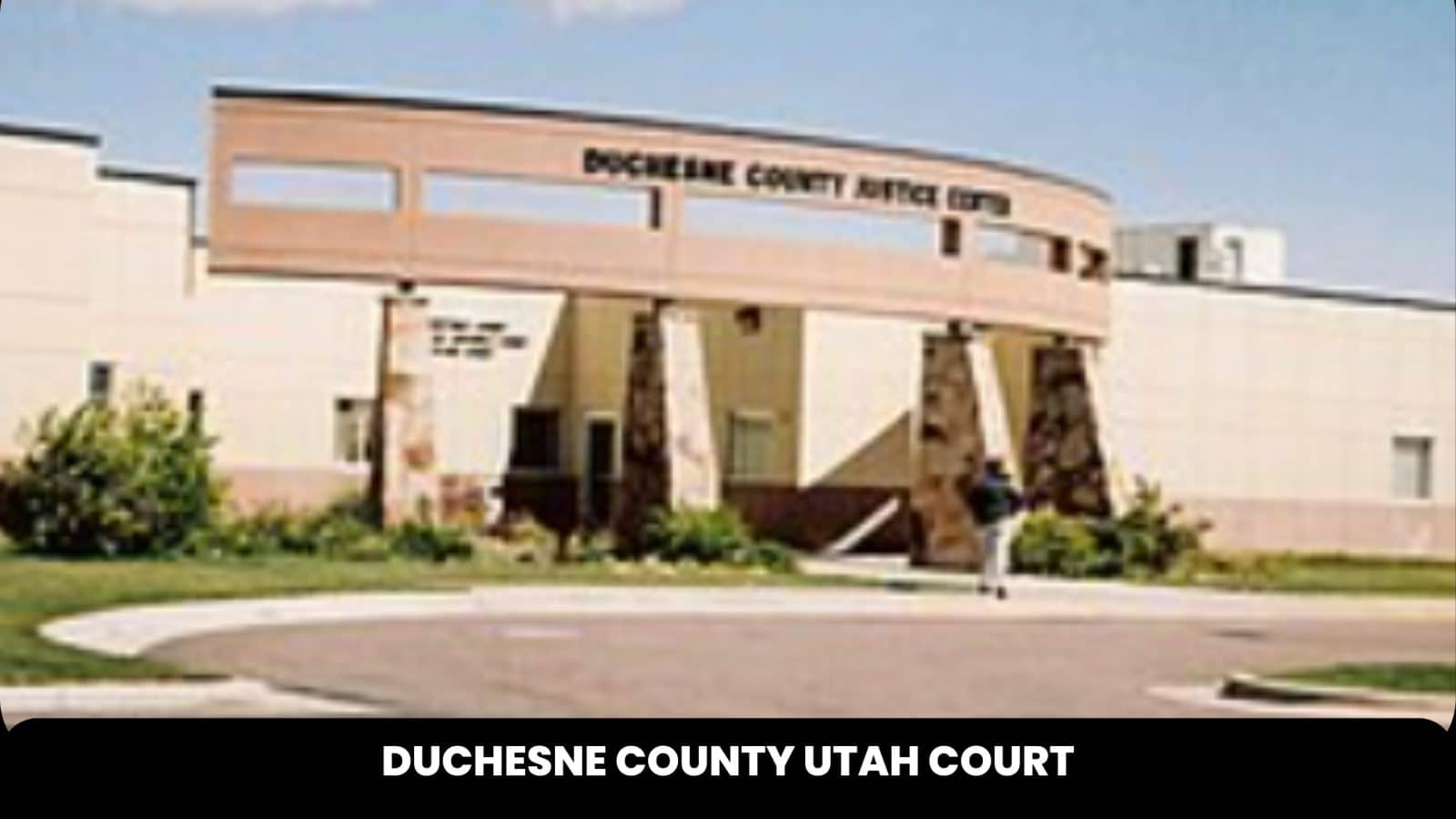 |
734 N Center, Duchesne, UT 84021 | (435)-738-1115 | |
 |
2001 South State Street #S2-200, Salt Lake City, UT 84114 | (385)-468-7399 |
The information provided on this website about U.S. States, Counties, and Cities, is compiled from publicly available sources and is made available “as is” for informational purposes only. No representations, warranties or guarantees are made as to the accuracy, adequacy, reliability, currentness, completeness, suitability or applicability of the information contained on this website for any particular purpose. All 3rd party trademarks are for reference purposes only. PublicRecords.com powered by Intelius is a privately owned website and is not a direct source of government records or services and not affiliated with any government agency.
Compiled by: Chris E. | Reviewed by: Blake A. | Last update: 03/13/24
Utah has a variety of GIS records that are accessible to anyone. These records encompass a wide range of data allowing individuals to access and review available information online. Records can include but are not limited to, land ownership maps, property lines maps, and cadastral mapping information. We compile our resource lists from reliable government agencies to ensure ease in your search.
If you couldn't find the resource you were searching for, go to the Utah Property & Land Records page for other public records resources. Looking for something other than property and land tax records in Utah? Search the database of all public records available.
Visit our Contact Us page to report any issues.
Use the citation tool to easily create a properly formatted citation or reference. Select the format you’d like to use and copy the link from the screen below.
The information provided on this website about U.S. States, Counties, and Cities, is compiled from publicly available sources and is made available “as is” for informational purposes only. No representations, warranties or guarantees are made as to the accuracy, adequacy, reliability, currentness, completeness, suitability or applicability of the information contained on this website for any particular purpose. All 3rd party trademarks are for reference purposes only. PublicRecords.com powered by Intelius is a privately owned website and is not a direct source of government records or services and not affiliated with any government agency.
This site contains REAL public records data including criminal records, background reports, photos, court documents, address information, phone numbers, civil judgments, properties owned, social media profiles, and much more.
PublicRecords.com powered by Intelius does not provide consumer reports and is not a consumer reporting agency under the Fair Credit Reporting Act. We provide information (criminal record, address, phone number, property, civil judgment, and more) that can be used to satisfy your curiosity, protect your family, and find the truth about people in your life. To use our site you must certify below that you agree to our Privacy Policy and Terms of Use and will NOT use our site or the information we provide:


