
Conduct an environmental health records search in Washington using our environmental health records resources.
View our environmental health records resources for the state of Washington. Use these environmental health records to view flood zone maps, conduct a permit search, and to search for other essential data about environmental health. Environmental health records may contain flood zone areas, permit search help, GIS mapping resources, and other environmental health information.

| County | Resource | Details |
|---|---|---|
|
Search Washington Division of Environmental Health database of public wells and other drinking water sources to discover results of water testing. |
||
|
View fish and shellfish consumption advisories issued for specific water bodies in Washington State due to chemical contamination. |
||
|
Use this Washington State Department of Health system to find out if specific beaches have biotoxin related closures or advisories. |
||
|
Search Washington sustainability and environmental monitoring data such as cleanup site search, contaminated site cleanup, industrial permits, list of polluted water, and more. |
||
|
View daily radiation levels for sites in Seattle, Spokane, Richland and Tumwater. Provided by the Washington Department of Health in response to the nuclear disaster in Japan. |
||
| skagit county |
View interactive and static Skagit County GIS maps including Assessor parcel maps and related property information, flood zones, school districts, voting precincts, hydric soils, and topography. |
|
| skagit county |
Search for Skagit County septic system permits by address, permit number, parcel number, or owner name. |
|
| skagit county |
Search for Skagit County well data by owner name, address, parcel number, legal description or well ID. |
|
| whatcom county |
View various interactive and static City of Bellingham GIS maps including tax parcels, FEMA flood zones, public lands and open space, zoning, street index, neighborhoods, topography, and aerial photos. |
|
| whatcom county |
View various static Whatcom County GIS maps including zoning, critical areas ordinance, soils, geologically hazardous areas, wetlands, wildlife habitat conservation areas, watersheds, and other miscellaneous maps. |
|
| snohomish county |
Search interactive Snohomish County GIS maps for Assessor parcel data, permit information, flood areas, zoning, voter districts and precincts, real time flood warning information, water quality, and aerial photos. Static maps such as future land use, critical areas, and general reference are also provided. |
|
| snohomish county |
View the City of Everett annual drinking water quality reports from 2009 to present. |
|
| pierce county |
View interactive and static Pierce County GIS maps including property sales and assessment information, polling places, political leaders, flood conditions, park locations, zoning laws, survey control, environmental data, and neighborhood crime data. |
|
| pierce county |
Search for Pierce County septic system records by address or parcel number. |
|
| king county |
View various static and interactive King County GIS maps including property information, political boundaries, election districts, parks, community data and demographics, floodplains, and planning information. |
|
| king county |
View various static and interactive City of Kent GIS maps including flood hazard areas, zoning districts, wetlands, survey control points, parks, and government buildings. |
|
| king county |
View various static City of Kirkland GIS maps including parcels, neighborhood areas, schools, zoning and land use, hazardous liquid pipelines, sensitive areas, and walking routes. |
|
| king county |
View current and historical King County swimming beach bacteria, algal toxin, and temperature data and beach closures. |
|
| franklin county |
Search interactive Franklin County GIS map for recorded surveys, zoning and land use, soils, drug-free zones, and political boundaries. Data files such as plats, building permits, urban growth areas, and voting precincts are also provided. |
|
| franklin county |
View various static City of Pasco GIS maps including land use, planning areas, housing permits, trails, critical areas, council districts, zoning, and FEMA flood zones. |
|
| franklin county |
View the City of Pasco most recent annual drinking water quality report. |
|
| clark county |
View interactive and static Clark County GIS maps including property records, road atlas, aerial photos, environmental, recorded septic documents, building permits, land use, quarter sections, recorded subdivisions and plats, crime incidents, and administrative boundaries. |
|
| clark county |
View the City of Vancouver current annual drinking water quality report. |
|
| spokane county |
Search interactive City of Spokane GIS maps for property information, FEMA flood zones, topography, and crime incidents. Static maps such as zoning, land use, and streets are also provided. |
|
| spokane county |
View various static Spokane County GIS maps including Assessor's counter maps, FEMA flood plains, historical townships, municipalities, school districts, land use, zoning, and street atlas. |
|
| kittitas county |
Search interactive Kittitas County GIS map for parcel ownership information, FEMA flood zones, voting precincts, commissioner districts, and topography. Search by address, parcel number, or legal description. |
|
| jefferson county |
Search for Jefferson County property tax and assessment records by parcel number or address. Searches for issued building permits, tax affidavits, plats and surveys, septic files on site sewage cases, and flood certificates are also provided. |
|
| jefferson county |
Search interactive Jefferson County GIS map for zoning, assessor date, elevations, critical areas, census data, and road atlas. |
The information provided on this website about U.S. States, Counties, and Cities, is compiled from publicly available sources and is made available “as is” for informational purposes only. No representations, warranties or guarantees are made as to the accuracy, adequacy, reliability, currentness, completeness, suitability or applicability of the information contained on this website for any particular purpose. All 3rd party trademarks are for reference purposes only. PublicRecords.com powered by Intelius is a privately owned website and is not a direct source of government records or services and not affiliated with any government agency.
Below, you will find a list of offices in Washington that may hold environmental health records. When requesting environmental health records from these offices, it's important to be aware of any procedures, requirements, and fees associated with obtaining the records. Contacting the respective office directly will provide you with the most accurate and up-to-date information regarding access to environmental health records in Washington.
| Image | Office | Address | Phone |
|---|---|---|---|
 |
1820 Jefferson St., Port Townsend, WA 98368 | (360)-385-9105 | |
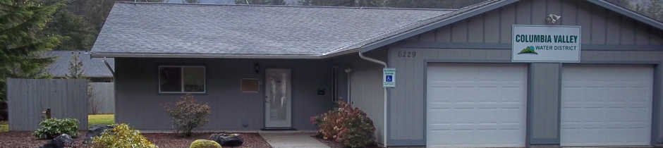 |
6229 Azure Way, Maple Falls, WA 98266 | (360)-599-1699 | |
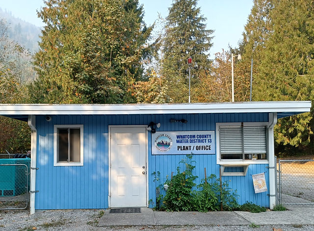 |
532 Sprague Valley Dr, Maple Falls, WA 98266 | (360)-599-1801 | |
 |
115 W. Court St. Box 103. Goldendale, WA | (509)-773-4565, (509)-493-1558 | |
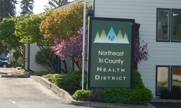 |
240 E Dominion Ave. Colville, WA 99114 | (509)-447-3131 | |
 |
2008 W Washington Ave, Yakima, WA 98903 | (509)-575-6080 | |
 |
55 W Moore St, Walla Walla, WA 99362 | (509)-527-4363 | |
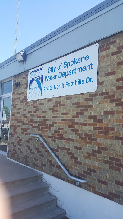 |
914 E North Foothills Dr, Spokane, WA 99207 | (509)-625-7800 | |
 |
17079 WA-9, Mount Vernon, WA 98274 | (360)-422-8373 | |
 |
9200 122nd St E, Puyallup, WA 98373 | (253)-798-7000 | |
 |
13173 US-12, Packwood, WA 98361 | (360)-494-7631 | |
 |
120 Beaver Ln, Cle Elum, WA 98922 | (509)-674-2738 | |
 |
12606 1st Ave S, Seattle, WA 98168 | (206)-243-3990 | |
 |
692 Eastmont Ave, East Wenatchee, WA 98802 | (509)-884-2484 | |
 |
124 S Broadway Ave, Othello, WA 99344 | (509)-488-3529 |
The information provided on this website about U.S. States, Counties, and Cities, is compiled from publicly available sources and is made available “as is” for informational purposes only. No representations, warranties or guarantees are made as to the accuracy, adequacy, reliability, currentness, completeness, suitability or applicability of the information contained on this website for any particular purpose. All 3rd party trademarks are for reference purposes only. PublicRecords.com powered by Intelius is a privately owned website and is not a direct source of government records or services and not affiliated with any government agency.
Compiled by: Chris E. | Reviewed by: Blake A. | Last update: 03/13/24
Washington has a variety of environmental health records that are accessible to anyone. These records encompass a wide range of data allowing individuals to access and review available information online. Records can include but are not limited to, flood zone maps, permit searches, and other environmental health information. We compile our resource lists from reliable government agencies to ensure ease in your search.
If you couldn't find the resource you were searching for, go to the Washington Legal and Government Records page for other public records resources. Looking for something other than legal and governement records in Washington? Search the database of all public records available.
Visit our Contact Us page to report any issues.
Use the citation tool to easily create a properly formatted citation or reference. Select the format you’d like to use and copy the link from the screen below.
The information provided on this website about U.S. States, Counties, and Cities, is compiled from publicly available sources and is made available “as is” for informational purposes only. No representations, warranties or guarantees are made as to the accuracy, adequacy, reliability, currentness, completeness, suitability or applicability of the information contained on this website for any particular purpose. All 3rd party trademarks are for reference purposes only. PublicRecords.com powered by Intelius is a privately owned website and is not a direct source of government records or services and not affiliated with any government agency.
This site contains REAL public records data including criminal records, background reports, photos, court documents, address information, phone numbers, civil judgments, properties owned, social media profiles, and much more.
PublicRecords.com powered by Intelius does not provide consumer reports and is not a consumer reporting agency under the Fair Credit Reporting Act. We provide information (criminal record, address, phone number, property, civil judgment, and more) that can be used to satisfy your curiosity, protect your family, and find the truth about people in your life. To use our site you must certify below that you agree to our Privacy Policy and Terms of Use and will NOT use our site or the information we provide:


